A Blank Map of Africa, the second largest continent on Earth, is known for its vast variety, vibrant cultures, and amazing natural beauty. It is surrounded by the Mediterranean Sea in the north, the Atlantic Ocean in the west, the Indian Ocean in the east, and the Red Sea in the Northeast, which includes 54 countries with different traditions, languages, and cultural identities. The continent is home to stunning scenery, such as deserts such as the Sahara to Rain rainforests, savannahs, and royal mountains such as Kilimanjaro.
Related Post:
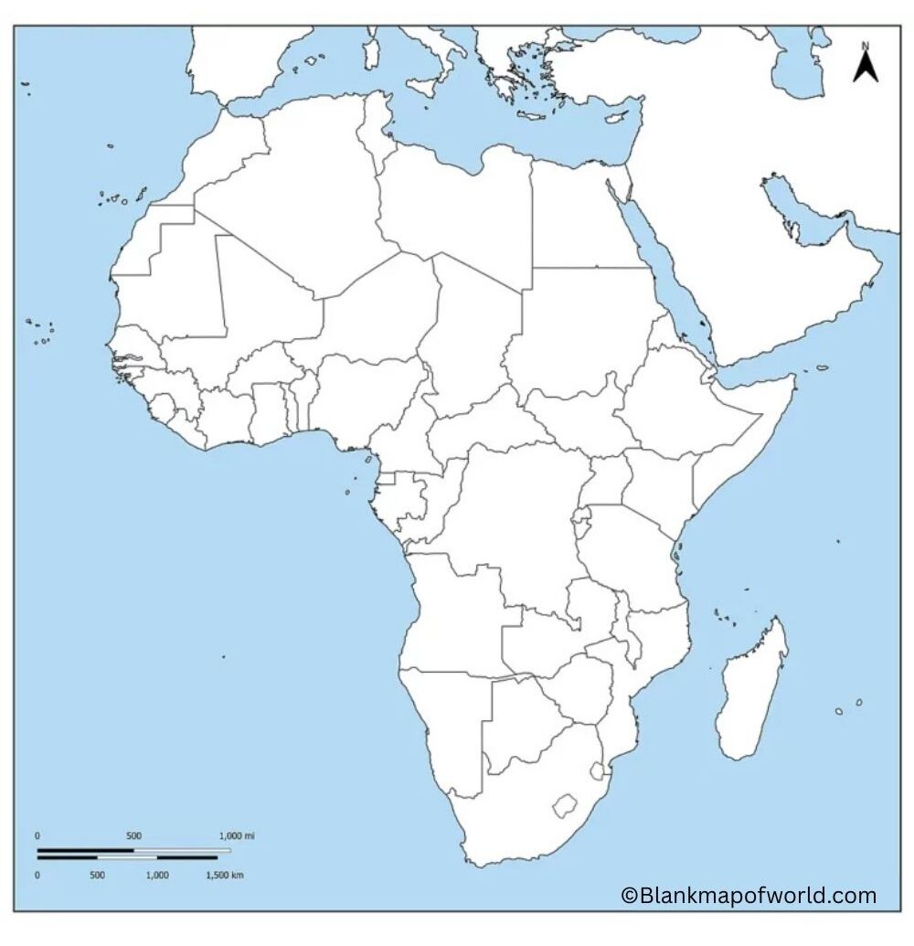
Free Blank Map of Africa

Africa is rich in natural resources, including gold, diamonds, oil, and fertile agricultural land, which an important players in global trade. Its vibrant cultures are expressed through colorful festivals, music, dance, and cuisine, which reflect a mixture of ancient traditions and modern influences. Known as the cradle of humanity, Africa has a deep historical and archaeological significance. Today, it continues to grow, provides opportunities in tourism, trade, and sustainability.
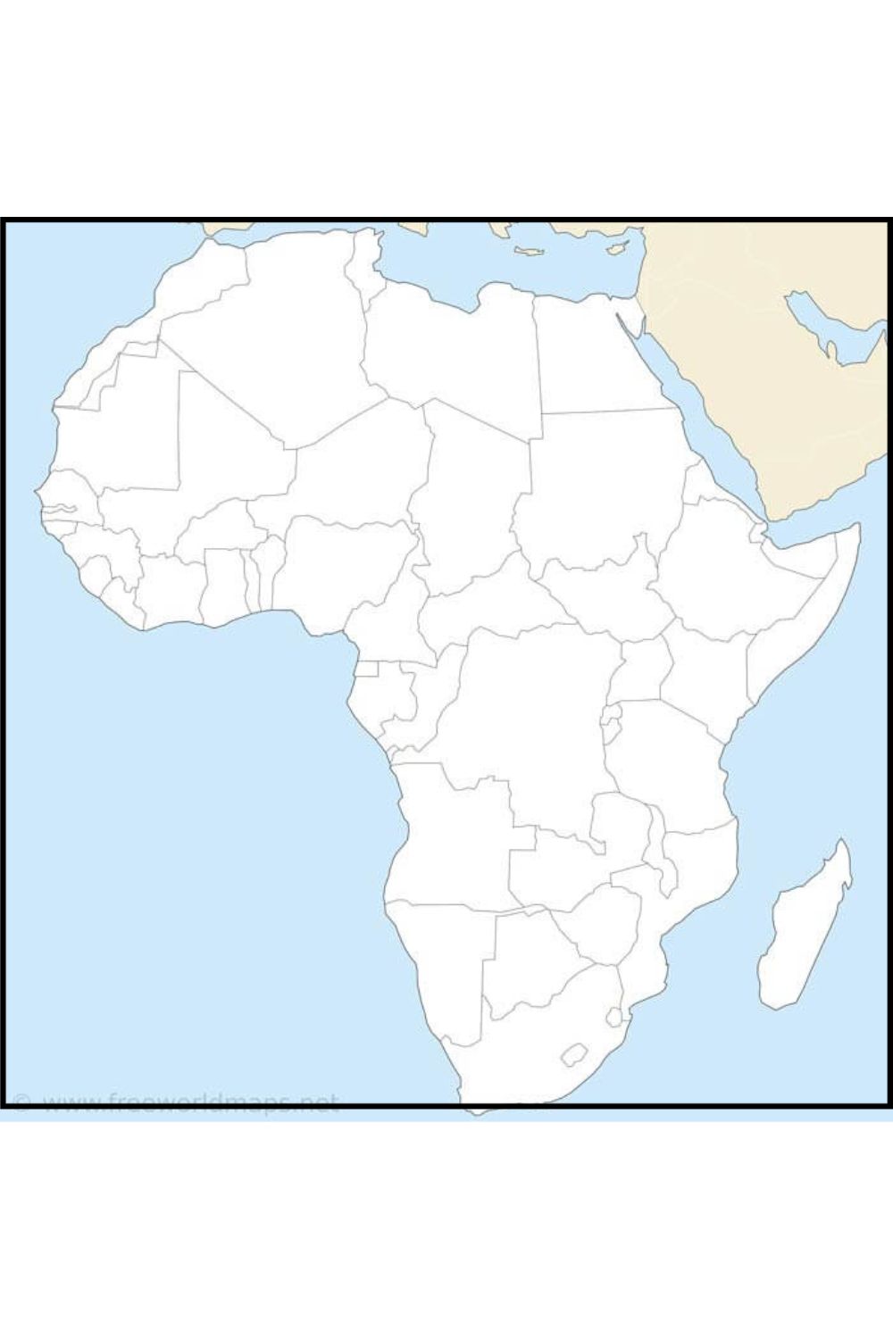
The map is a representation of the continent, without borders or names of countries. In educational settings, it allows for learning about which countries are where in Africa, as well as the physical features and regions of the continent.
The map makes interactive learning experiences possible. For instance, you can name all countries, trace rivers, find landforms like the Sahara Desert and the Nile River, and so on.
It can also be used as a valuable tool for studying historical events, cultural regions, or political boundaries. With its straightforward layout, a blank map helps students avoid the distractions of maps filled with data. The result is that they acquire a real understanding of African Geography.
| Country | Capital | Estimated Population (2024) | Region | |
|---|---|---|---|---|
| 1 | Nigeria | Abuja | 229 million | West Africa |
| 2 | Ethiopia | Addis Ababa | 126 million | East Africa |
| 3 | Egypt | Cairo | 111 million | North Africa |
| 4 | Democratic Republic of the Congo | Kinshasa | 102 million | Central Africa |
| 5 | Tanzania | Dodoma | 67 million | East Africa |
| 6 | South Africa | Pretoria (admin.) | 60 million | Southern Africa |
| 7 | Kenya | Nairobi | 56 million | East Africa |
| 8 | Sudan | Khartoum | 49 million | North-East Africa |
| 9 | Algeria | Algiers | 46 million | North Africa |
| 10 | Uganda | Kampala | 48 million | East Africa |
| 11 | Morocco | Rabat | 38 million | North Africa |
| 12 | Angola | Luanda | 37 million | Central Africa |
| 13 | Ghana | Accra | 34 million | West Africa |
| 14 | Mozambique | Maputo | 34 million | Southern Africa |
| 15 | Madagascar | Antananarivo | 30 million | East Africa (Island) |
| 16 | Cameroon | Yaoundé | 28 million | Central Africa |
| 17 | Côte d'Ivoire (Ivory Coast) | Yamoussoukro | 28 million | West Africa |
| 18 | Niger | Niamey | 27 million | West Africa |
| 19 | Burkina Faso | Ouagadougou | 24 million | West Africa |
| 20 | Mali | Bamako | 22 million | West Africa |
Printable Blank Map of Africa—Worksheet
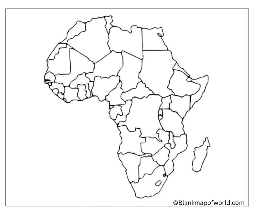

Blank Map of Africa – Outlines

An outline map of Africa is a simplified representation of the continent, showing only the borders and shapes of countries without any marks, and is commonly used as an educational tool to help students learn and identify African nations, capitals, rivers, and regions through coloring exercises.
This type of map prescribes geographic knowledge by making users interact with what they are learning about. It is ideal for quizzes, classroom activities, and home-study materials. Also, the landform map provides an understanding of Africa’s political boundaries and its extensive variety in physical features.