![Blank Map of World [Free Printable Maps]](https://blankmapofworld.com/wp-content/webp-express/webp-images/uploads/2025/05/blank-map-logo-1.png.webp)
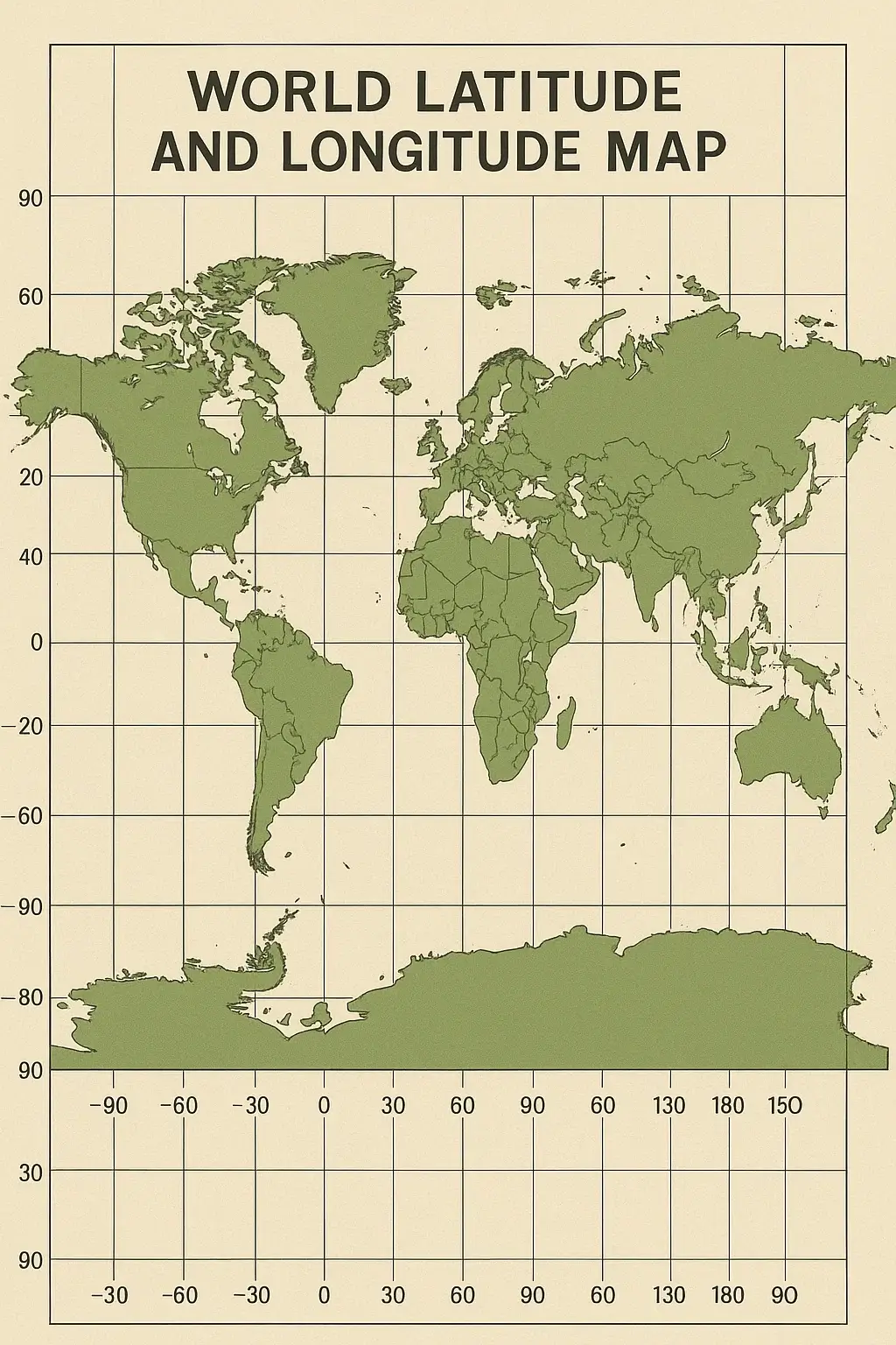
The World Latitude and Longitude Map can be compared to a large grid covering the entire Earth that assists us in locating any part of the Earth precisely. Let us suppose that lines are running sideways around the earth, called latitude lines, which inform us how far north or south an object is on the line in the middle known as the Equator.
Related Post :
World Latitude and Longitude Map
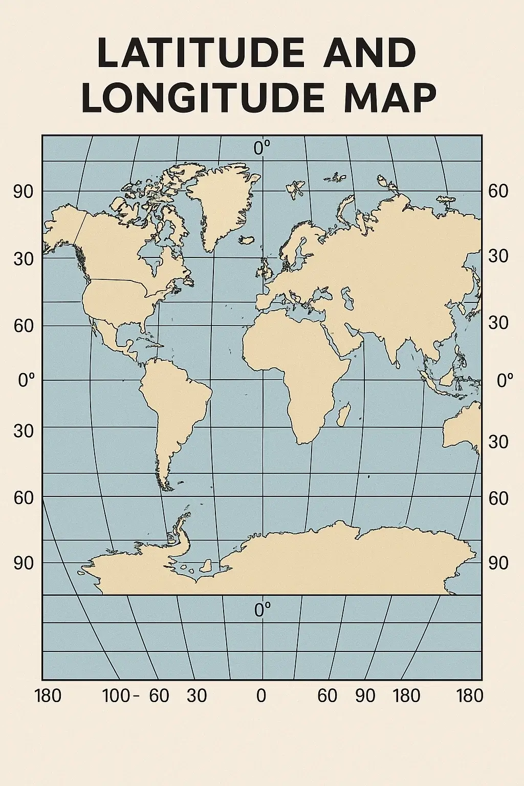
Next, lines are running lengthwise and widthwise, which are known as longitude lines, which tell us how far east or west a point is about a line known as the Prime Meridian that runs through a place called Greenwich in England. Combining these two sets of lines, we are able to get an address anywhere in the world, such as we do with a map.
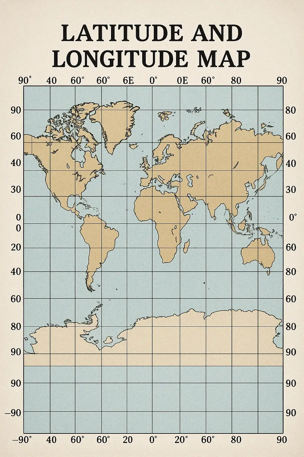
This system enables the ships, airplanes, and even GPS products to determine where they are and how they can reach a place. It also makes us know the distance between places, the time in various regions of the globe, and where weather changes occur. To conclude, we can say the latitude and longitude map is a mighty tool, even though it is not complex in structure. It only enables us to learn the world around us better.
World Map with Latitude
It helps people appreciate spatial relationships and understand global locations.

Latitudes and longitudes are a geographical tool that we use to show flat projections. They can be used to find any spot on Earth using a system of coordinates. Latitude lines run across, indicating how far north or south you are from the Equator; longitude lines run up and down, representing distance east or west of the Prime Meridian.

World Map with Longitude
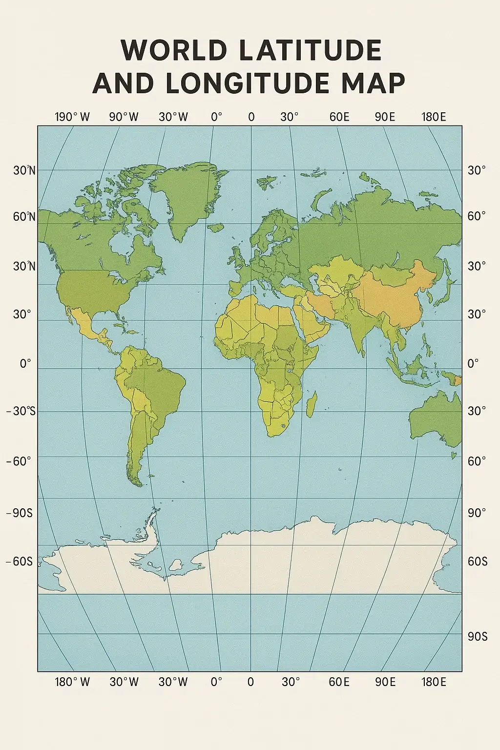
Working together, these lines form a worldwide grid that serves every point on Earth covered by land or sea. It has come into general use in navigation, GPS location, map-making, and instruction. Using coordinates, a user can find cities, landmarks, remote places–an exact location. Latitude and longitude maps are a vital aid to comprehending global location and relative spatial relationships in a world of seven continents and six oceans.

World Map with Longitude and Latitude Degrees Coordinates

A world map with longitude and latitude degree coordinates is a wide representation of the Earth, which reflects the network of imaginary lines used for geographical location. The circumference of the Equator is approximately 24,901 miles (40,075 km). Latitude lines, running horizontally, measure the distance to the north or south of the equator, while the longitude lines are moving vertically, measuring the distance east or west of the prime meridian.

This map is essential for navigation, scientific research, and geographical studies. Using coordinates helps to detect accurate positions anywhere on Earth. It is widely used in cartography, aviation, and maritime travel. Such maps often include degree marks, which are useful for understanding their global time regions and climatic regions.
\

Latitude and Longitude Map – Outline

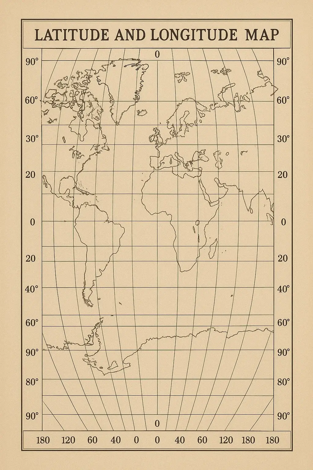
A Latitude and Longitude map in outline is just this: a simplified map, one that only displays those coordinates used to determine location on the Earth. Running from left to right are the lines of latitude (parallels), while north-south lines represent meridians, which trace our progress along the Earth.

This type of map is often used in an educational setting to help train students how to read the location and locate coordinates on a globe.
It is important because with such a map, people can grasp how blocks and hemispheres come together, as well as their relationship with time zones. By working across an outline map, pupils develop necessary geographical skills – interpreting global grids, sketching out continents and positions of places based on numerical co-ordinates.

World map with the Equator and the Prime Meridian

A world map with the equator and the head meridian highlights two important reference lines used in geography. The equator is a fictional horizontal line that divides the Earth into the northern and southern hemispheres, which runs at 0 ° latitude. It represents the broader part of the Earth and is important to understand climatic regions.

On the other hand, the prime meridian is a vertical line at 0 ° longitude, which divides the Earth into the eastern and western hemispheres. This map is valuable for navigation, calculation of global time field, and understanding geographical locations, which helps students and passengers to learn the Earth’s status system easily.
FAQs
1. What is the difference between latitude and longitude?
Latitude lines run horizontally and measure distance north or south of the Equator, while longitude lines run vertically and measure distance east or west of the Prime Meridian.
2. How do you read latitude and longitude coordinates?
Coordinates are always written as latitude first, then longitude (e.g., 28.6° N, 77.2° E), using either decimal degrees or the degrees-minutes-seconds (DMS) format.
3. What is located at 0° latitude and 0° longitude?
This point, found in the Atlantic Ocean off the coast of West Africa, is informally called “Null Island” and serves as the origin point of the geographic coordinate system.
4. How many lines of latitude and longitude are there?
There are 180 lines of latitude (90 north and 90 south of the Equator) and 360 lines of longitude (180 east and 180 west of the Prime Meridian).
5. Why is Greenwich used as the Prime Meridian?
Greenwich was chosen as the 0° longitude reference point at the 1884 International Meridian Conference because the Royal Observatory there was already a widely used navigational standard among major shipping nations.