Related Post:
- Political Map of Europe
- Africa Political Map
- Political Map of Antarctica
- Asia Political Map
- Political Map of North America
- World Political Map
Free World Satellite Map
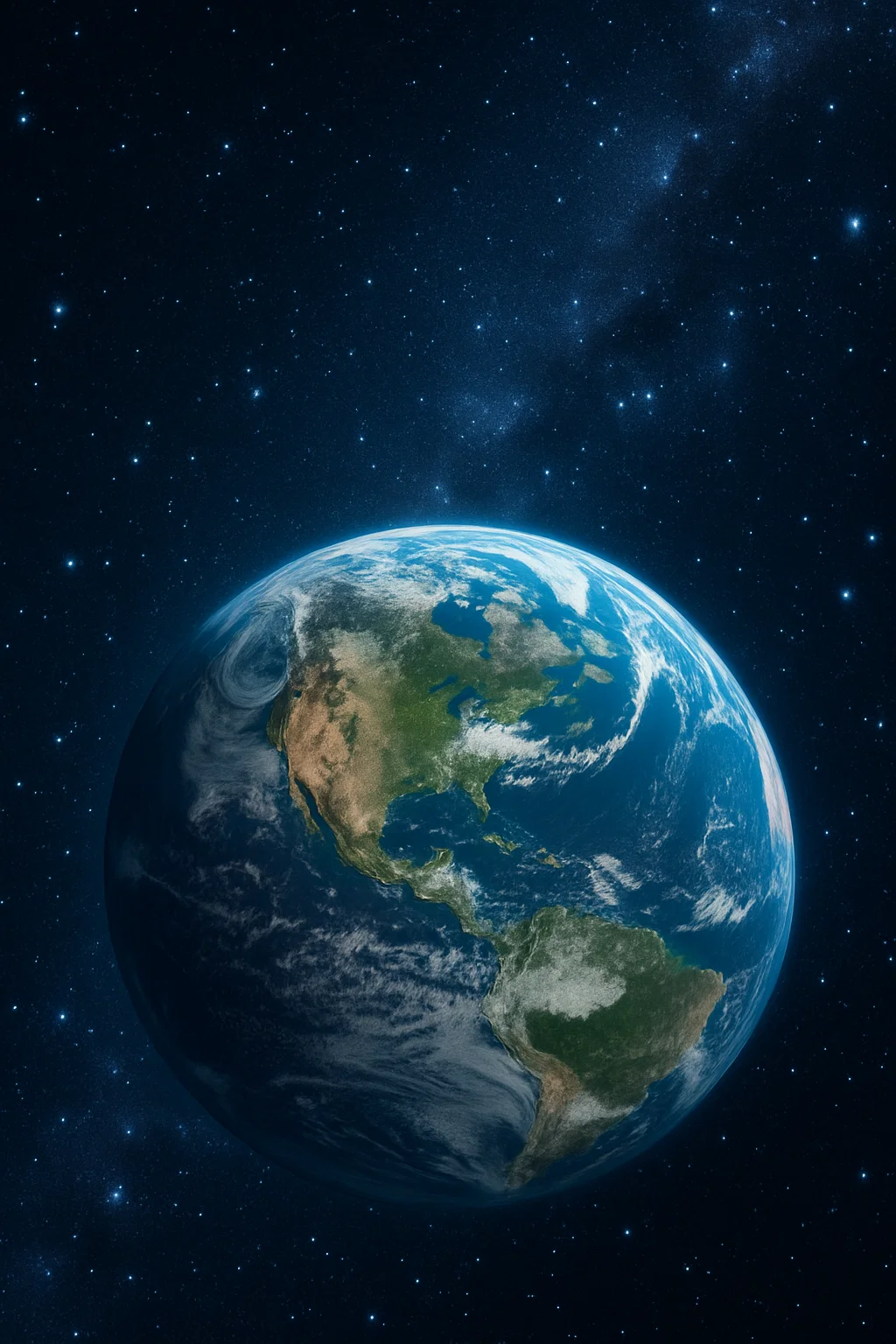
You get a chance to see an overview of the Earth at a great height. Such maps are useful in a number of ways.
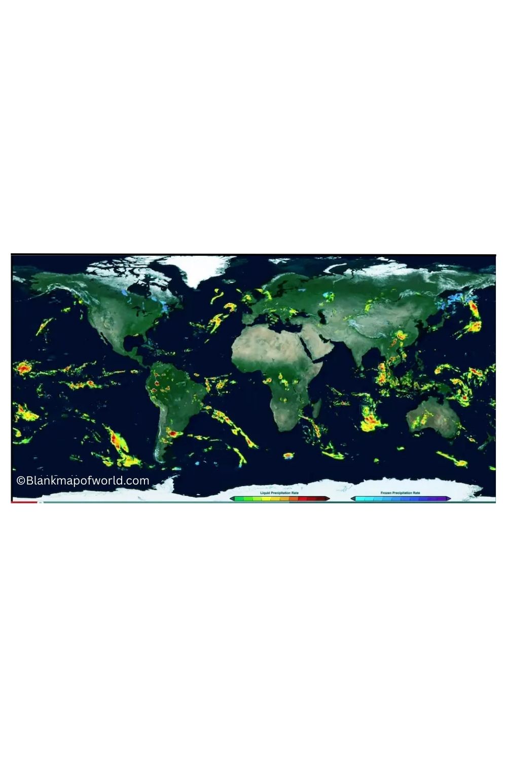
They are utilized to monitor the weather, disasters such as storms or fires, and they are used to monitor land changes by scientists.
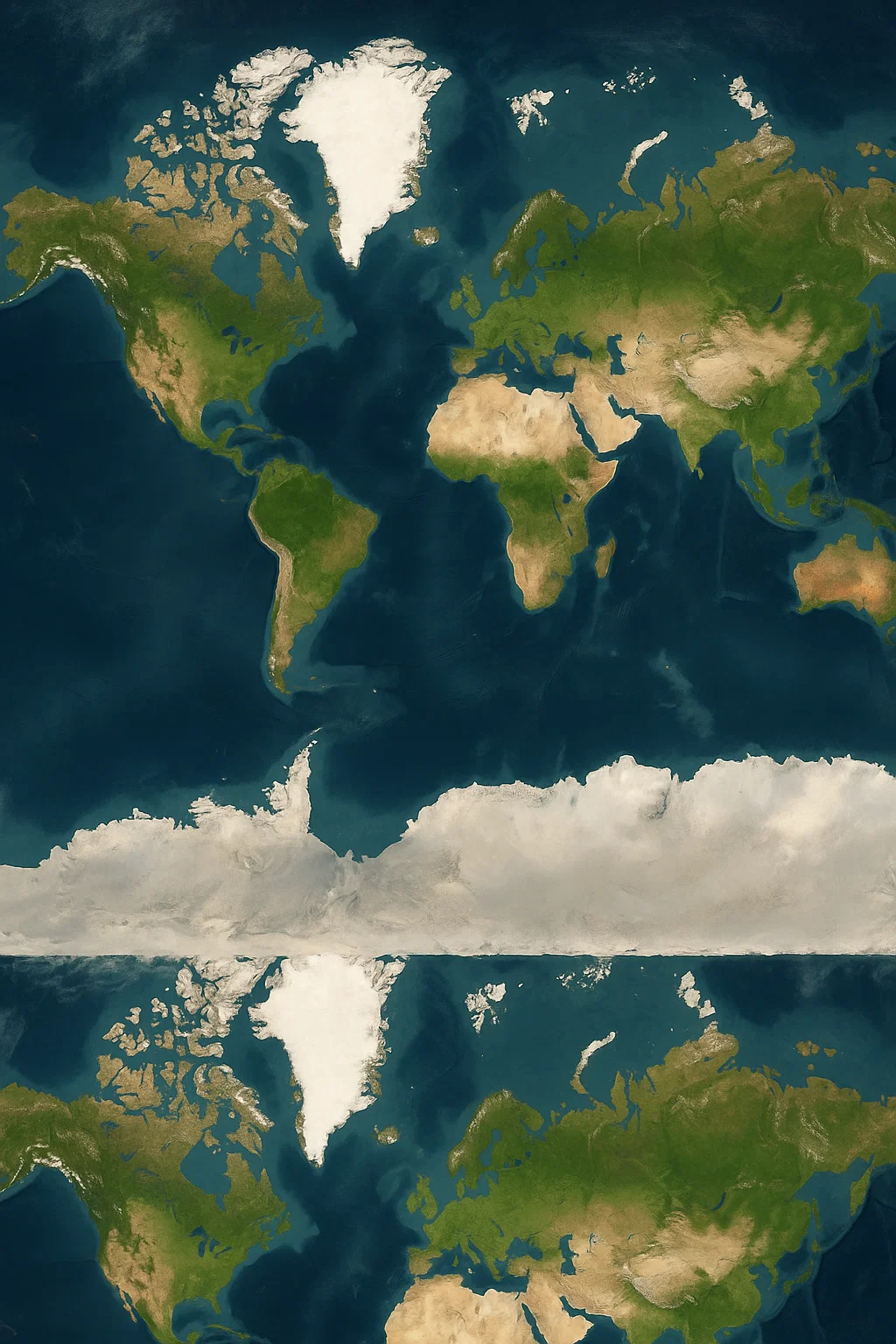
Satellite maps are intended to plan cities and be used in times of emergencies by governments.
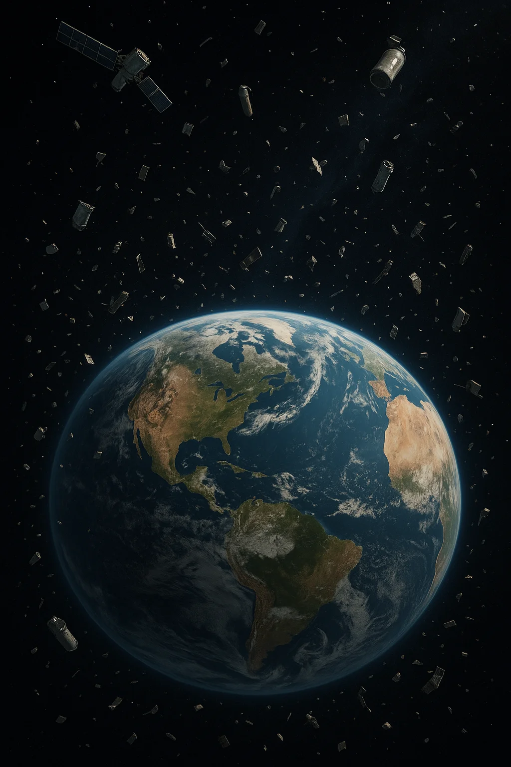
They are being used by people in general to locate a location or to plan a journey as well. Since satellites update their images in pictures regularly, these maps can be highly current.
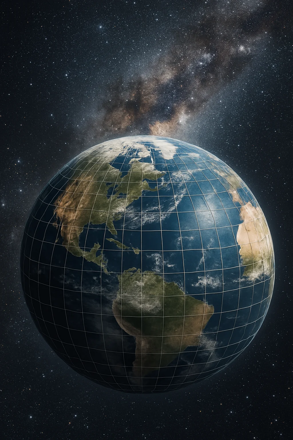
Sometimes additional information such as weather or height of the land can be placed over the pictures. In general, satellite maps present a true and practical picture of the entire world into space, which helps us know more about this world and how the world is transforming.
Printable World Satellite Map PDF
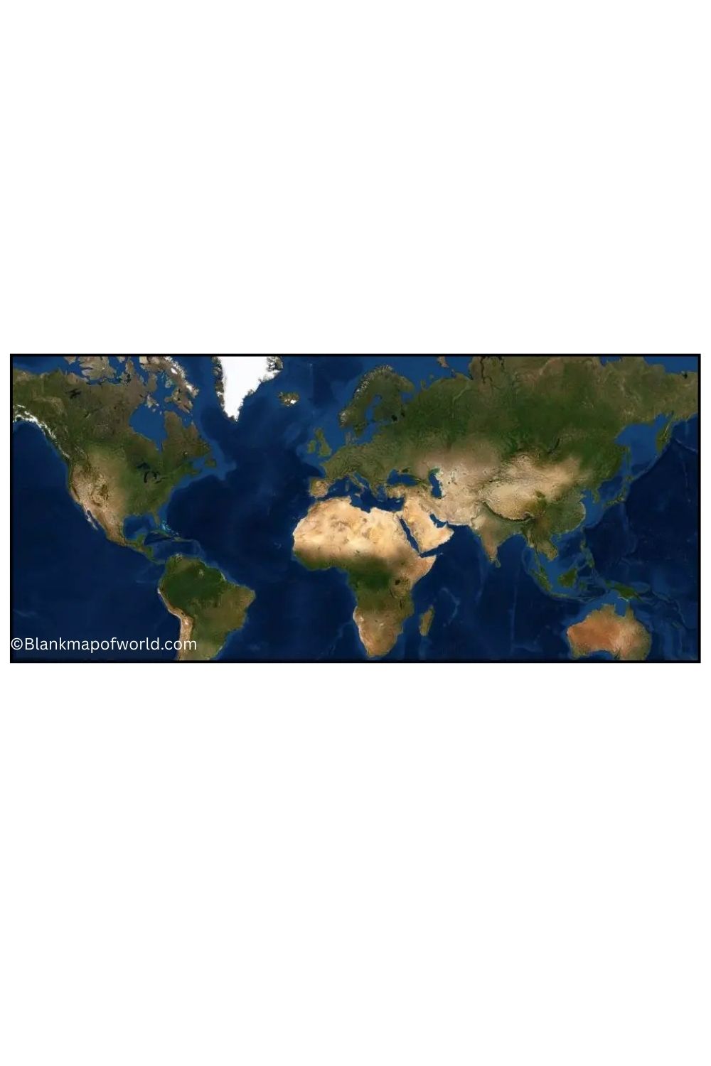
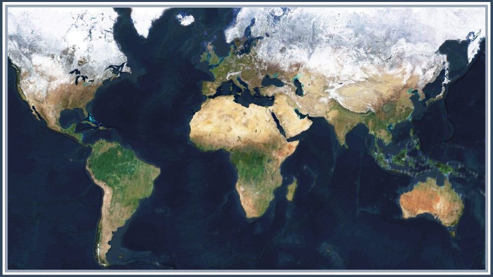
The World Satellite Map worksheet uses broad-scale, high-resolution satellite imagery to paint a comprehensive picture of Earth from space. Now in Map form, you’ll see continents as well as countries and major cities on this overview of the world. Users can interact with the map to obtain a very detailed look at our planet.
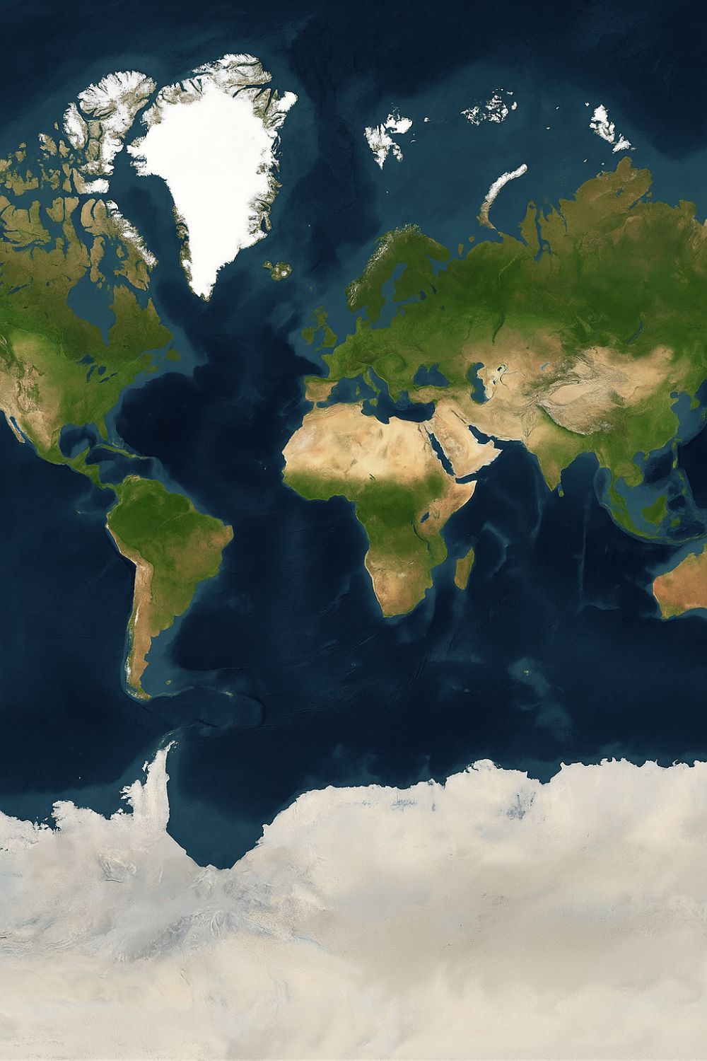
Useful for both research and educational contexts: parts of the map, such as North Africa and Central Asia, are especially helpful for studying climate features (e.g., where there’s more desert than anywhere on earth) and human impact on natural resources.
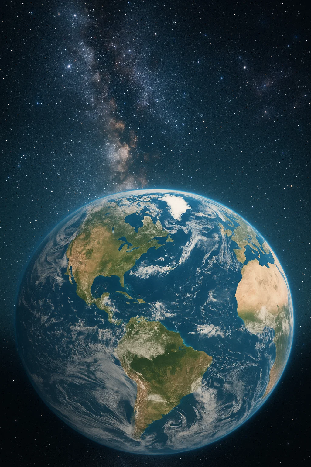
It also provides an excellent way to investigate more distant and remote locations, to track natural disasters in progress, or just to watch the changes that our use of land means for its meaning over time. By offering a dynamic and accurate satellite-based depiction of the Earth, this worksheet raises awareness and understanding on a global level.
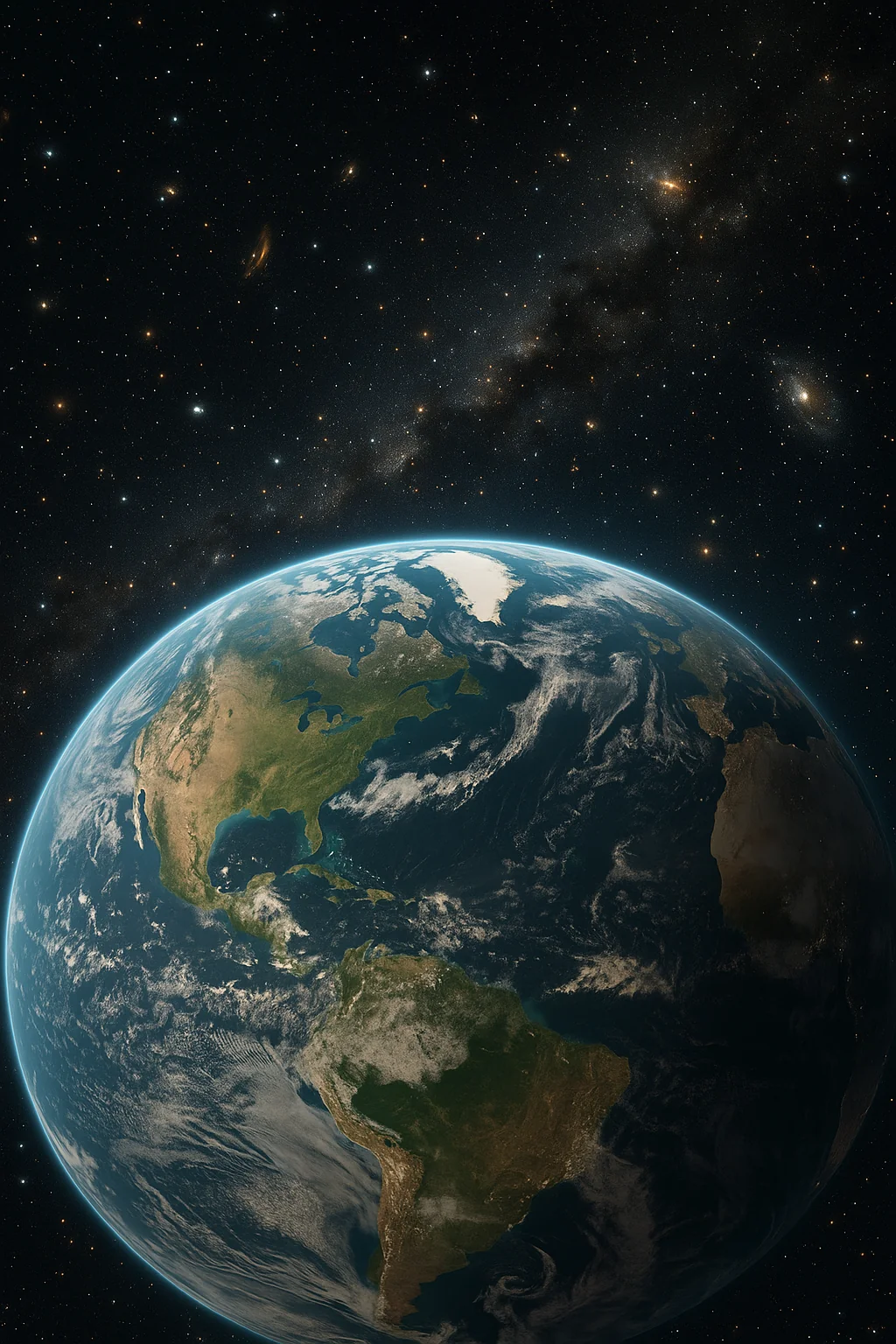
World Satellite Map With Continents
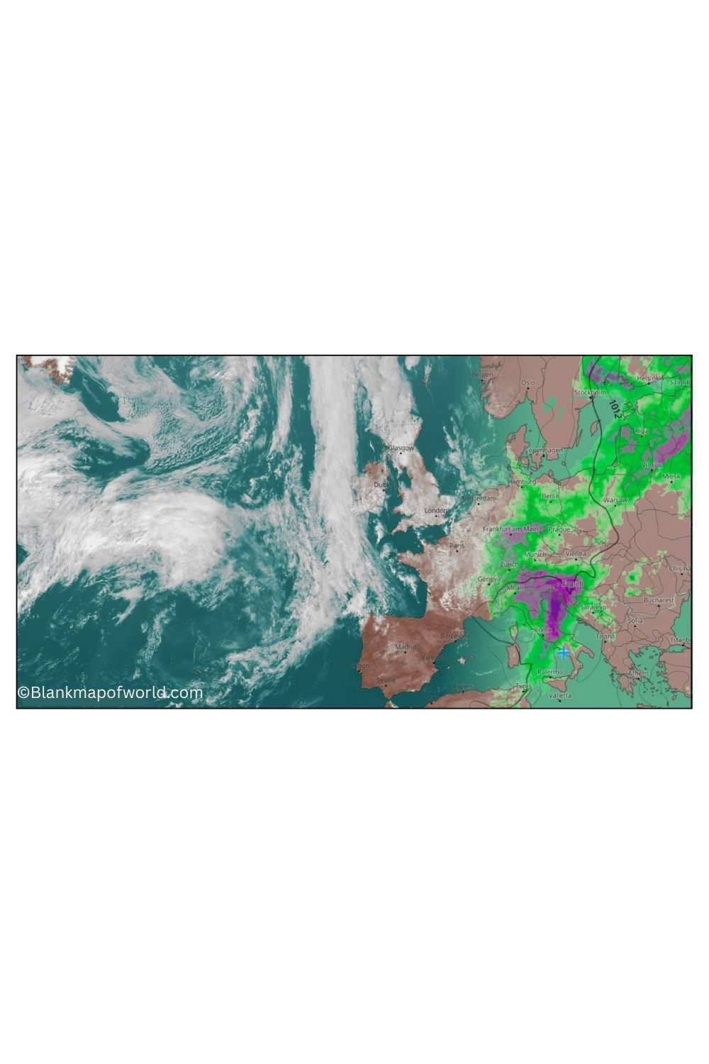
Outline World Satellite Map is a simplified and boundary-focused view of the Earth. Features include country and continent borders. It differs from full-color satellite maps in that this version shows outlines, which makes it suitable for educational and analytical appraisals.
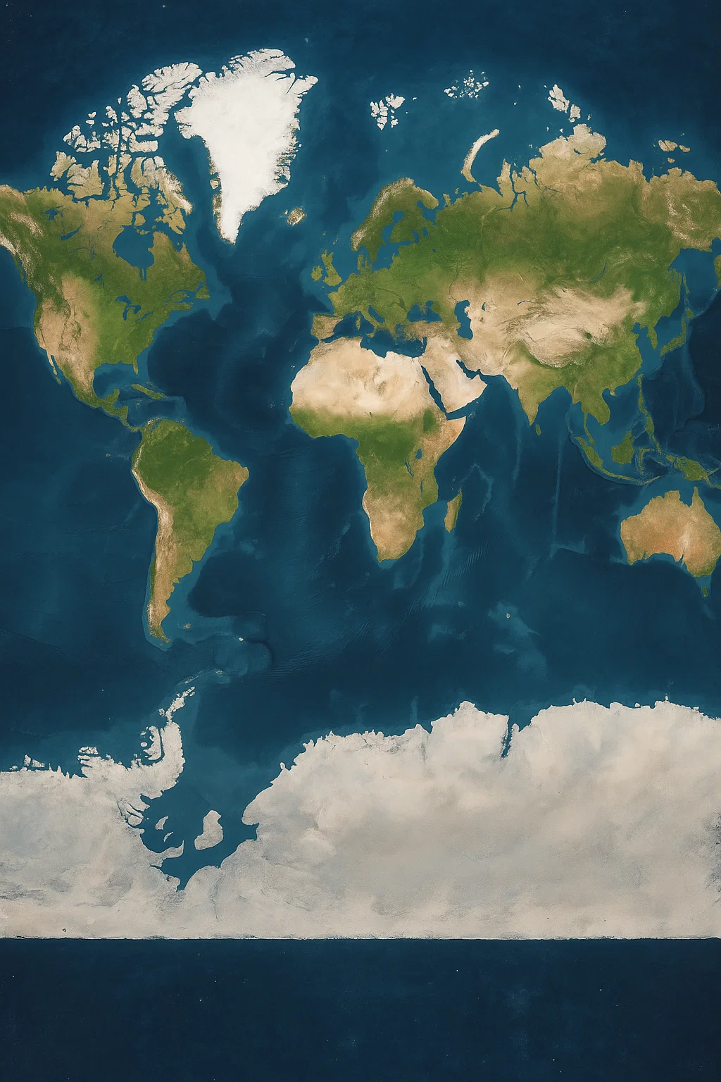
Students can easily learn the world’s geography, and distinguish continents, countries, relationships between them. For these activities, the map is significant. Its simple, minimalist design presents a clear view of all the world’s borders. Earth’s geography is given in this way to learners and professionals as easy reading without detailed particulars that cannot be understood.
World Satellite Map With Cities
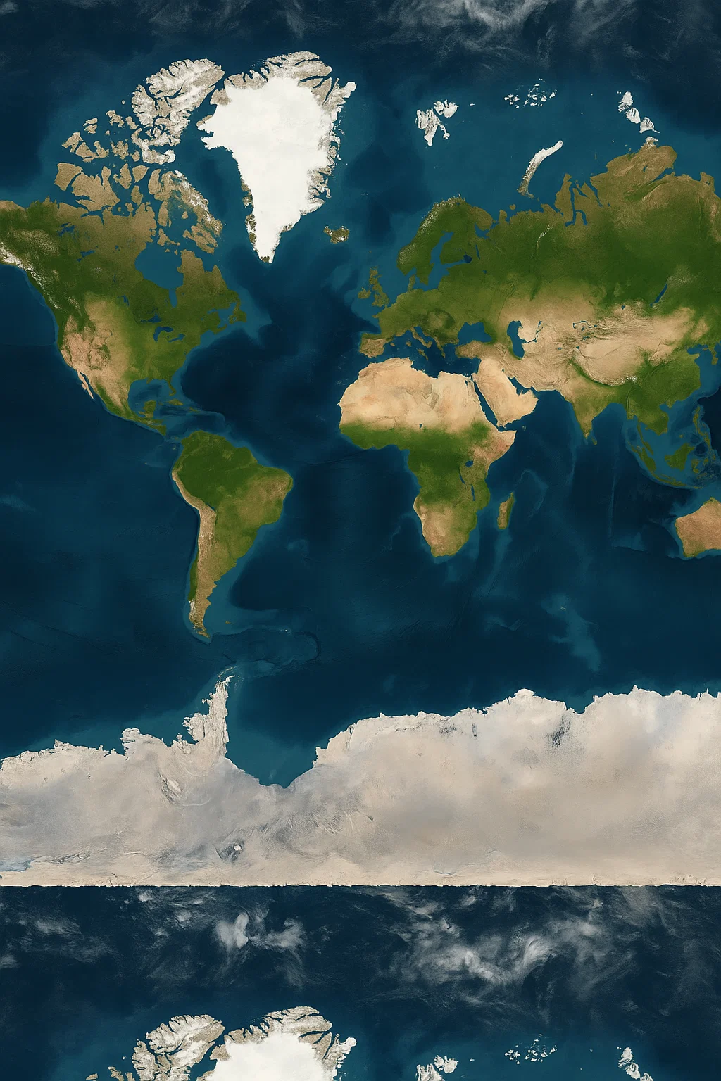
A world satellite map with cities offers a detailed view of the Earth’s surface, utilizing high-resolution satellite imagery that is overlaid with major cities and urban centers. It offers a realistic portrayal of the birds found on the continents, oceans, forests, deserts, and mountain ranges, providing both visual and geographical information.
This type of map helps users understand the relationship between the natural landscape and human settlements. It is ideal for educational use, travel planning, or geographical exploration, which offers a unique combination of visual aesthetic and factual city placements worldwide.
![Blank Map of World [Free Printable Maps]](https://blankmapofworld.com/wp-content/uploads/2025/05/blank-map-logo-1.png)
