A Political Map of Africa is like a large drawing that shows all countries in Africa and where they have boundaries. This tells us which part of the land belongs to which country. There are 54 countries in Africa, and each has its name, capital city, and government. For example, Nigeria, Egypt, and South Africa are some countries that you will see on the map. The map also marks capital cities such as important cities, especially Abuja (Nigeria), Cairo (Egypt), and Nairobi (Kenya).
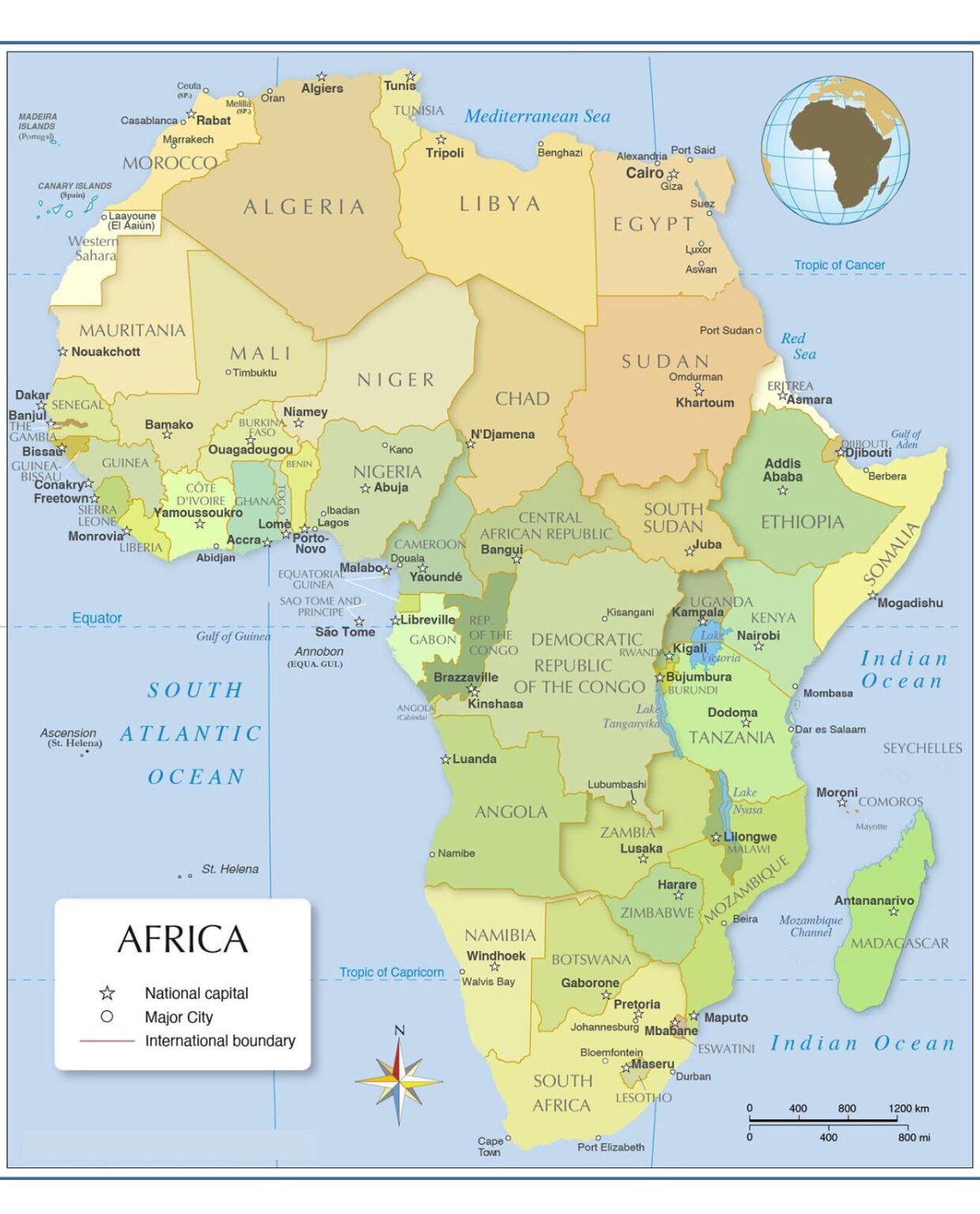
Unlike a physical map, which shows mountains or rivers, a political map only shows the name, boundaries, and cities of the country. It is helpful to learn where the countries are located and who their neighbors are. This map is useful for students, teachers, passengers, and anyone who wants to learn about Africa simply. In short, it is a map that indicates how people have divided the land in Africa.
Related Post:
- Political Map of Europe
- Political Map of Antarctica
- Asia Political Map
- Political Map of North America
- World Political Map
Free Africa Political Map
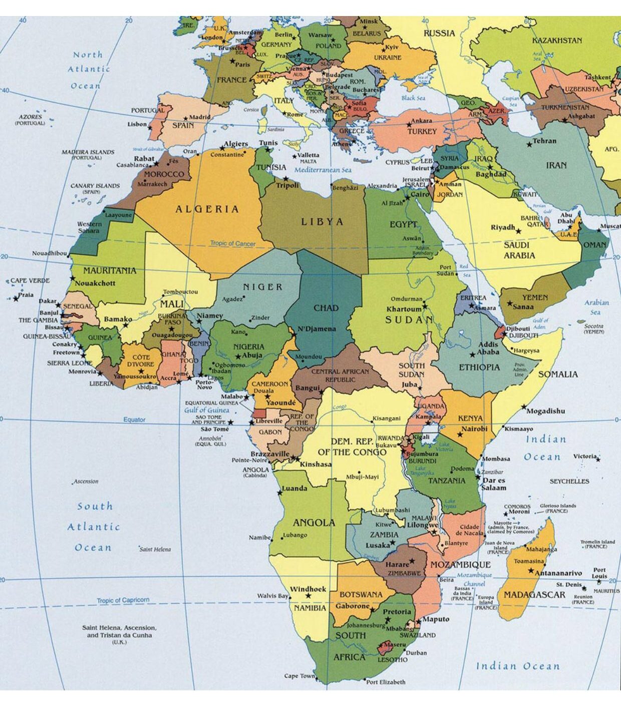
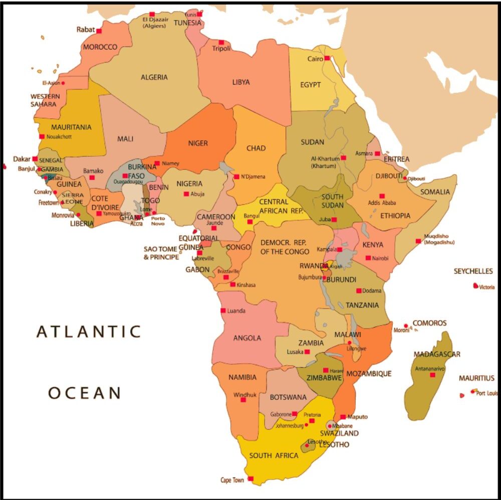
Printable Africa Political Map
A printable Africa political map is a simple map that shows all countries in Africa. It uses different colors and lines to show where one country ends and the other starts. You can also see the names of countries and their capital cities. This map is helpful for school, learning, or even to know where the country is in Africa. Since it is printable, you can easily take a copy, color it, or use it for your homework or projects.
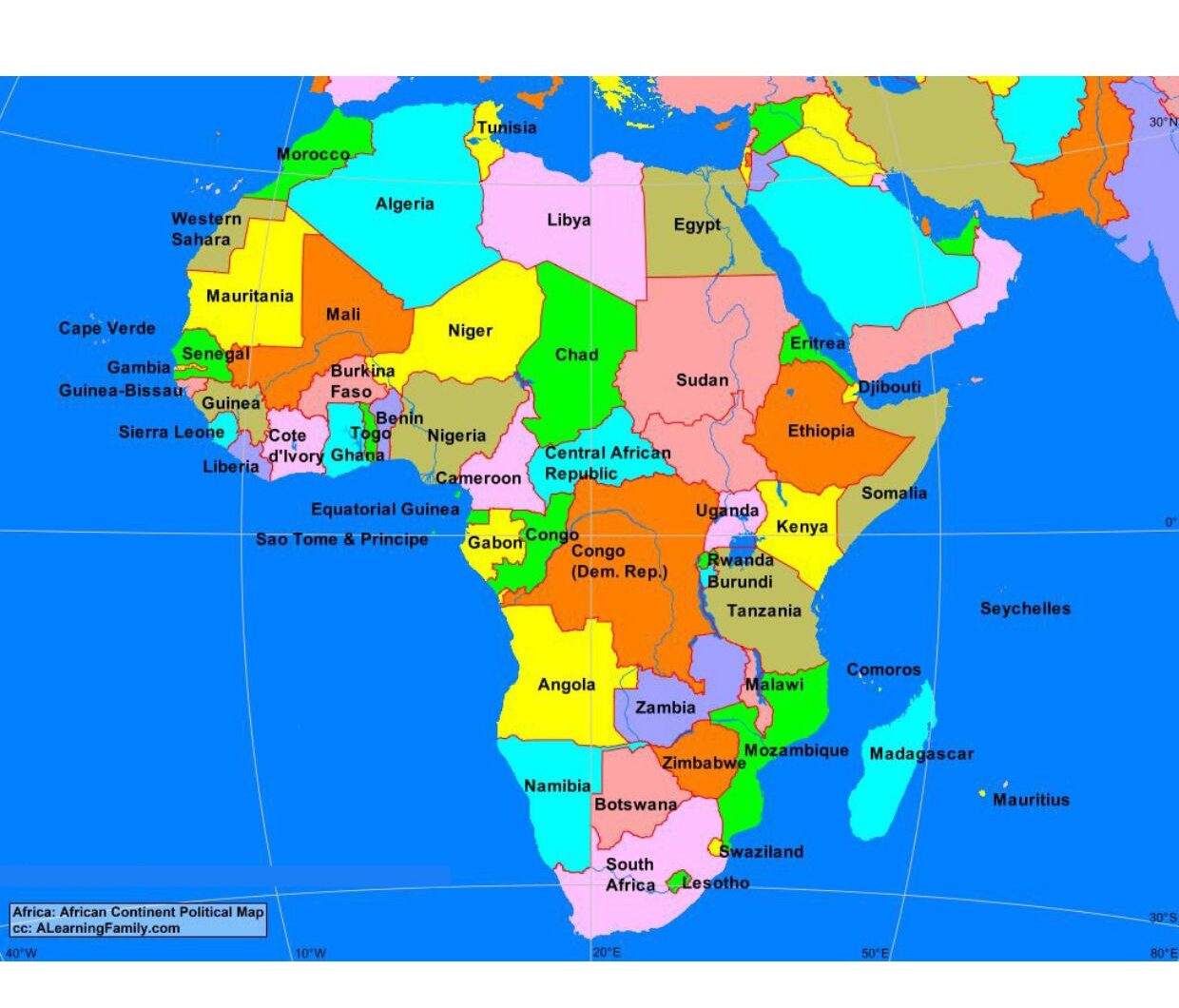
Map of Africa Political Labeled
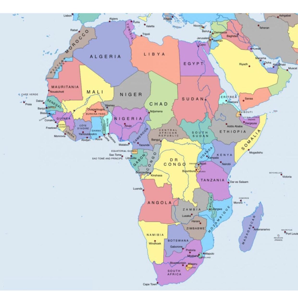
A political map of Africa is a simple map that shows all the countries of Africa with their names. It also shows the boundaries between countries, so you can easily see where one country ends and the other starts. The capital cities are also marked, and sometimes shown to large rivers or mountains. Each country is of a different color to separate different ways. Such a map helps people understand where the African countries are and what they are called.
![Blank Map of World [Free Printable Maps]](https://blankmapofworld.com/wp-content/uploads/2025/05/blank-map-logo-1.png)