The Andorra blank map is an invaluable tool for both study and demonstration. Andorra is a small nation, covering about 468 square kilometers. Despite its size, Andorra is world-famous for its beautiful scenery, winter ski resorts, and its political system as a joint Principality. A blank canvas for all kinds of uses, a blank map of Andorra shows only the national boundaries without any printing or annotation listed on it.
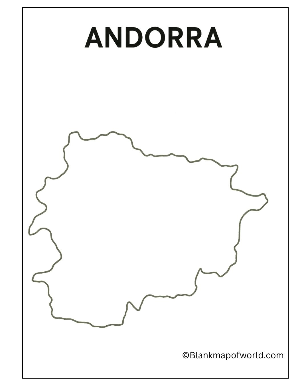
Free Blank Map of Andorra
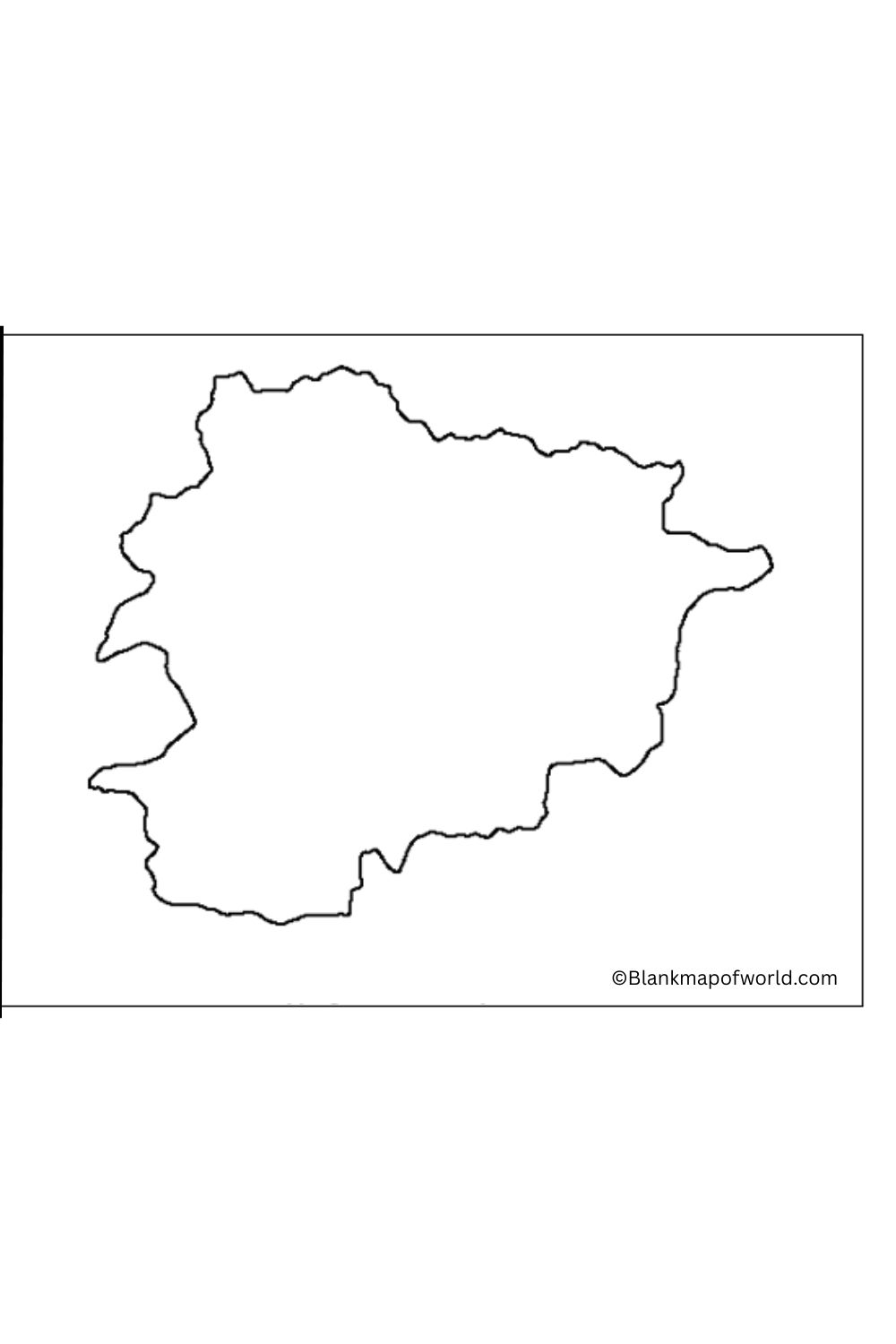
This type of map is especially useful for students and educators, but also for researchers who want to explore what people know about a given topic or perform their spatial analysis. It’s using the classroom to teach the location of Andorra in Europe, political boundaries, or its adjacent lands. It offers a way of looking at various divisions inside Andorra, such as its parishes, into which relevant information can be integrated whenever desirable.
| Parish | Area (km²) | Population (2023) | Population Density (per km²) | ||||
|---|---|---|---|---|---|---|---|
| Andorra la Vella | 27 | 24,042 | 890.4 | ||||
| Canillo | 121 | 5,781 | 47.8 | ||||
| Encamp | 74 | 12,826 | 173.3 | ||||
| Escaldes-Engordany | 32 | 15,506 | 484.6 | ||||
| La Massana | 61 | 11,591 | 190.0 | ||||
| Ordino | 89 | 5,440 | 61.1 | ||||
| Sant Julià de Lòria | 60 | 9,915 | 165.3 |
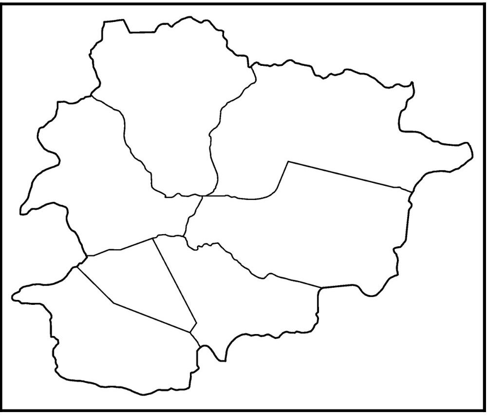
Andorra, a small country lying in the eastern Pyrenees mountains between France and Spain and surrounded by land on all sides, is famed for its natural scenic beauty. With an area of only 468 square kilometers, it ranks as one of Europe’s least populous regions. Despite its small acreage, Andorra has a rich cultural heritage, a widespread tourism industry, especially for skiing and hiking vacations, and an excellent standard of living.
Printable Map of Andorra – worksheet
This worksheet has a blank map of Andorra together with a detailed table giving its seven administrative parishes. Each entry presents the parish name, area in square kilometers, the estimated number of inhabitants in 2023, and population density. Intended both for educational uses and as a tool for people interested in geography, this worksheet can help us understand Andorra’s regional divisions, the geographical distribution of population, and overall spatial configuration.
Students can use it to learn the names and positions of parishes, conduct population surveys, or for map-based tests. The clear format lends itself to visual learning as well as inviting users to uncover for themselves the unique geography of Andorra. Suitable for classroom teaching, scientific analysis, or personal study purposes, this is an invaluable aid to understanding what Andorra is all about in Europe.
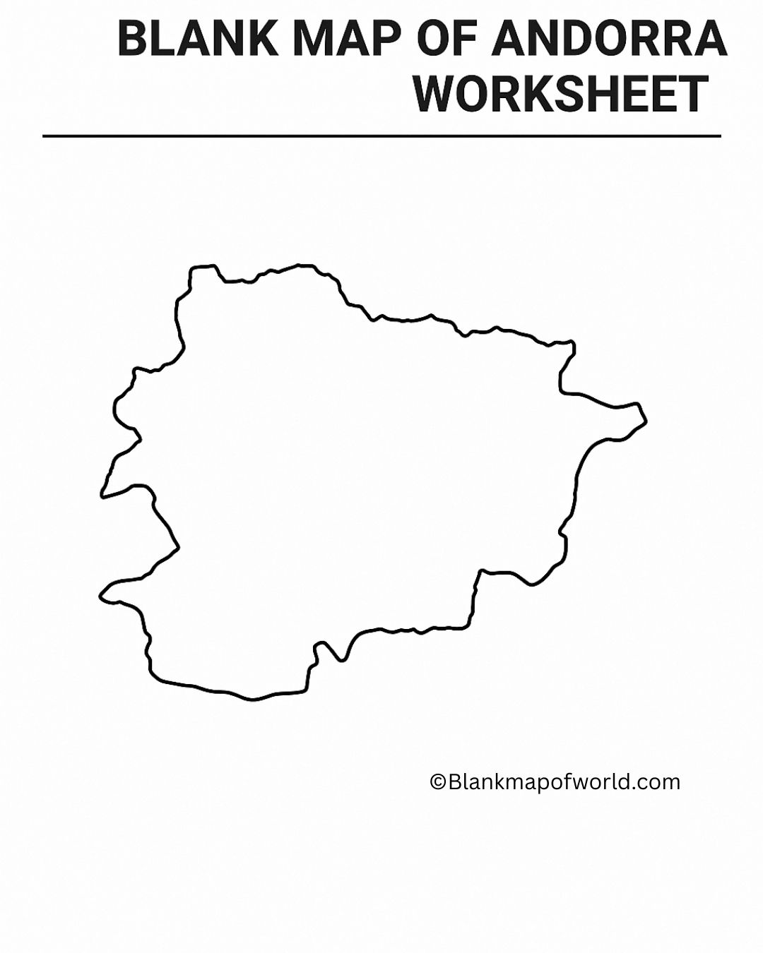
Outline Andorra Map
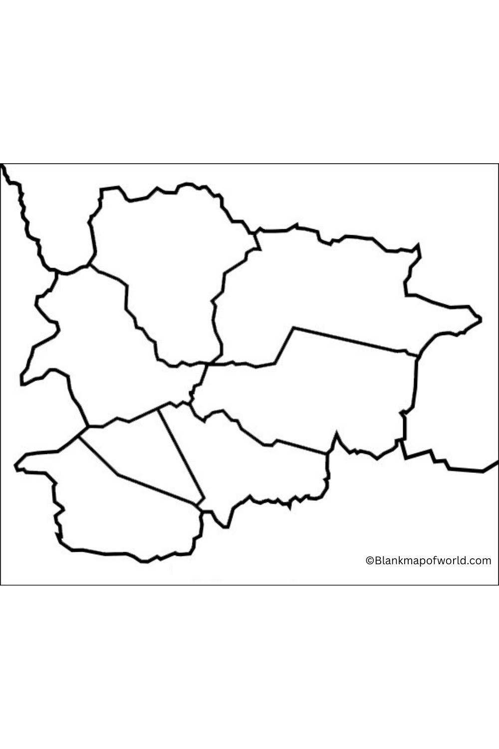
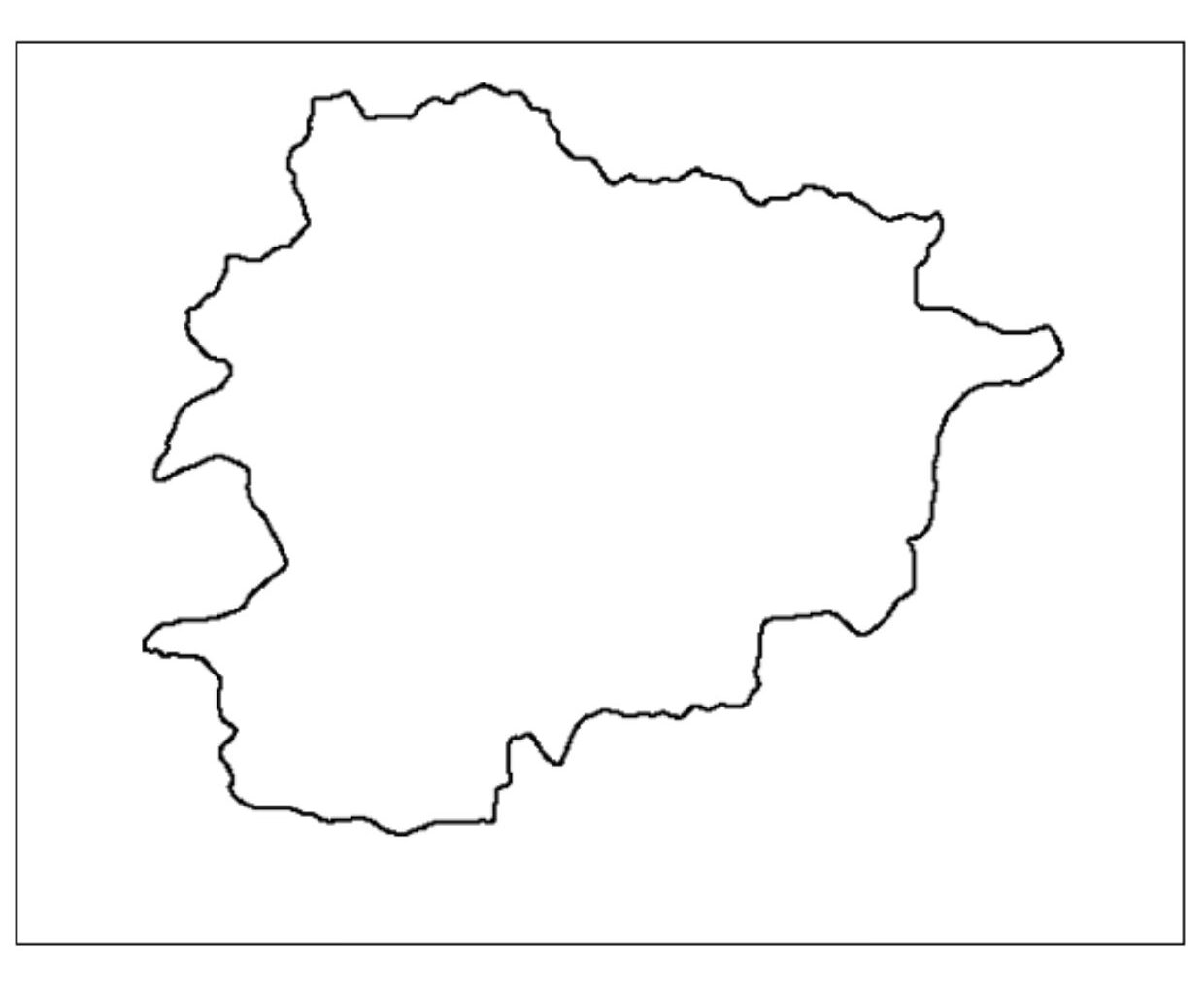
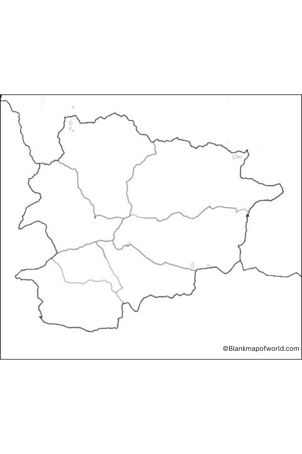
Transparent Andorra Map

Due to its size and the mountains, Anothatrsurrounde it countcountry’s seems to be slightly uneven and compact. Suca map is commonly seen in the world to simply grasp the location of Andorra on the globe. It gives a view of its position and size around the surrounding countries.
The Transparent Andorra Map provides a clear, detailed view of the small principality located in the Pyrenees between France and Spain. It highlights major geographical characteristics, including major cities such as the Mountain Range, valleys, and Andora La Vela. The transparency of the map allows users to overlay it on other maps or images for better navigation and planning.
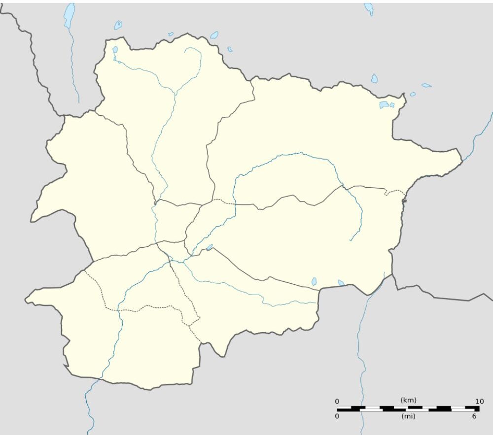
It is useful for tourists, hikers, and travelers looking for an unpublished scene about Andorra’s territory, infrastructure, and natural landscapes, enhancing their exploration experience.
![Blank Map of World [Free Printable Maps]](https://blankmapofworld.com/wp-content/uploads/2025/05/blank-map-logo-1.png)