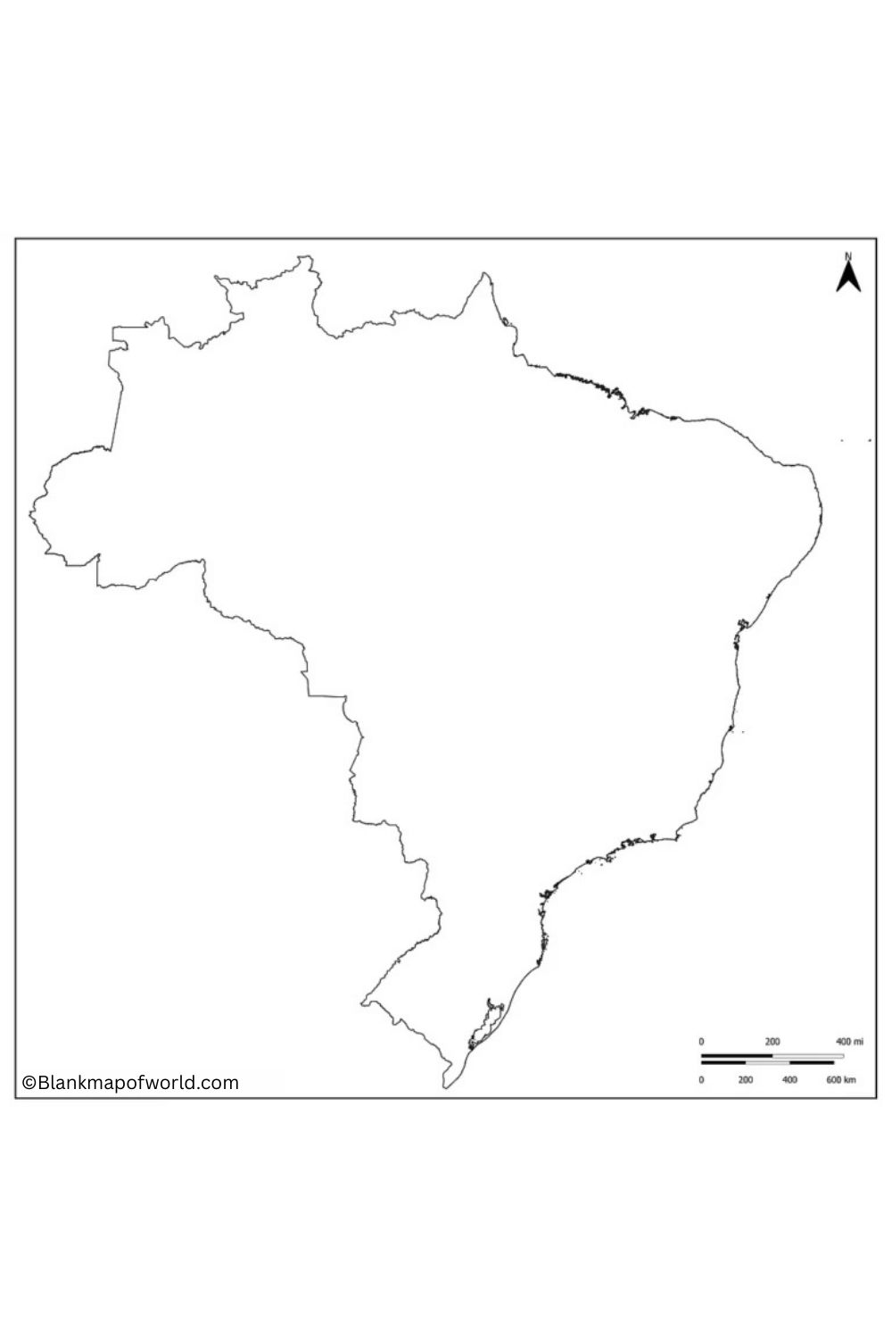
A Blank Map of Brazil is a versatile educational tool that can serve anyone who wants to explore one of the largest and most diverse countries in the world. South America is home to Brazil, which, with a population of around 192,000,000 and a land surface of 852,000 mi²,2 ranks as the world’s fifth-largest and fifth-most populous country.
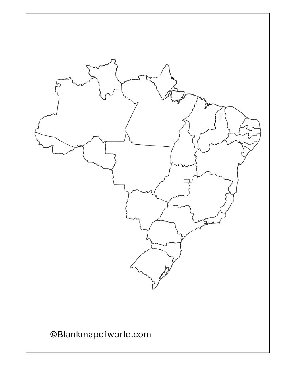
With its long coastline along the Atlantic and topography including the Amazon rainforest, Pantanal wetlands, and mountains, Brazil has borders with as many as 10 different countries. A map without any text or other markings at all permits the student, scholar, or enthusiast to touch, move, or build with the geography of Brazil in their hands.
Free Blank Map of Brazil
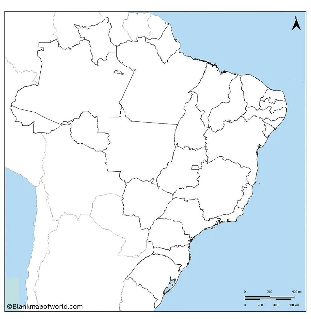
Using such a map makes it possible to learn about Brazil’s 26 states and one federal district, flagship cities like Sao Paulo, lo but also Rio de Janeiro, Brasilia, a great country in its own right with all its physical features such as rivers and mountain ranges. Teachers frequently use blank maps in quizzes or projects as an aid to students to locate and label parts of their country.
It is also an excellent place from which to begin planning your journeys, getting deeply into local cultures with their quirks and centuries-old traditions, and grasping data on economics or the environment. No matter whether employed in school classrooms, higher education settings, or for someone’s appreciation, a blank map of Brazil provides a valuable opportunity to gain deeper knowledge and appreciation for this vast, sublime country.
| State/Federal District | Capital | Estimated Population (2024) | Region | |
|---|---|---|---|---|
| Acre | Rio Branco | 830,000 | North | |
| Alagoas | Maceio | 3,370,000 | Northeast | |
| Amapá | Macapa | 920,000 | North | |
| Amazonas | Manaus | 4,550,000 | North | |
| Bahia | Salvador | 15,310,000 | Northeast | |
| Ceará | Fortaleza | 9,430,000 | Northeast | |
| Espírito Santo | Vitória | 4,160,000 | Southeast | |
| Goiás | Goiânia | 7,450,000 | Central-West | |
| Maranhão | São Luis | 7,210,000 | Northeast | |
| Mato Grosso | Cuiaba | 3,800,000 | Central-West | |
| Mato Grosso do Sul | Campo Grande | 2,940,000 | Central-West | |
| Minas Gerais | Belo Horizonte | 21,410,000 | Southeast | |
| Pará | Belem | 9,060,000 | North | |
| Paraíba | João Pessoa | 4,150,000 | Northeast | |
| Paraná | Curitiba | 11,950,000 | South | |
| Pernambuco | Recife | 9,690,000 | Northeast | |
| Piauí | Teresina | 3,350,000 | Northeast | |
| Rio de Janeiro | Rio de Janeiro | 16,490,000 | Southeast | |
| Rio Grande do Norte | Natal | 3,570,000 | Northeast | |
| Rio Grande do Sul | Porto Alegre | 11,460,000 | South | |
| Rondônia | Porto Velho | 1,850,000 | North | |
| Roraima | Boa Vista | 720,000 | North | |
| Santa Catarina | Florianopolis | 7,730,000 | South | |
| São Paulo | Sao Paulo | 46,040,000 | Southeast | |
| Sergipe | Aracaju | 2,350,000 | Northeast | |
| Tocantins | Palmas | 1,620,000 | North | |
| Federal District | Brasília | 3,150,000 | Central-West |
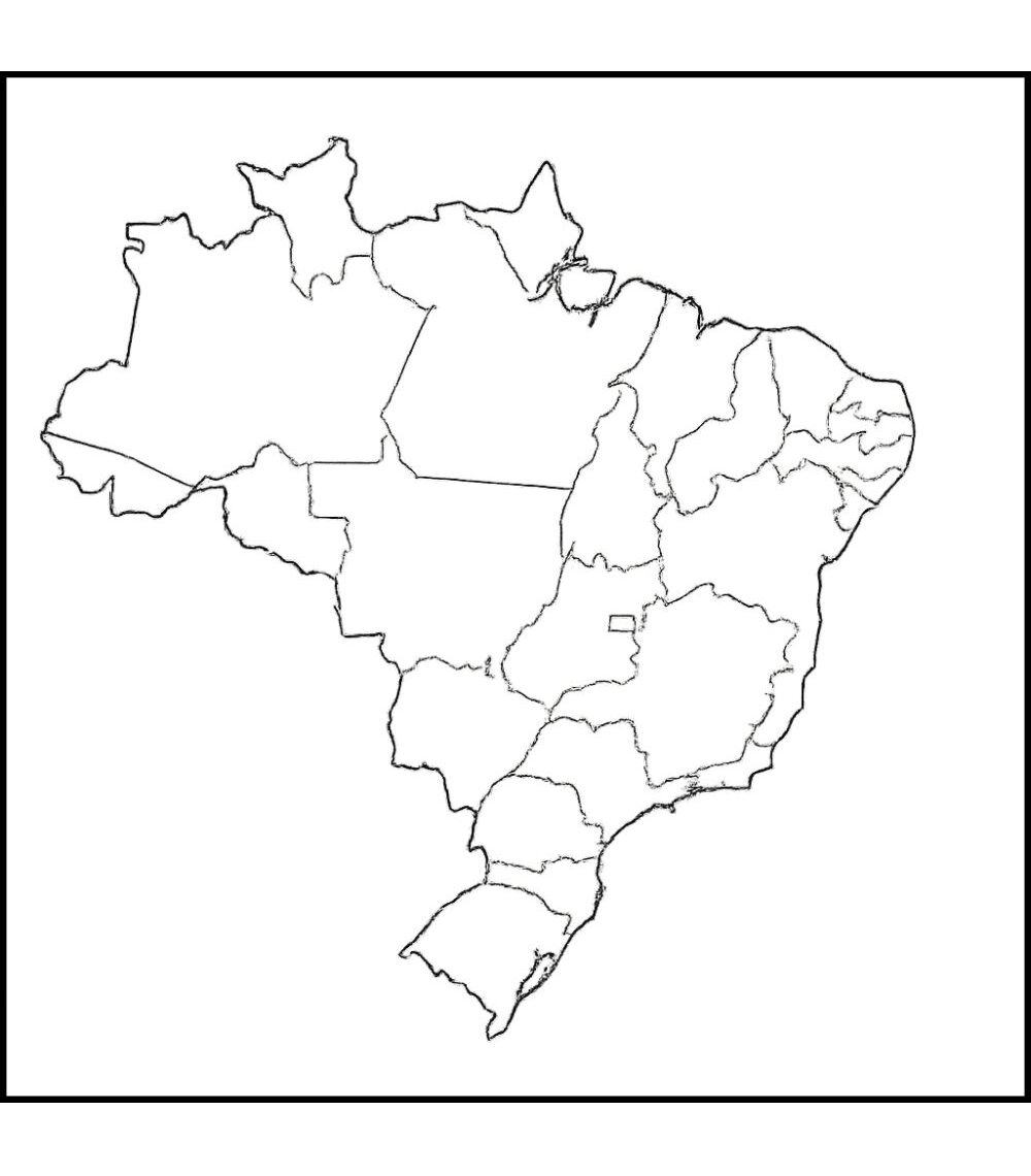
A blank Brazilian map is a simple yet powerful way to understand South America’s largest country by geography. Brazil is a country of vast territory that includes the Amazon rainforest, coastal cities, and many different landscapes. With no labels, a blank map allows users to identify and learn about Brazil’s 26 states, the Federal District, major rivers, and key cities. Its classroom use is mostly for geography studies or quizzes, and even school projects.
Where is Brazil on a World Map?
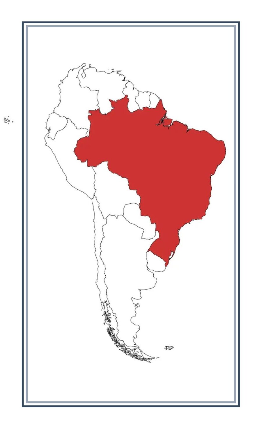
Brazil is located in South America, occupying a vast area in the eastern part of the continent. It is the largest country in South America and the fifth largest in the world. On a world map, Brazil is mostly located in the Southern Hemisphere and partially in the Northern Hemisphere, as the equator crosses its northern region. The country is bound by every South American nation except Chile and Ecuador, with the Atlantic Ocean to the east. Its strategic place makes Brazil an important part of the global map, known for its Amazon rainforest, rivers, and diverse climatic regions.
Blank Map of Brazil with States Capital
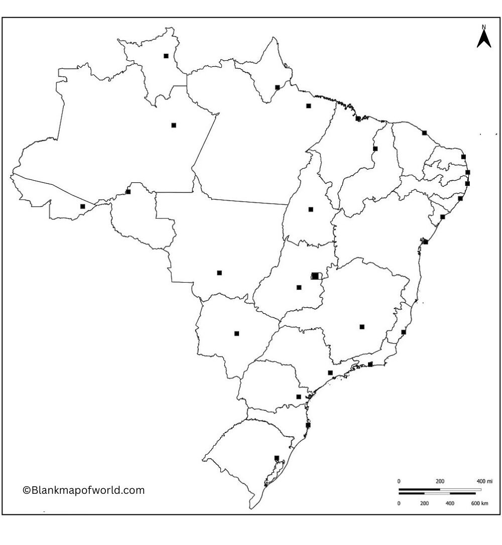
An empty map of Brazil with states is a useful educational and geographical tool that outlines the political divisions of the country without labels. This reflects the boundaries of all 26 states and federal districts, allowing students, researchers, and travelers to identify or practice each field.
Such maps are excellent for learning about quizzes, color activities, and the geography of Brazil, from the Amazon Rainforest in Amazonia to the beaches of Rio de Janeiro. Teachers often use these blank maps to help the learners remember the state names, capitals, and places. It is also helpful for planning travel routes or analyzing regional resources.
Here is the complete list of Brazil’s 26 states and the Federal District with their capitals:
-
Acre (AC) – Rio Branco
-
Alagoas (AL) – Maceió
-
Amapá (AP) – Macapá
-
Amazonas (AM) – Manaus
-
Bahia (BA) – Salvador
-
Ceará (CE) – Fortaleza
-
Espírito Santo (ES) – Vitória
-
Goiás (GO) – Goiânia
-
Maranhão (MA) – São Luís
-
Mato Grosso (MT) – Cuiabá
-
Mato Grosso do Sul (MS) – Campo Grande
-
Minas Gerais (MG) – Belo Horizonte
-
Pará (PA) – Belém
-
Paraíba (PB) – João Pessoa
-
Paraná (PR) – Curitiba
-
Pernambuco (PE) – Recife
-
Piauí (PI) – Teresina
-
Rio de Janeiro (RJ) – Rio de Janeiro
-
Rio Grande do Norte (RN) – Natal
-
Rio Grande do Sul (RS) – Porto Alegre
-
Rondônia (RO) – Porto Velho
-
Roraima (RR) – Boa Vista
-
Santa Catarina (SC) – Florianópolis
-
São Paulo (SP) – São Paulo
-
Sergipe (SE) – Aracaju
-
Tocantins (TO) – Palmas
-
Federal District (DF) – Brasília
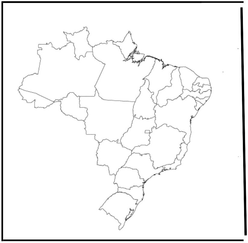
Blank Brazil Map with Cities
A blank Brazil map with cities shows Brazil’s outline with the locations of the cities, but no labels, which is not ideal for learning geography. It helps students to practice the identity of the city, supports the quiz, travel plan, and encourages interactive activities such as labeling and coloring, making it a valuable educational and reference tool.
Brazil has a diverse climate due to its vast size, which affects vegetation, wildlife, and regional lifestyle, from warm and humid to cool and subtropical in the south. The climate zones are as follows:

![Blank Map of World [Free Printable Maps]](https://blankmapofworld.com/wp-content/uploads/2025/05/blank-map-logo-1.png)
