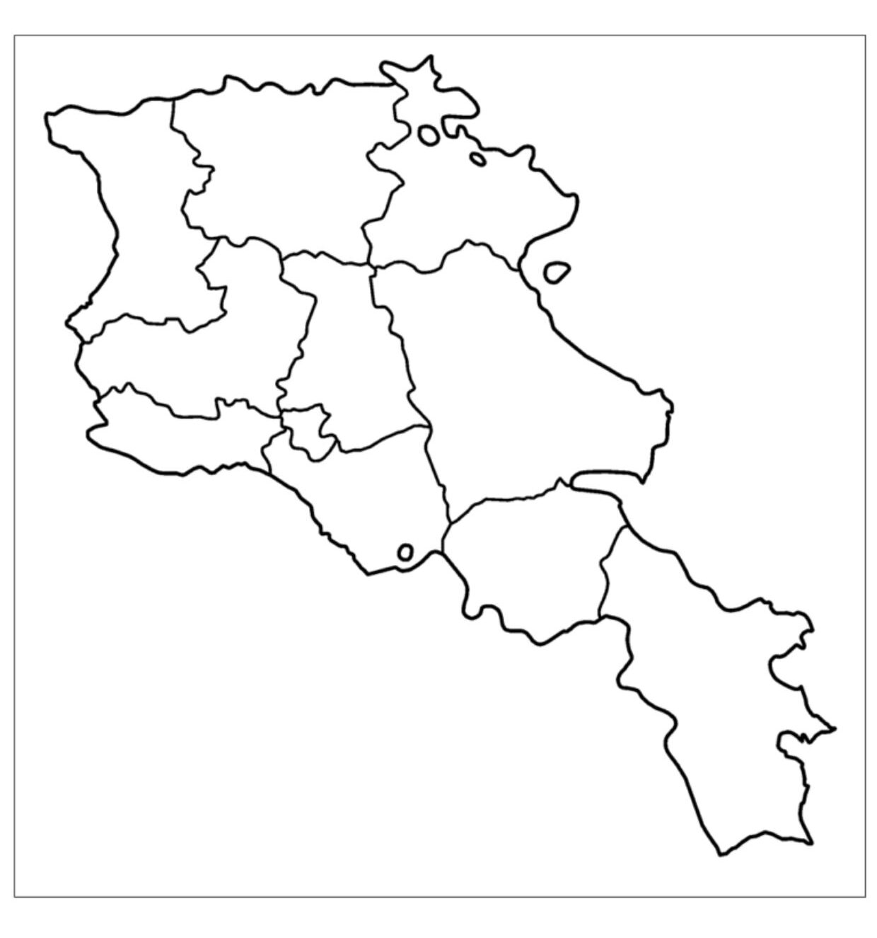
A Blank Map of Armenia is an important educational and geographical tool, providing a simplified outline of the borders, but without labels or any topographic details. It is also devoid of interior divisions. Located in the South Caucasus of the Eurasian continent, Armenia is a landlocked country bordered to its west by Turkey and to its north by Georgia.
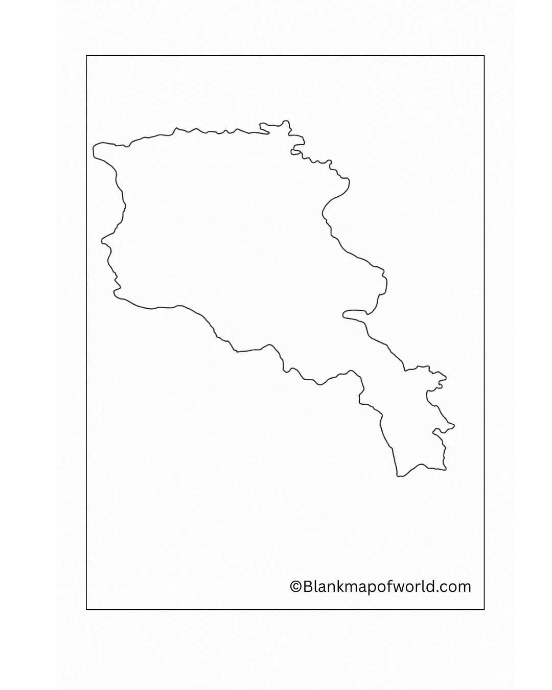
The remainder of its borders can be found in the territories of Azerbaijan and Iran. Although it is a small country, Armenia, wielding over 3000 years of cultural heritage, has a rich history and is home to diverse landscapes.
Free Blank Map of Armenia
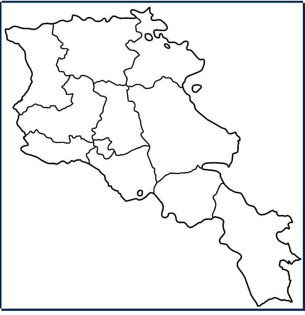
| Province | Capital | Area (km²) | Population (2022) | Population Density (per km²) |
|---|---|---|---|---|
| Aragatsotn | Ashtarak | 2,773 | 128,941 | 46.5 |
| Ararat | Artashat | 2,090 | 248,982 | 119.1 |
| Armavir | Armavir | 1,231 | 253,493 | 205.9 |
| Gegharkunik | Gavar | 5,351 | 209,669 | 39.2 |
| Kotayk | Hrazdan | 2,076 | 269,883 | 130.0 |
| Lori | Vanadzor | 3,799 | 222,805 | 58.6 |
| Shirak | Gyumri | 2,680 | 235,484 | 87.9 |
| Syunik | Kapan | 4,506 | 114,488 | 25.4 |
| Tavush | Ijevan | 2,704 | 114,940 | 42.5 |
| Vayots Dzor | Yeghegnadzor | 2,310 | 47,369 | 20.5 |
| Yerevan | — | 223 | 1,086,677 | 4,873.0 |
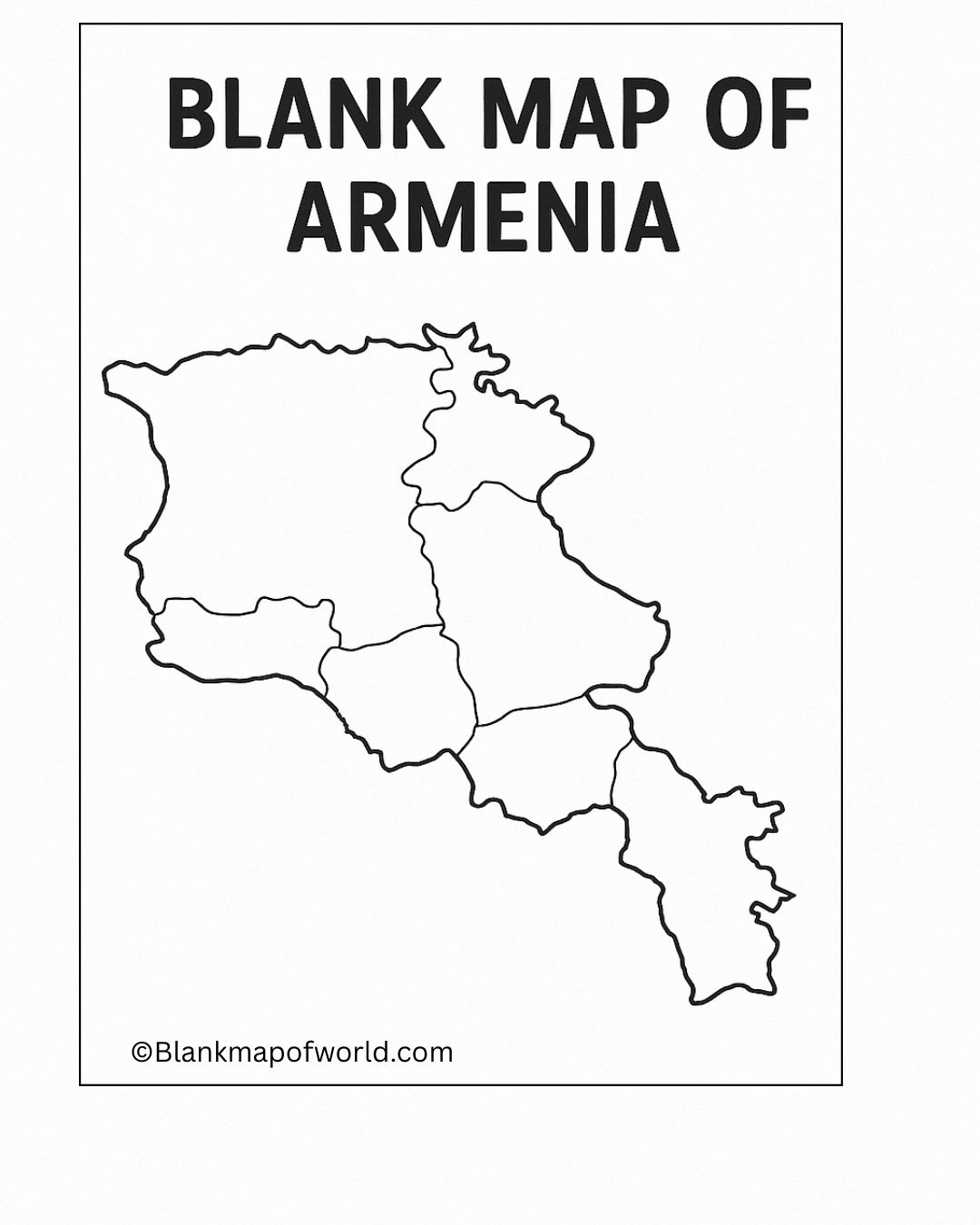
Armenia is a tiny nation in the South Caucasus and the blank map can aid in the comprehension of its shape and its position within Turkey, Georgia, Azerbaijan, and Iran. It is a straightforward tool to facilitate everybody with the study of geography.
Printable Map of Armenia – Worksheet
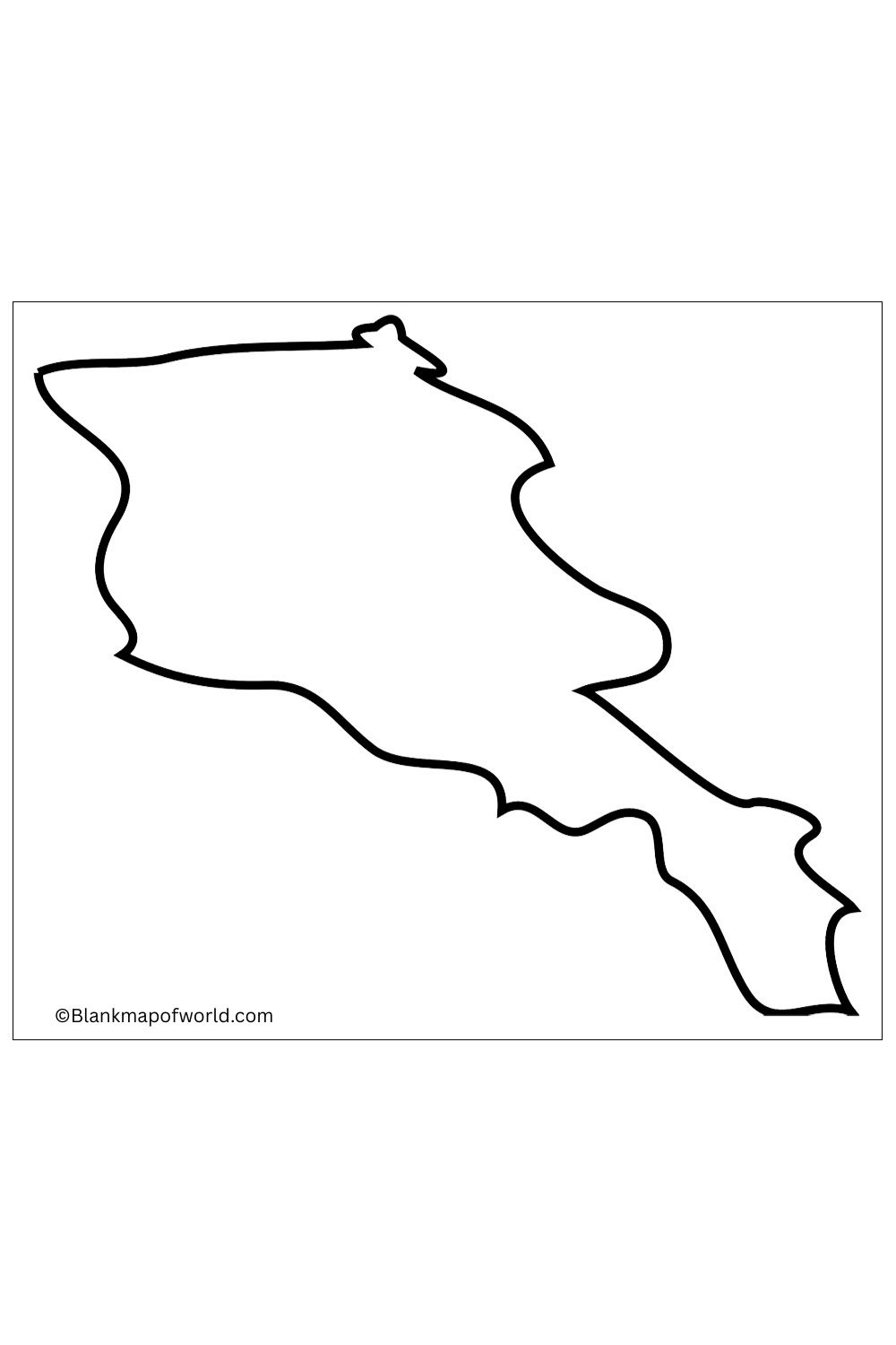
A worksheet of the blank map of Armenia is a kind of educational material which are designed to help students learn about a country’s kind of geography, interactively and appealingly. With no text or labeling of any kind, learners can identify or mark provinces, cities, rivers, and even boundaries. It encourages students to actively participate and come away with a deeper understanding of the South Caucasian nation of Armenia, as well as neighboring countries.
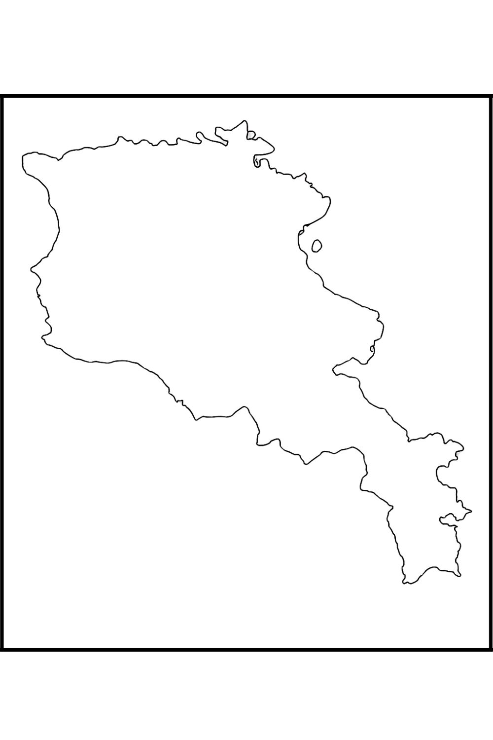
Teachers often give such worksheets as quizzes, have the kids label maps themselves, or, at times, use them for classroom discussion. It’s also helpful for travelers and researchers to get an idea of the geographical conditions and administrative divisions. By and large, this promotes visual learning and an awareness of geography.
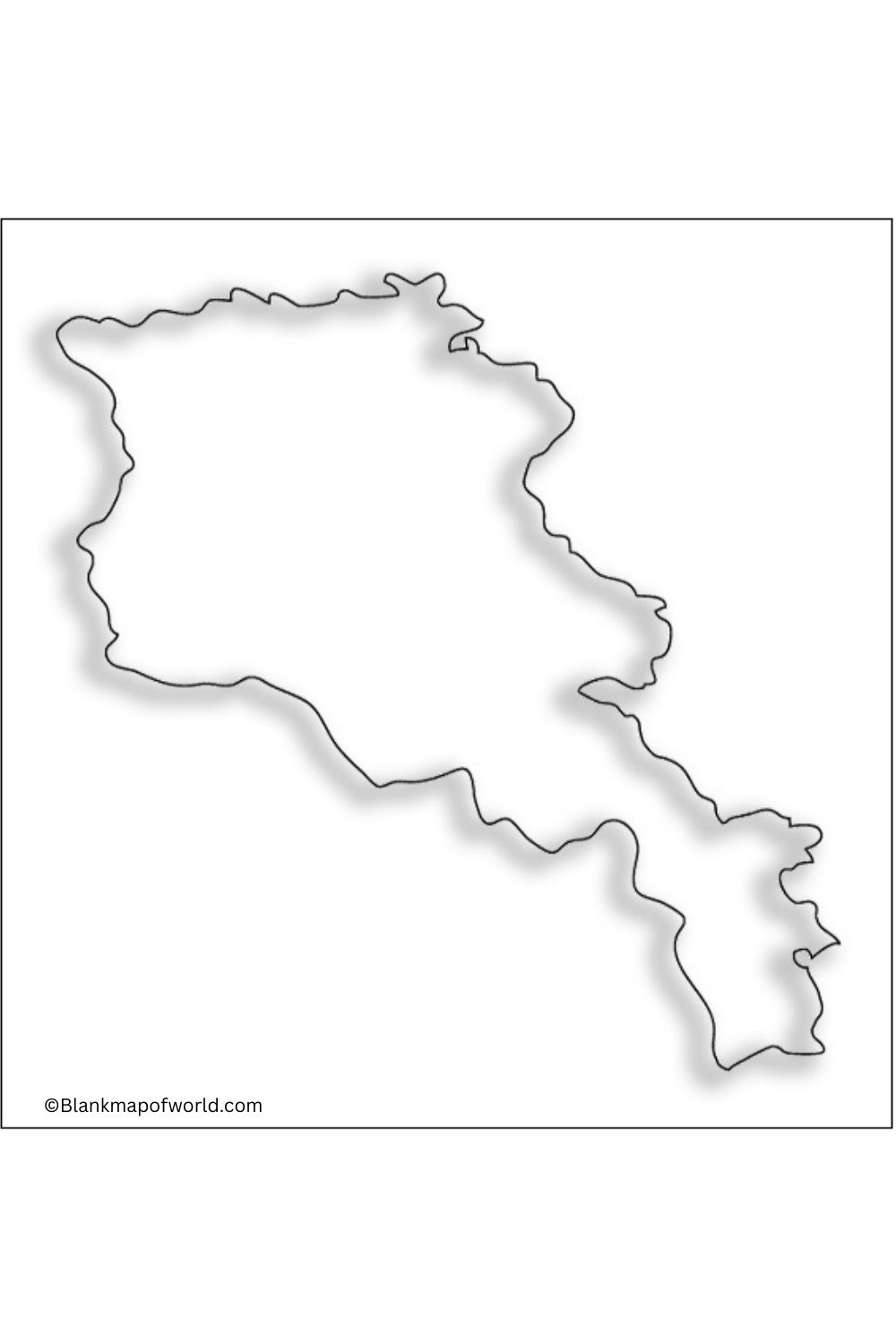
Blank Armenia Map – Outline
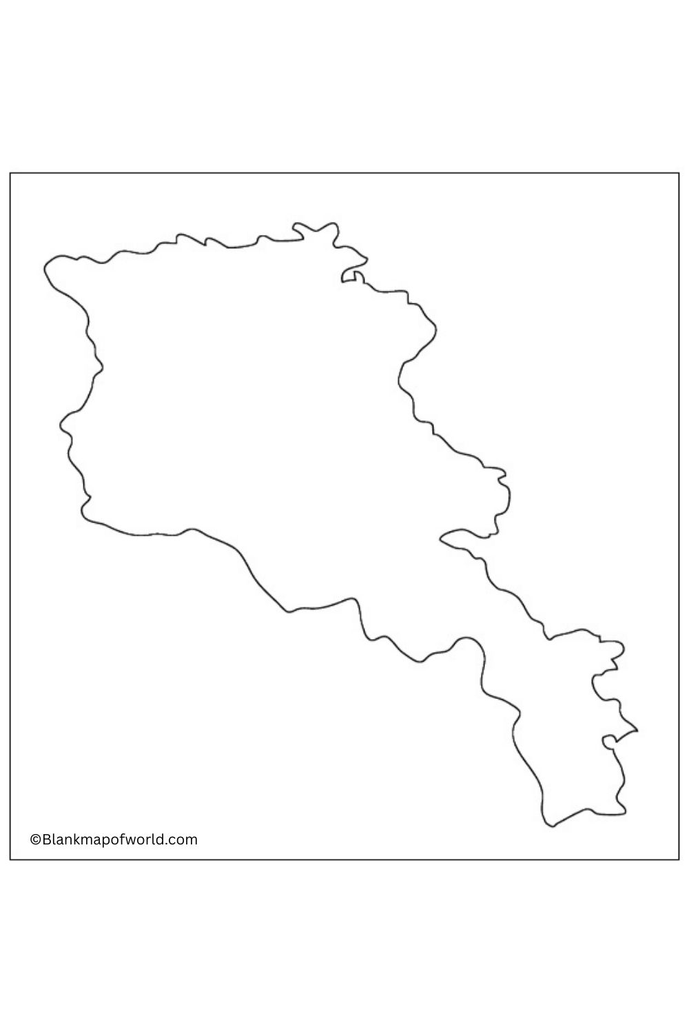
A worksheet of blank map of Armenia is a kind of educational material that is designed to help students learn about a country’s geography, interactively and appealingly. With no text or labeling of any kind, learners can identify or mark provinces, cities, rivers, and even boundaries.
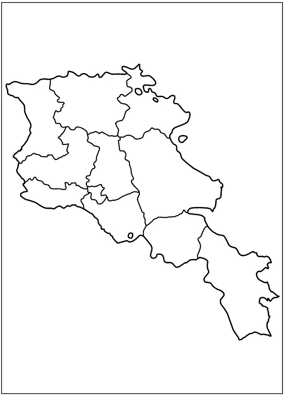
It encourages students to actively participate and come away with a deeper understanding of the South Caucasian nation of Armenia a as well as neighboring countries. Teachers often give such worksheets as quizzes, have the kids label maps themselves,e s or at times use them for classroom discussion.
Transparent Armenia Map
The Transparent Armenia Map represents data related to transparency, governance, and civil engagement within Armenia. It highlights areas with different levels of transparency, reflects areas of strong governance, and needs to be improved. The map often consists of color-coded areas to indicate transparency scores, levels of corruption, and public service efficiency. It serves as an essential tool to identify challenges for policymakers, workers, and citizens and to track progress towards more openness and accountability in areas of Armenia.
![Blank Map of World [Free Printable Maps]](https://blankmapofworld.com/wp-content/uploads/2025/05/blank-map-logo-1.png)