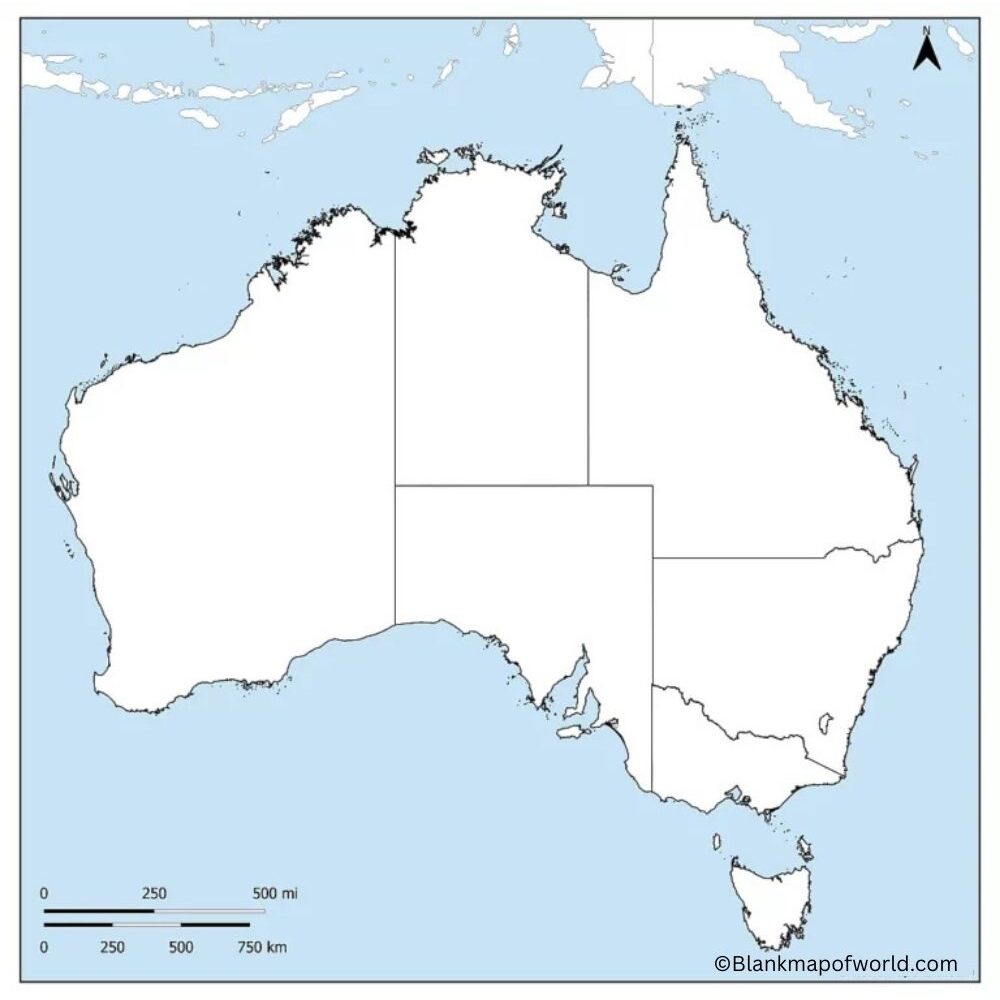
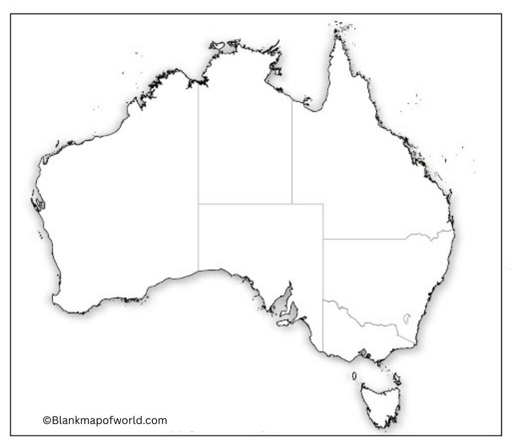
Blank Map of Australia is a simple drawing outline of the country that has no names or labels, and no additional information. It just illustrates the outline of Australia, as well as its borders, and therefore can be easily learned and practiced. Usually, teachers provide students with blank maps in order to test their geographical knowledge of Australia by filling out the names of states, territories, and cities. It may also be applied in pleasure activities, such as writing about what is famous (whether it is places, rivers, mountains, or even to plan on a visit and writing those travel spots).
The blank map of Australia is placed because Australia is a large country located in the oceans and named after the outback and the Great Barrier Reef; therefore, it is necessary to notice the general shape of the map.
Table of Contents
Free Blank Map of Australia

A blank map of Australia is a very basic drawing that does not identify any names, features, or details of that country. It is an empty template to fill in your information. It may be used by students to continue to practice writing the names of states, cities, or important places. Teachers tend to provide it to children in schools so as to facilitate the process of education in this field.
| State/Territory | Capital City | Estimated Population (2024) | Area (km²) | |
|---|---|---|---|---|
| New South Wales (NSW) | Sydney | 8.4 million | 809,444 | |
| Victoria (VIC) | Melbourne | 6.9 million | 237,657 | |
| Queensland (QLD) | Brisbane | 5.5 million | 1,730,648 | |
| Western Australia (WA) | Perth | 2.9 million | 2,529,875 | |
| South Australia (SA) | Adelaide | 1.8 million | 983,482 | |
| Tasmania (TAS) | Hobart | 580,000 | 68,401 | |
| Australian Capital Territory (ACT) | Canberra | 460,000 | 2,358 | |
| Northern Territory (NT) | Darwin | 250,000 | 1,349,129 |
Travelers may also use it to mark the locations that they desire to visit. As Australia is a gigantic nation with oceans encircling it, this blank map provides a good glance at the vastness of the nation, as well as allowing people to edit it.
Printable Blank Map of Australia

A printable map can be printed out easily on paper to study, work on, or use personally. You can write on a printable map and color it as you wish to create a printable copy of a map that you can refer to as you plan the trip. It may be just a transparent map with contours and ornaments, just outlines and borders, or it may include details with such inclusions as cities (states), rivers, and landmarks, as well as labels. Printable maps come in handy during geography classes, by the teachers during quizzing, the traveler in mapping, or even those who love marking places.
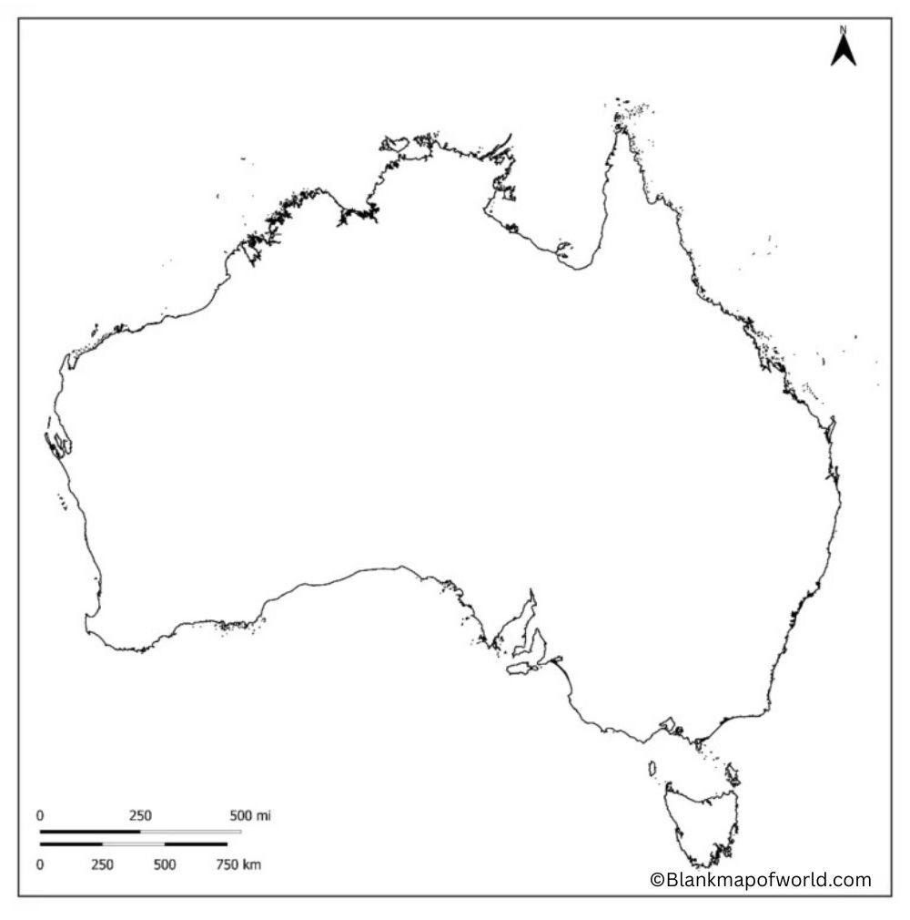
Outline Map of Australia

An outline map of Australia is a simple diagram that indicates only the overall outline of the nation. It is nameless, label-wise, and does not include any additional information. These types of maps are especially common in schools, where people learn about Australia by locating the states, cities, or subjects themselves. Students, ts example, can highlight such places as Sydney, Melbourne, and the Great Barrier Reef. It is applicable in projects, quizzes, or even trip planning. To put it in layman’s terms, it is like a rudimentary sketch of Australia that shoves a blank canvas in your face to paint upon and learn more about the country.
![Blank Map of World [Free Printable Maps]](https://blankmapofworld.com/wp-content/uploads/2025/05/blank-map-logo-1.png)