Blank Map of Benin – Benin was located in West Africa. Benin shares borders with Togo to the west and Burkina Faso and Niger to the north. It borders Nigeria to its east, Benin’s southernmost extension juts directly onto the Gulf of Guinea, so that it has access to both an Atlantic ocean beach and a stretch of considerably indented coastline without any part being very well into the interior.
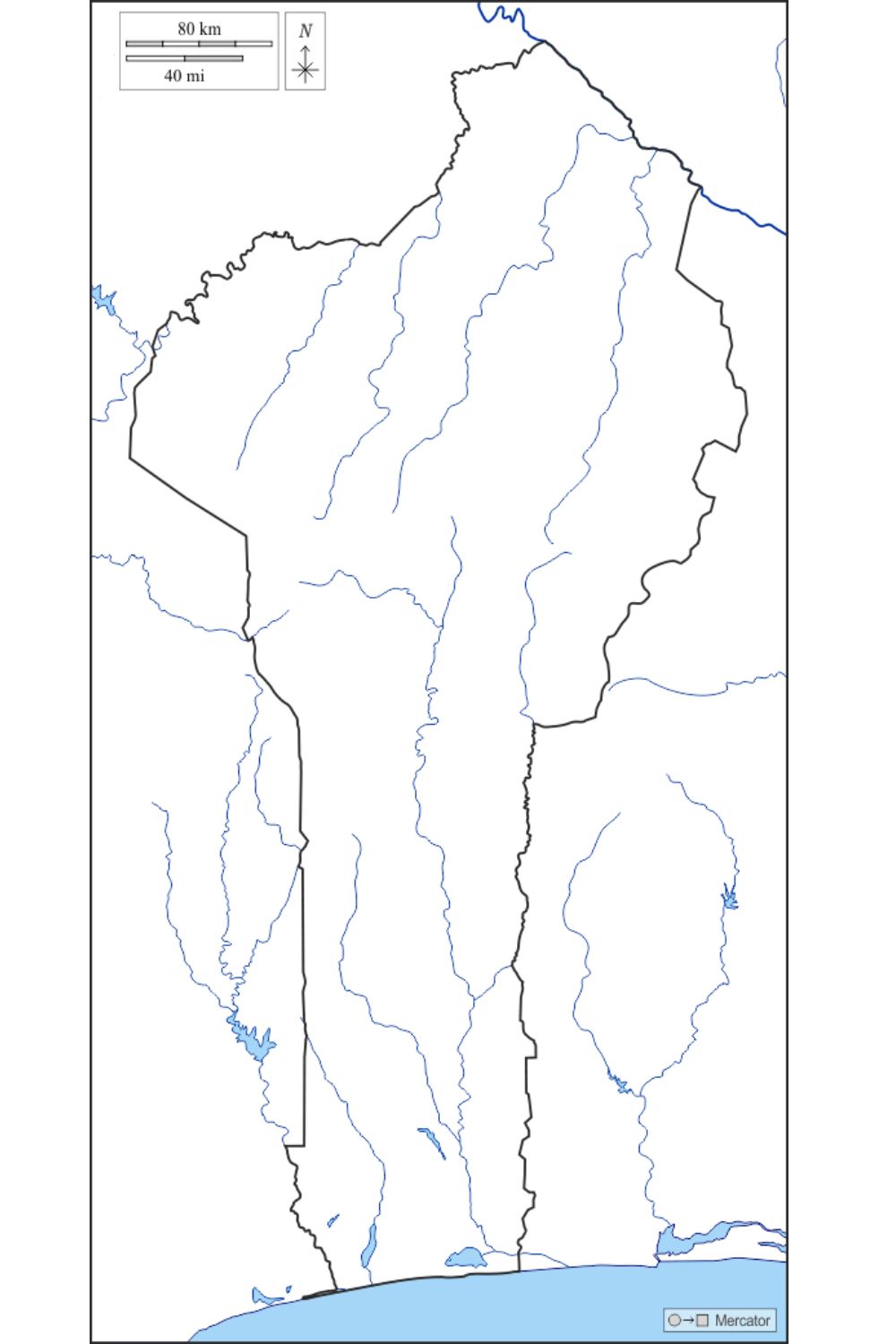
When looking at the shape of a Free printable blank map of Benin, among the most prominent features is its relatively flat land interposed with a few low hills in its north. The country of Benin occupies approximately 112,622 square kilometers and has a population of some 12 million residents.
Free Blank Map of Benin
A free blank map of Benin is an outline map or simple map of the country with no labels, colors, or additional information on the shape and boundaries of the country. It can be employed to educational advantage, as a resource in teaching geography, history, or political studies.
It can be used by students to label cities, rivers, or regions and by teachers to construct quizzes and assignments. It is also used by travelers and researchers to identify places or directions. Being blank, it is flexible in terms of offering customization according to various needs. It is free and available online and easy to print, so it is a handy learning resource and project.
| Department | Capital | Area (km²) | Population (2013) | |
|---|---|---|---|---|
| Alibori | Kandi | 26,242 | 868,046 | |
| Atakora | Natitingou | 20,499 | 769,337 | |
| Atlantique | Ouidah | 3,233 | 1,396,548 | |
| Borgou | Parakou | 25,856 | 1,202,095 | |
| Collines | Savalou | 13,931 | 716,558 | |
| Kouffo | Dogbo-Tota | 2,404 | 741,895 | |
| Donga | Djougou | 11,126 | 542,605 | |
| Littoral | Cotonou | 79 | 678,874 | |
| Mono | Lokossa | 1,605 | 495,307 | |
| Ouémé | Porto-Novo | 1,281 | 1,096,850 | |
| Plateau | Sakété | 3,264 | 624,146 | |
| Zou | Abomey | 5,243 | 851,623 |
You memorize and study the shape and borders of this West African country by giving up all the added geographical details: Benin is bordered by Togo to the west, Nigeria to the east, Burkina Faso and Niger to the north, with the Atlantic Ocean to its south. The map shows Benin’s long, narrow shape stretching from the coast inland.
It helps to show some of where Benin’s important cities are located, such as Porto-Novo (the capital) and Cotonou (the economic center). An empty map is perfect for educational purposes and can show Benin’s location, its relationships with neighboring countries, and its administrative divisions.
Printable Map of Benin – Worksheet
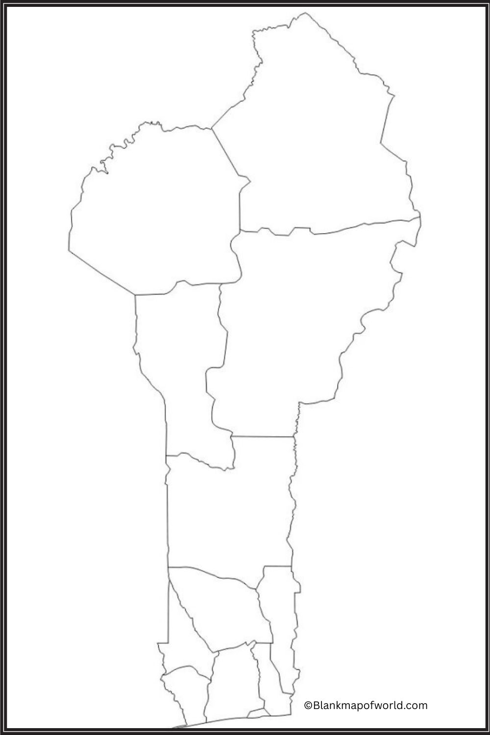
A blank map of Benin makes it easy to teach students the geography and administration departments of the country. This sheet hints at and points out on the map Benin’s proximity to its neighbors’ shape/outlinewithout cities or provinces named by SAGE or GPS. This allows student researchers can mark in such names as 12 departments, capital cities such as Porto-Novo, and major locations including Cotonou.
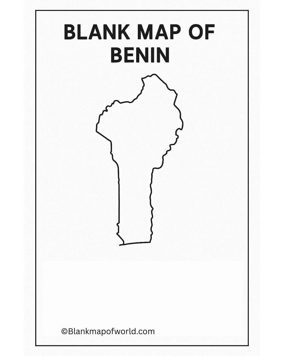
For classroom use, self-study, or tutoring, it is a handy educational aid. This worksheet can help you to gradually become familiar with Benin’s geography, and help you notice and remember places as time passes without being stuck with any inconvenience of having to go through the entire semester in repetition. Especially good for quizzes, map activities, or to deepen comprehension of the structure of Benin (urban, rural), it can be seen as an indispensable help.
Blank Benin Map – Outline
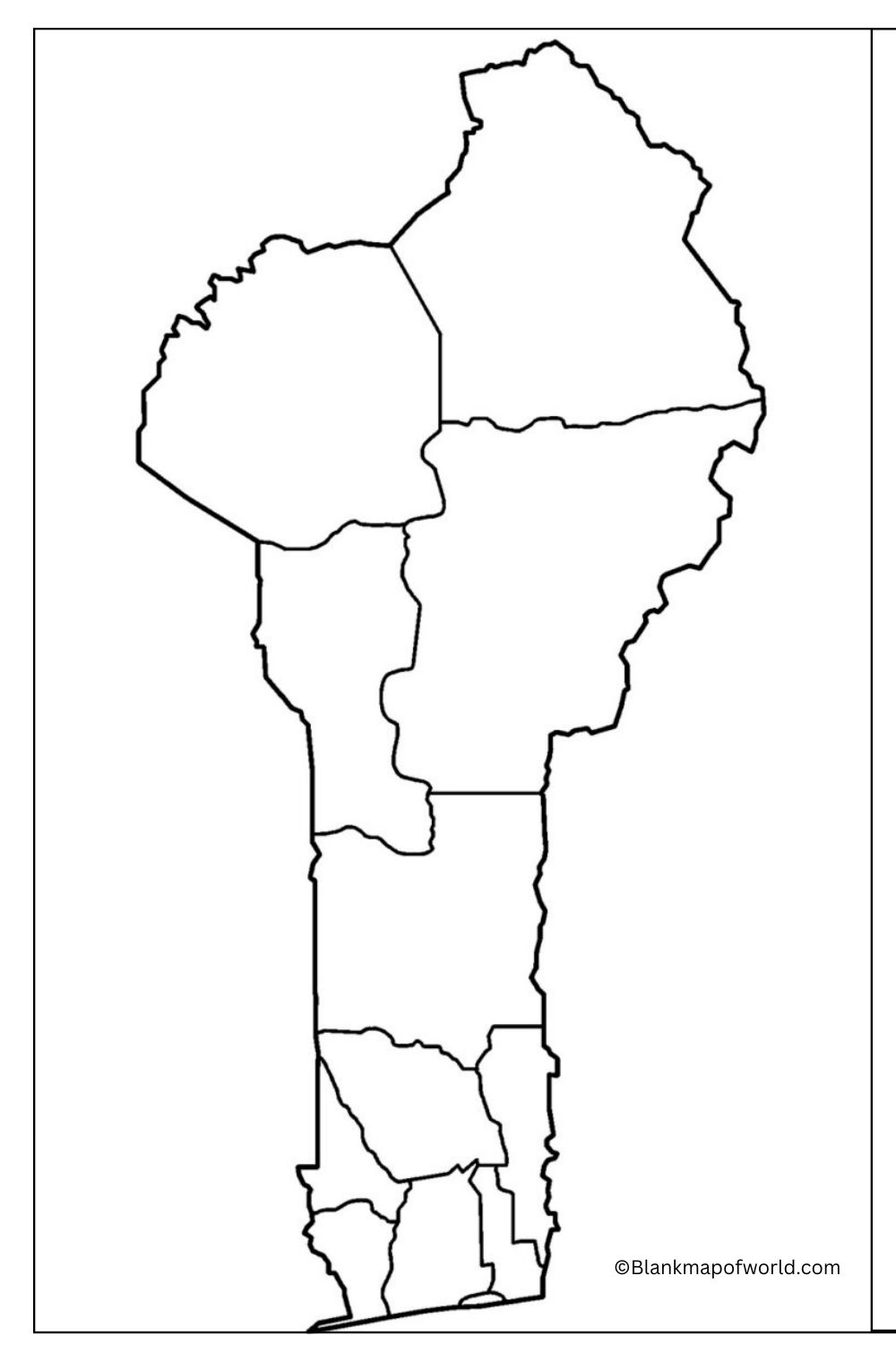
A blank outline map or schematic depicts the position and boundaries of Benin only, with no other information included. It is okay as an educational aid because people can identify and label its neighboring countries, cities, major rivers – all things Benin has to offer. Such a map gives the visual learner a deep impression of Benin in est Africa.
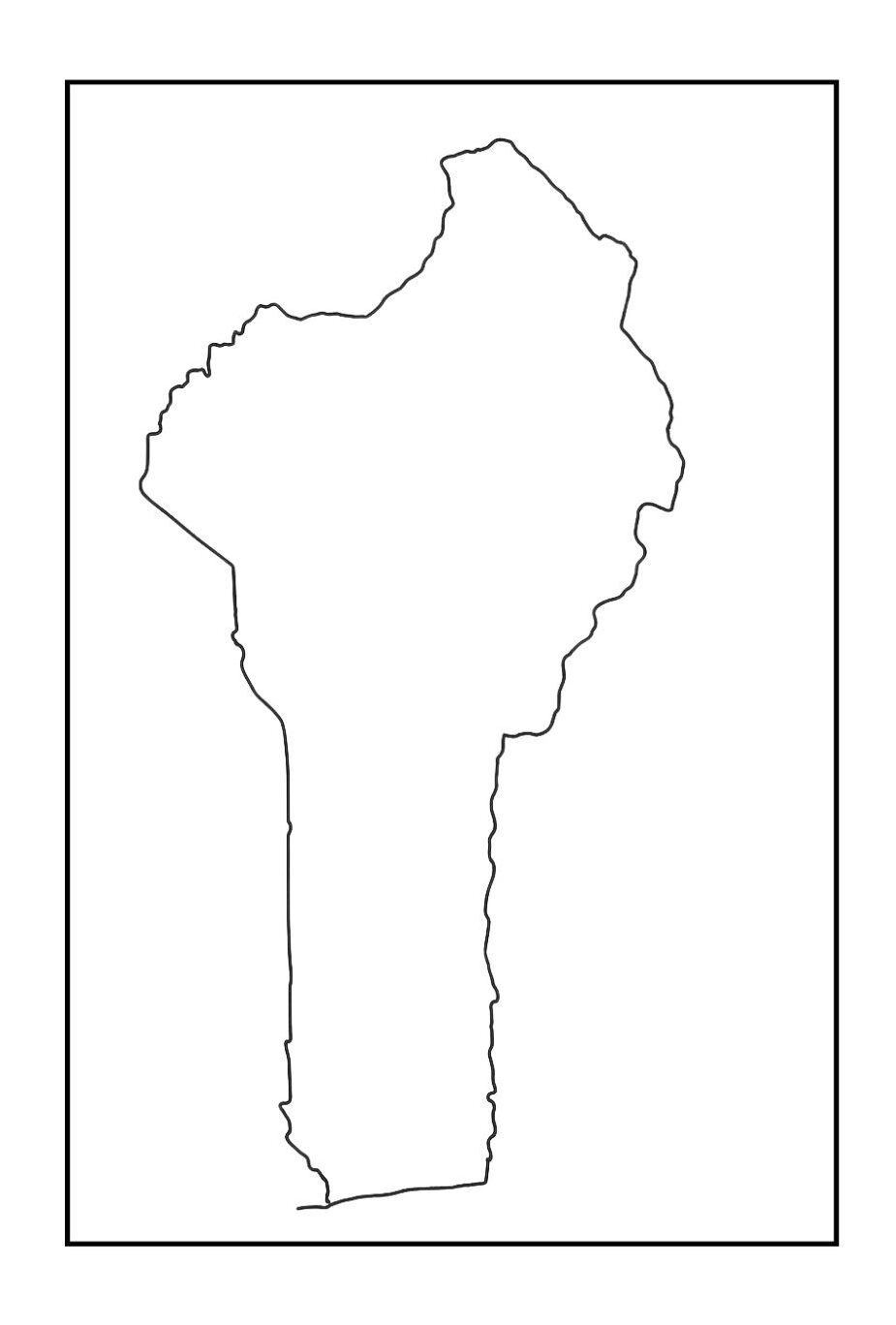
Next to it are Togo and Nigeria, while upper earner surrounds Nigeria from one side or another, Burkina Faso to its east; Niger on that same westwards-facing border with Nigeria as well as both Isandwan and Zanzibar.
The graphic format is conducive to interactive learning. Students can use it to locate countries’ capitals, draw freehand rivers, copy geographic regions, and so on. Good for class activities as well as geography assignments.
Transparent Benin Map

A Transparent Map of Benin displays the country’s borders and major features through a scene. It highlights the underlying layers or backgrounds to appear, highlighting important areas such as areas and major cities.
This type of map is useful for overlays, presentations, and educational uses, which provides a flexible and visually clear geographical reference. Transparency makes it easier to design or include interactive projects, enhancing versatility and visual appeal.
![Blank Map of World [Free Printable Maps]](https://blankmapofworld.com/wp-content/uploads/2025/05/blank-map-logo-1.png)