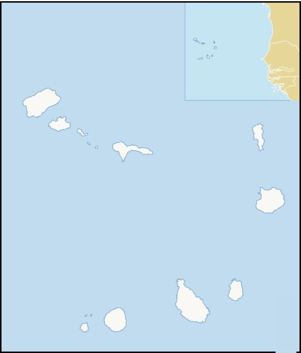
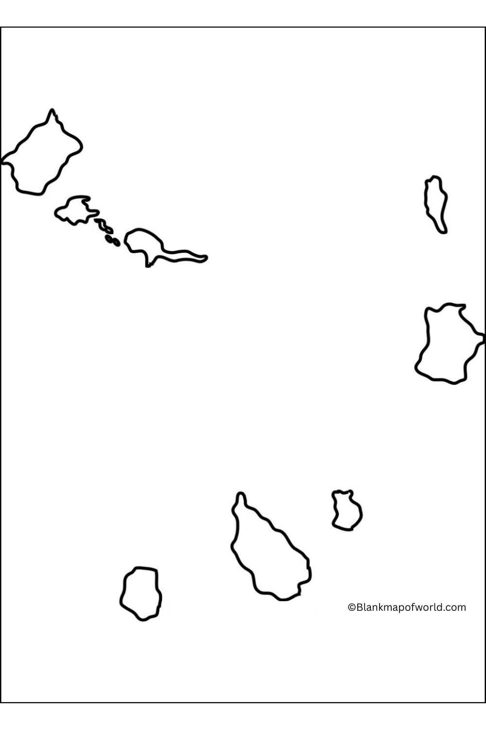
A Blank Map of Cabo Verde is a useful tool for learning about this beautiful island nation located on the northwestern coast of Africa in the Atlantic Ocean. The country is about 570 kilometers (350 miles) west of Africa. Considering the ten volcanic islands, Cabo Verde is known for its rich cultural heritage, visible landscape, and vibrant coastal cities. An empty map provides an outline of islands without labels, making it perfect for educational purposes, geography practice, or research projects.

Students and teachers can use it to identify major islands such as Santiago, Sal, Boa Vista, and São Visent, as well as their relative positions. It is also helpful for any person studying the passengers’ planned routes or the geography and political division of the country. Whether used for color, marking important cities, or understanding the regional differences, a blank map serves as a simple yet effective visual aid. This encourages interactive learning, giving a clear understanding of the island geography of Cabo Verde.
Free Blank Map of Cabo Verde

Cabo Verde, or Cape Verde, is a small country in the Atlantic Ocean just off West Africa’s coast. It is made up of ten volcanic islands and various tiny islets, where you’ll discover mountains and valleys in one place and enough sand for your toes. Cabo Verde has a wide mixture of history. It is a tropical country with a crisscross of African, Portuguese, and Brazilian influences. Based on services, agriculture, and tourism, the economy of Cabo Verde is small but stable and vibrant. Cabo Verde is famous for its music, particularly the type known as “Morna”. It has a unique blend of Portuguese and African traditions.
| Island | Area (km²) | Population (2010 Census) | Largest Settlement | |
|---|---|---|---|---|
| Santiago | 991 | 131,602 | Praia | |
| São Vicente | 227 | 76,107 | Mindelo | |
| Santo Antão | 779 | 18,890 | Porto Novo | |
| Fogo | 476 | 22,228 | São Filipe | |
| Sal | 216 | 25,765 | Espargos | |
| São Nicolau | 388 | 7,580 | Ribeira Brava | |
| Brava | 67 | 5,995 | Nova Sintra | |
| Maio | 269 | 6,952 | Vila do Maio | |
| Boa Vista | 620 | 9,162 | Sal Rei | |
| Santa Luzia | 35 | 0 | — |
Printable Blank Map of Cabo Verde – worksheet

The island of Cape Verde materializes point by point a comprehensive description and provides information about the population, area, as well largest settlements for each island. As well as ten main islands, Cape Verde has two groups of islands, the Windward Islands and the Leeward Islands. The tables make a convenient comparison for such things as geographic and demographic data about these islands.
The worksheet displays numbers in detail about the distribution of the population in the archipelago, such as which is the largest settlement on the false island of San Tiago. After all, Praia signifies added to city life like Mindelo, with its splendid nightlife on São Vicente.
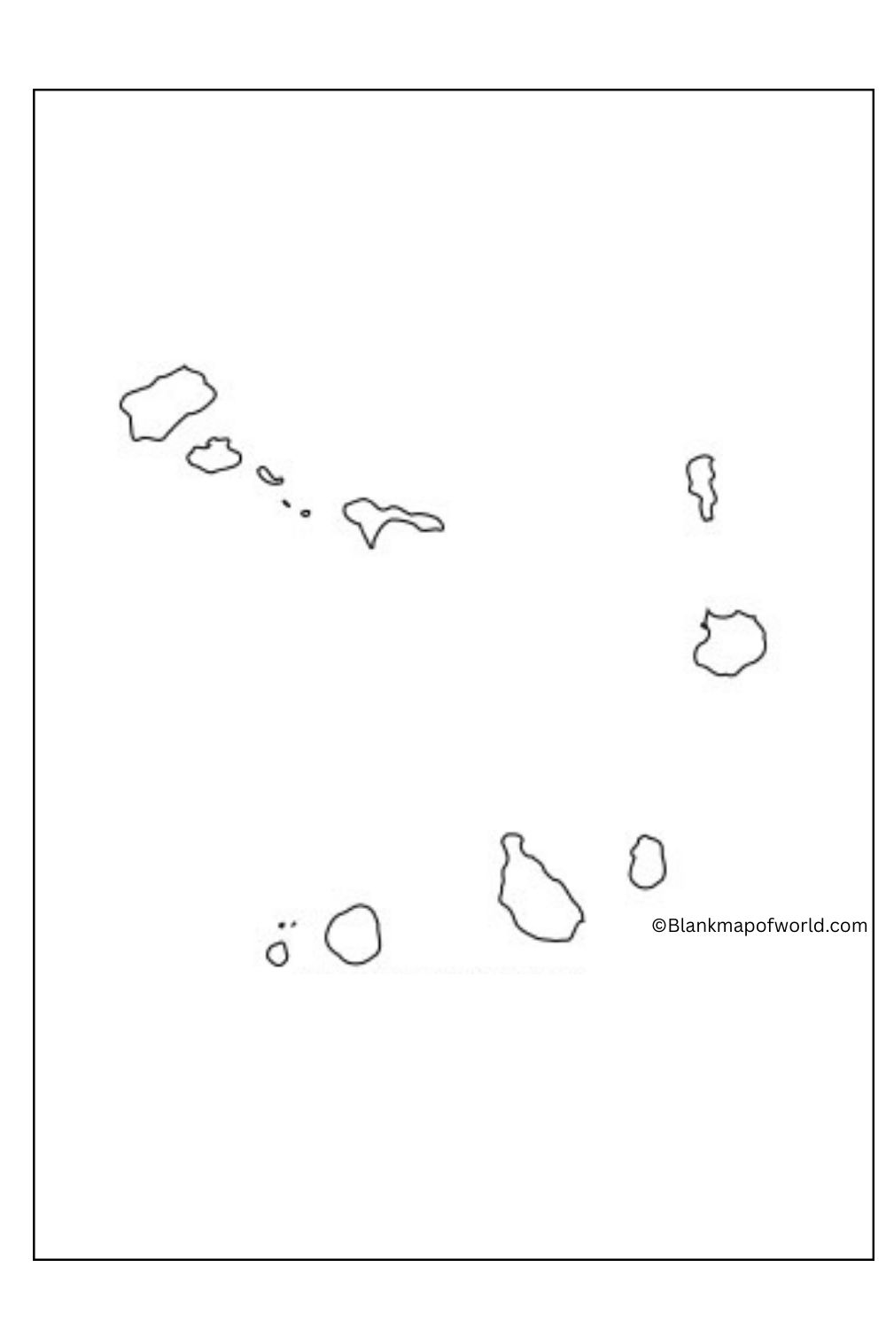
Blank Map of Cabo Verde – Outline

An outline map of Cabo Verde shows where the Atlantic primary island countries can be found. The map makes very clear how the archipelago is arranged, the Windward Islands (Barlavento) and the Leeward Islands (Sotavento). Each island is shown on the map, thereby giving a visual representation of this unusual island-based country.
This can also provide an understanding of Cabo Verde’s geography as the importance of great islands such as Santiago, Sao Vicente, and Fogo becomes clear. Although it lacks fine detail, such a map serves as an excellent tool for getting to grips with basic geographical ideas and for learning about the country’s nature.
![Blank Map of World [Free Printable Maps]](https://blankmapofworld.com/wp-content/uploads/2025/05/blank-map-logo-1.png)