A Blank Map of Canada gives the viewer a clear outline of the country, state-by-state, but without any labels or markings. This kind of map shows Canada’s ten provinces and three territories with the nation’s sprawling geography from the Atlantic Ocean in the northeastern corner to the Pacific Ocean on the western border, and into the Arctic Circle above Canada in its coldest north.
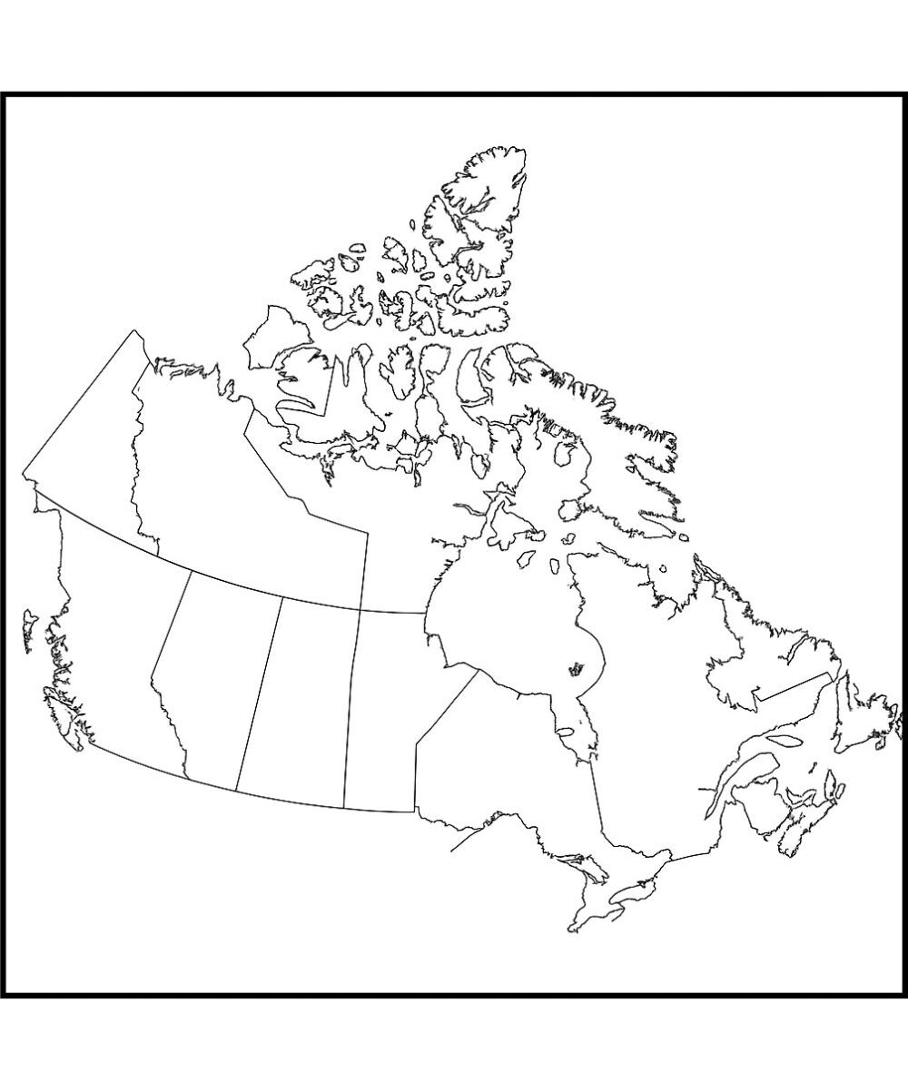
A good blank map of Canada strips away the distracting details so students, researchers, and educators can concentrate on learning and presenting specific pieces of information–like political boundaries, natural features, or cultural zones.
Related Post:
Free Blank Map of Canada
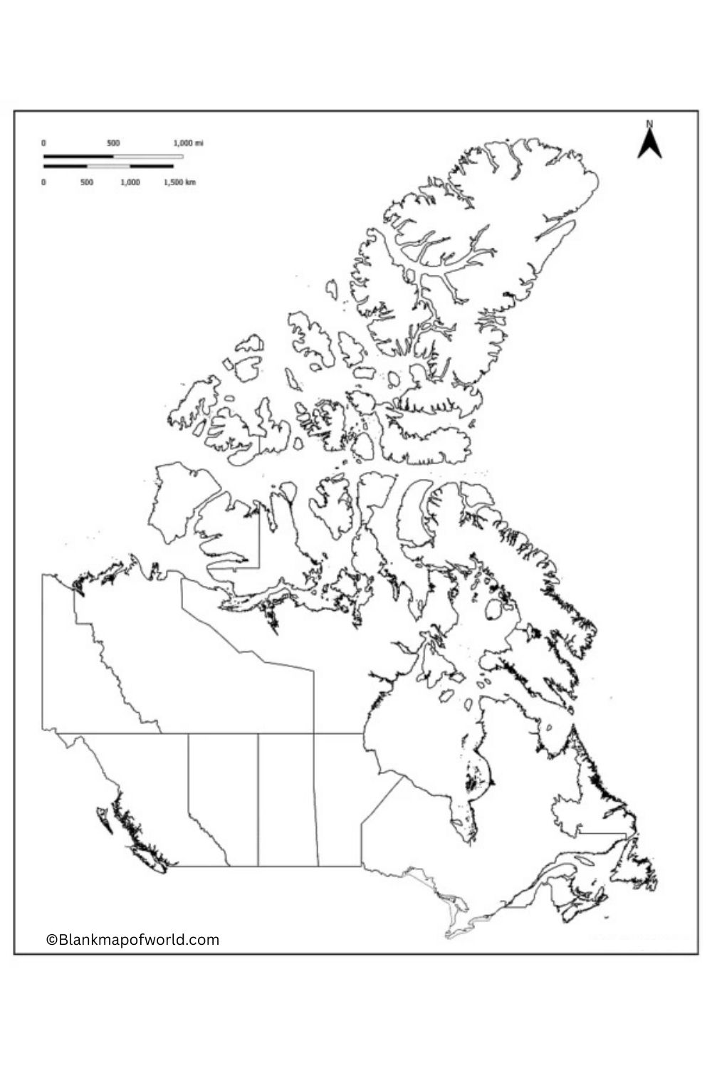
Canada ranks as the second-largest country in land area, centered at about 9.98 million square kilometers. Situated in North America, it extends from the Atlantic Ocean on the east to the Pacific Ocean on the west and from its border with the U.S. to the Arctic Circle to the north.
Canada is famous for its diverse landscape, including great forests, mountain ranges, and many lakes and rivers. It boasts a rich cultural heritage that finds expression in two official languages, English and French, and its history was shaped by indigenous peoples along with European settlers.
| Province/Territory | Capital | Population (Approx.) | Area (km²) | Language(s) |
|---|---|---|---|---|
| Alberta | Edmonton | 4,545,000 | 661,848 | English |
| British Columbia | Victoria | 5,200,000 | 944,735 | English |
| Manitoba | Winnipeg | 1,380,000 | 649,950 | English |
| New Brunswick | Fredericton | 780,000 | 72,908 | English/French |
| Newfoundland and Labrador | St. John's | 520,000 | 405,212 | English |
| Nova Scotia | Halifax | 970,000 | 55,284 | English |
| Ontario | Toronto | 14,800,000 | 1,076,395 | English |
| Prince Edward Island | Charlottetown | 160,000 | 5,660 | English |
| Quebec | Quebec City | 8,500,000 | 1,542,056 | French/English |
| Saskatchewan | Regina | 1,180,000 | 651,036 | English |
| Northwest Territories | Yellowknife | 45,000 | 1,140,000 | English |
| Nunavut | Iqaluit | 38,000 | 2,038,722 | Inuktitut/English |
| Yukon | Whitehorse | 42,000 | 482,443 | English |
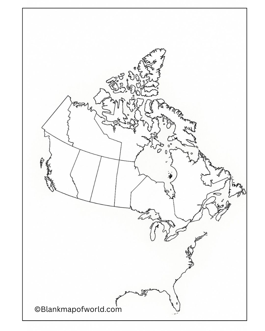
Canada is the second biggest country in the world. There are sculpted topography, towering mountain ranges, dense forests and inland lakes, open plains, and tundra that prove bittersweet to its inhabitants depending on the time of year. You can use a blank map in many ways: from classroom activities such as writing provinces, etc., to creating thematic maps for climate, etc.
Interactive learning encourages everyone to not only understand content but also the geography involved in understanding that content. For things like quizzes, assignments, or planning out class projects, a map without place names might be a valuable tool for getting your bearings on how this vast and diverse country is laid out. 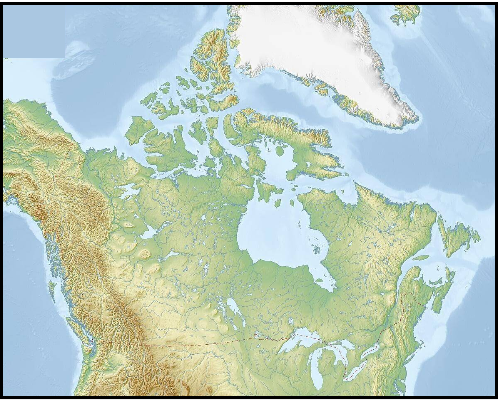
Printable Map of Canada – Worksheet
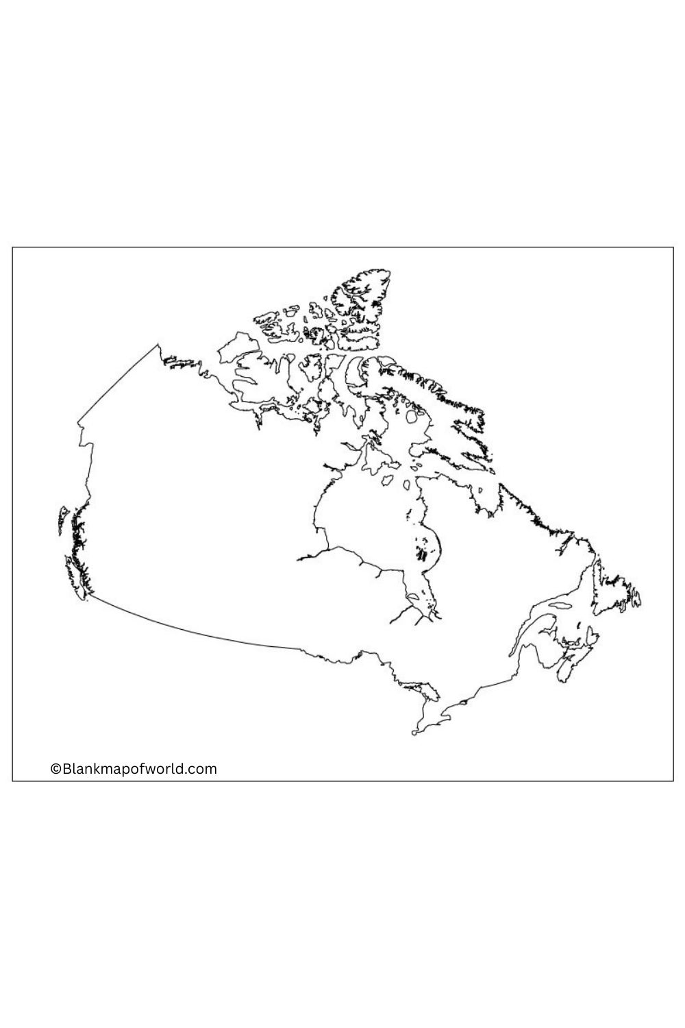
A blank map of Canada worksheet represents a great way for geography lovers or students to study. Typically, the country’s outline is shown, including its ten provinces and three territories with no labels or details of any kind.
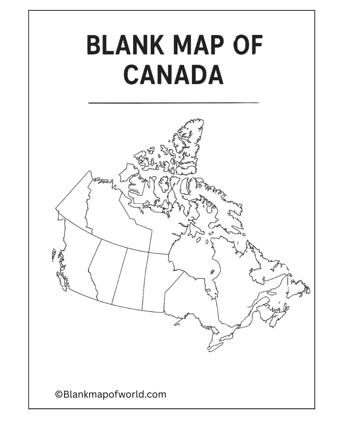
At the same time, their appreciation of space will grow by leaps and bounds. For example, this blank geography can be utilized in doing a range of educational chores: marking out provinces, indicating capitals, and investigating features like mountains, lakes, and rivers, whether natural or man-made. It provides perfect material for classroom activities, quizzes, and discussion boards all about Canada’s geography.
Outline of Canada Map
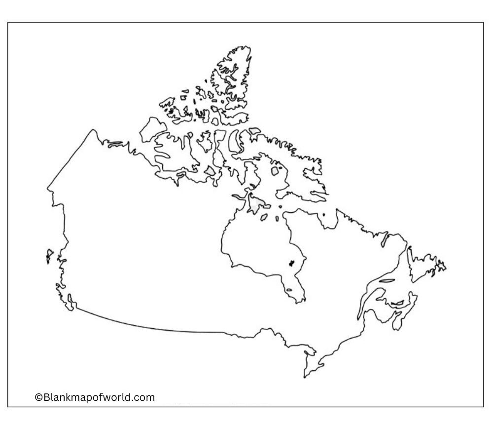
A map of Canada without any markings or names. It outlines all of Canada’s ten provinces and three territories. In educational terms, it is excellent for practice work, teaching children or students about the names and borders of the provinces, where the capitals are located, major rivers, lakes, and mountains.
It actively encourages people to learn; It’s made of space and geography, pointing the way for a new Canadian generation. Nearly any subject requiring students to study a blank outline map could be conveniently handled with this instrument. For example, they could place the names of provinces on it as a quiz, and assign it as an exercise to be colored in.
Blank Canada Map with Provinces and Capitals
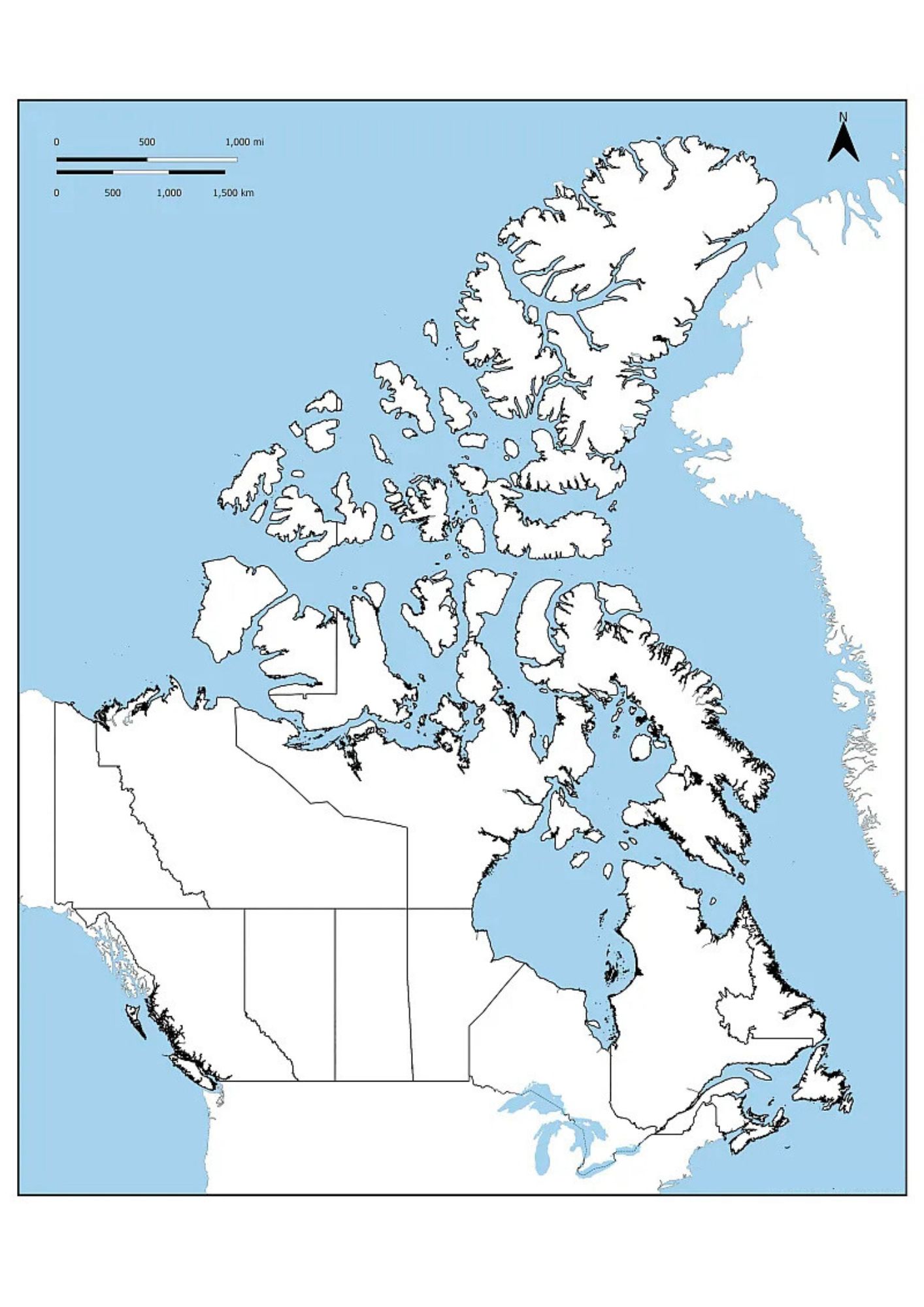
The Map of a Blank Canada with provinces and capitals shows the 10 provinces of the country and 3 regions with the capital cities mentioned. It is simple and easy to understand, so it is great for learning geography, school projects, or travel plans.
Each province and region is separated by boundaries, and its capital is listed for quick reference. Since it is empty, it can be used for color, labeling, or quizzes, which helps students and learners to easily remember the provinces of Canada and their capitals.
Blank Map of Canada with Cities
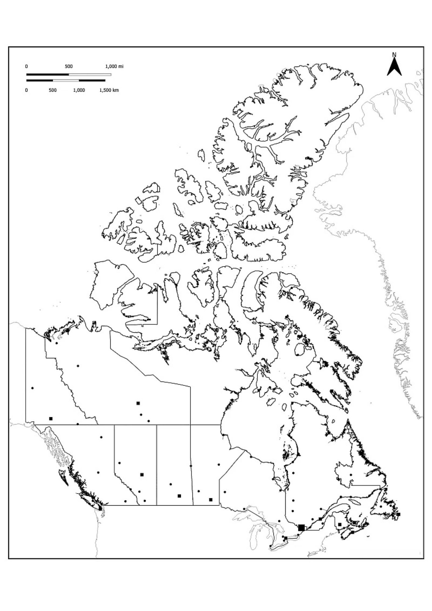
An empty map of Canada with cities is a simple outline map that reflects the size, provinces, and places of major cities without additional details. This geography is useful for learning, identifying important places, and educational activities.
You can label cities, color provinces, or use it for quizzes and projects. This type of map helps to understand that cities such as Toronto, Vancouver and Montreal are located, keeping the design clean and easy for students, teachers, or passengers.
![Blank Map of World [Free Printable Maps]](https://blankmapofworld.com/wp-content/uploads/2025/05/blank-map-logo-1.png)