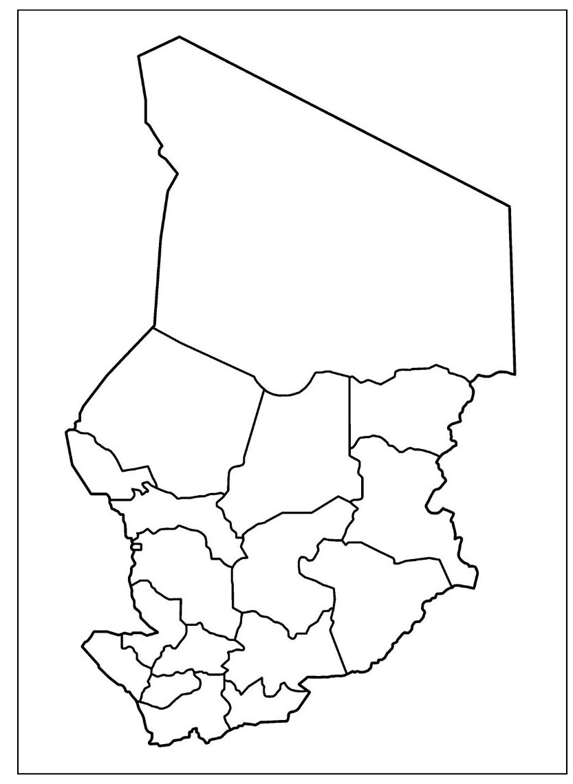
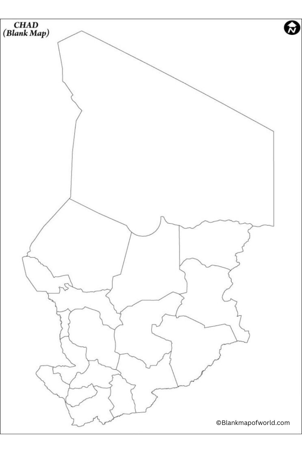
A Blank Map of Chad is essentially just a plain outline map showing the outline and the border of Chad without any names of cities, rivers, or any other places mentioned on it. It’s just a blank outline. Such maps cater to school students, teachers, or any wondering mind minding to locate Chad and its surrounding areas. Chad rests right in the very heart of the African continent and with borders with six other countries, like Libya, Sudan, and Nigeria.

A blank map of Chad allows the user to mark the names of the neighboring countries or landmarks such as Lake Chad. It is simple and fun, as the user can also color different parts of the map to highlight the dessert, lakes, or regions. Thus, in short, a blank map of Chad can be as useful for understanding the country as it would be for testing the user’s knowledge of maps with minimal effort.
Free Blank Map of Chad

A free blank map of Chad is a simple map that reflects only the size and boundaries of the country. It has no name for places, cities, or rivers. This map is free to use and is intended to help learn about students, teachers, or anyone in Chad. It can be used for school projects, map practice, or coloring. Chad is in the middle of Africa, and with this empty map, you can easily see where it is and which countries surround it. This is a fun and easy way to learn more about the country.
| Region | Regional Capital | Approx. Population (2023) | Location |
|---|---|---|---|
| Batha | Ati | 600,000 | Central |
| Borkou | Faya-Largeau | 120,000 | North |
| Chari-Baguirmi | Massenya | 700,000 | West |
| Guéra | Mongo | 560,000 | Central |
| Hadjer-Lamis | Massakory | 650,000 | West |
| Kanem | Mao | 450,000 | West |
| Lac | Bol | 500,000 | West |
| Logone Occidental | Moundou | 900,000 | South |
| Logone Oriental | Doba | 1,000,000 | South |
| Mandoul | Koumra | 800,000 | South |
| Mayo-Kebbi Est | Bongor | 1,100,000 | South |
| Mayo-Kebbi Ouest | Pala | 950,000 | South |
| Moyen-Chari | Sarh | 1,100,000 | South |
| N'Djamena | N'Djamena | 1,500,000+ | Capital (West) |
| Ouaddaï | Abéché | 1,100,000 | East |
| Salamat | Am Timan | 450,000 | Southeast |
| Sila | Goz Beïda | 350,000 | Southeast |
| Tandjilé | Laï | 700,000 | South |
| Tibesti | Bardaï | 30,000 | North |
| Ville de N'Djamena | N'Djamena | (part of capital region) | West |
| Wadi Fira | Biltine | 750,000 | East |
| Ennedi-Est | Am-Djarass | 110,000 | Northeast |
| Ennedi-Ouest | Fada | 90,000 | Northeast |
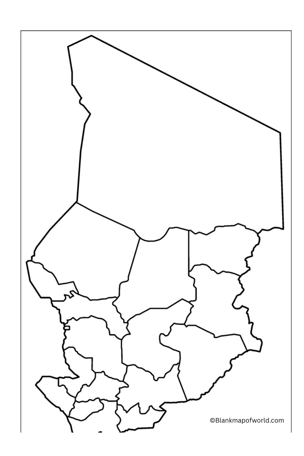
Printable Blank Map of Chad

A printable blank map of Chad is a plain map that reflects only the external size and boundaries of Chad without any names or details. You can print it and use it for learning or schoolwork. It is helpful for students in practicing writing names of nearby countries like Sudan or Nigeria, or places like Lake Chad. Teachers often use such maps in classrooms to teach geography. It is simple, easy to print, and good to download to learn about Chad’s location in Africa.
Outline Blank Map of Chad

A county outline map of Chad is a simple map that reflects only the size and boundaries of the country. It does not have the names of cities, rivers, or other places written on it. Such a map is useful for students, teachers, or anyone who wants to learn about Chaeasilyay. People can use it to write names, paint different fields, or mark important places such as Lake Chad. Chad is in the middle of Africa and is surrounded by countries such as Libya, Sudan, and Nigeria. This empty map is great for learning geography and practice.
![Blank Map of World [Free Printable Maps]](https://blankmapofworld.com/wp-content/uploads/2025/05/blank-map-logo-1.png)