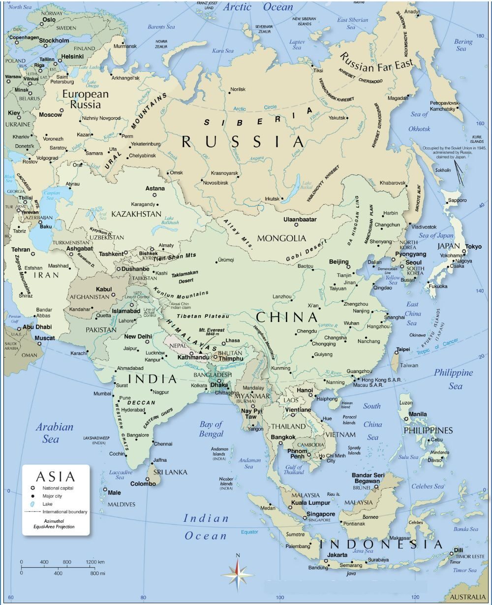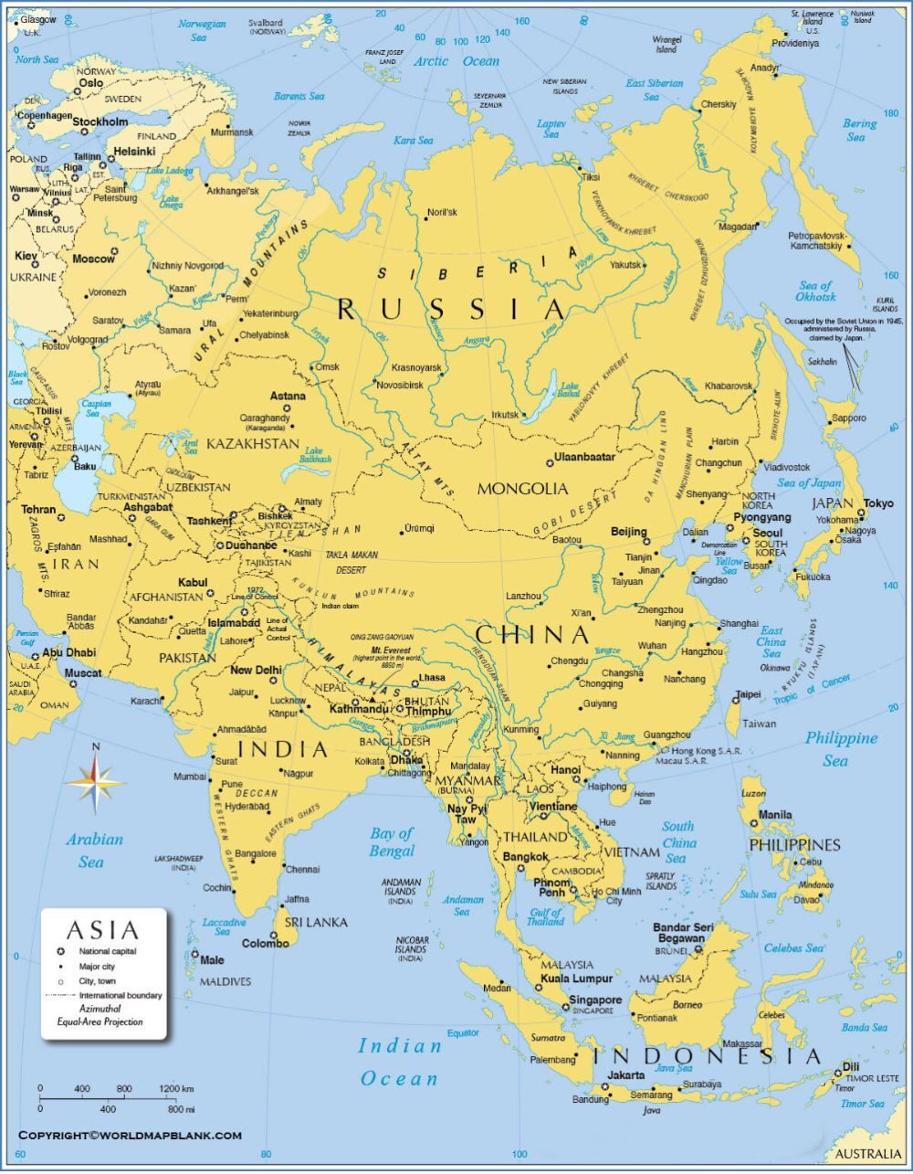
It is useful for students, travelers, and anyone who wants to understand the countries of Asia and how they are connected. The map helps explain things like trade, travel, and relationships between countries, giving a simple view of Asia’s different nations and governments.
Related Post:
- Political Map of Europe
- Africa Political Map
- Political Map of Antarctica
- Political Map of North America
- World Political Map
Free Asia Political Map
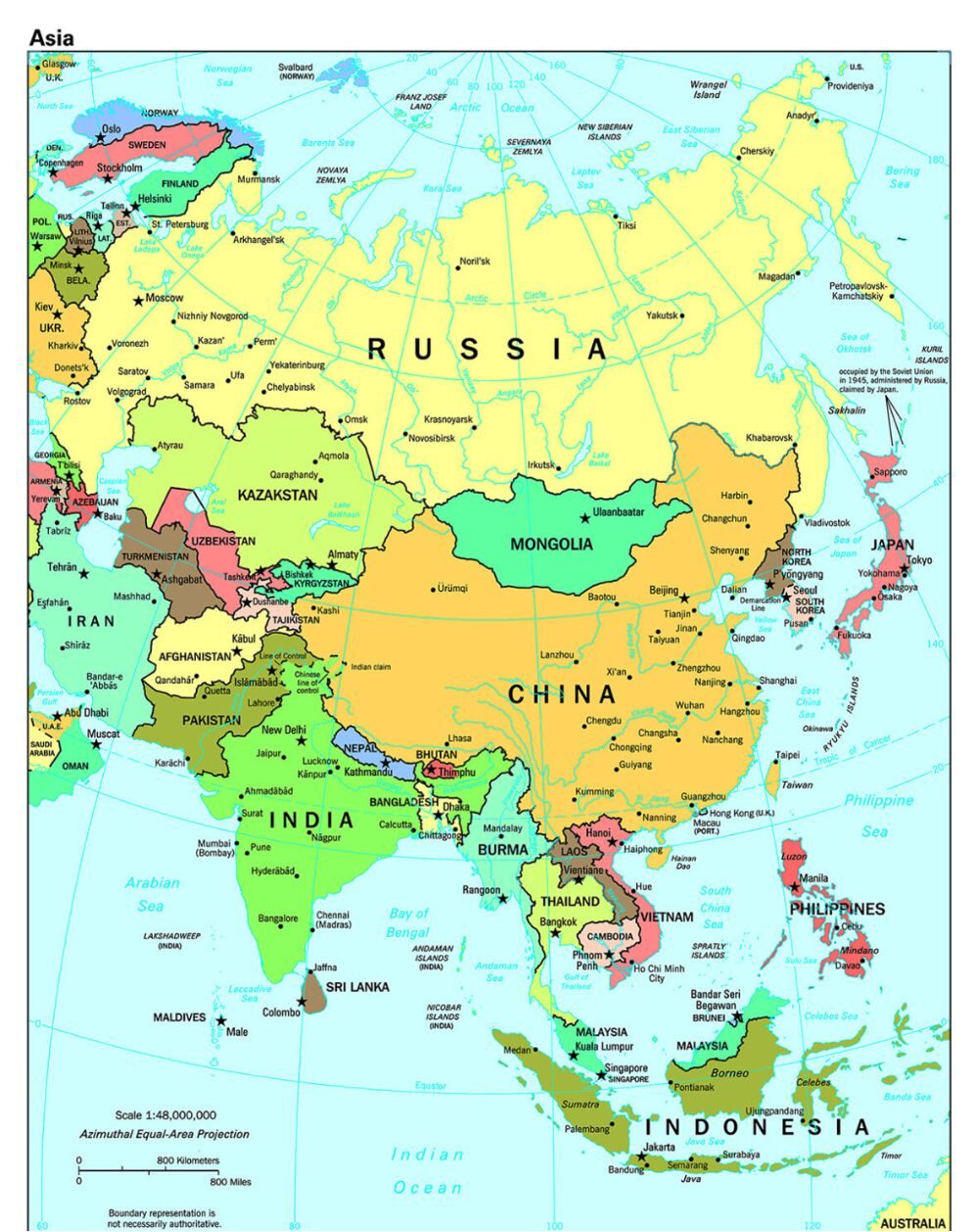
An Asia political Map displays diverse countries of the continent, highlighting their international borders, capital cities, and major urban centers. It usually shows the division of the continent into various regions such as East Asia, South East Asia, South Asia, Central Asia, West Asia (Middle East), and North Asia (Siberia).
Such maps are invaluable to understand the geopolitical landscape, detect national borders, and identify sovereign states, including the largest continent on Earth. They often include the surrounding oceans, seas, and important islands, which provide a comprehensive observation of the political geography of Asia.
Printable Asia Political Map
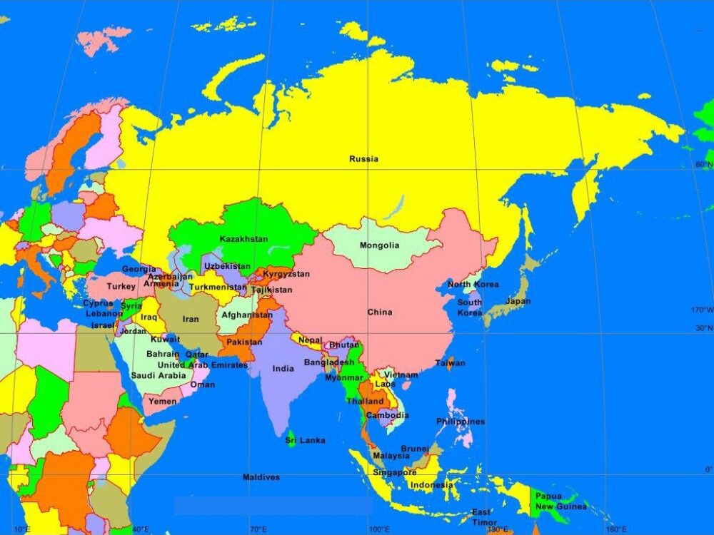
A Printable Asia Political Map is a convenient resource for educational or reference purposes. These maps usually have a clear outline of all Asian countries, which separates them with different colors. Major elements include the national capital and major cities, which are often marked with symbols for easy identification.
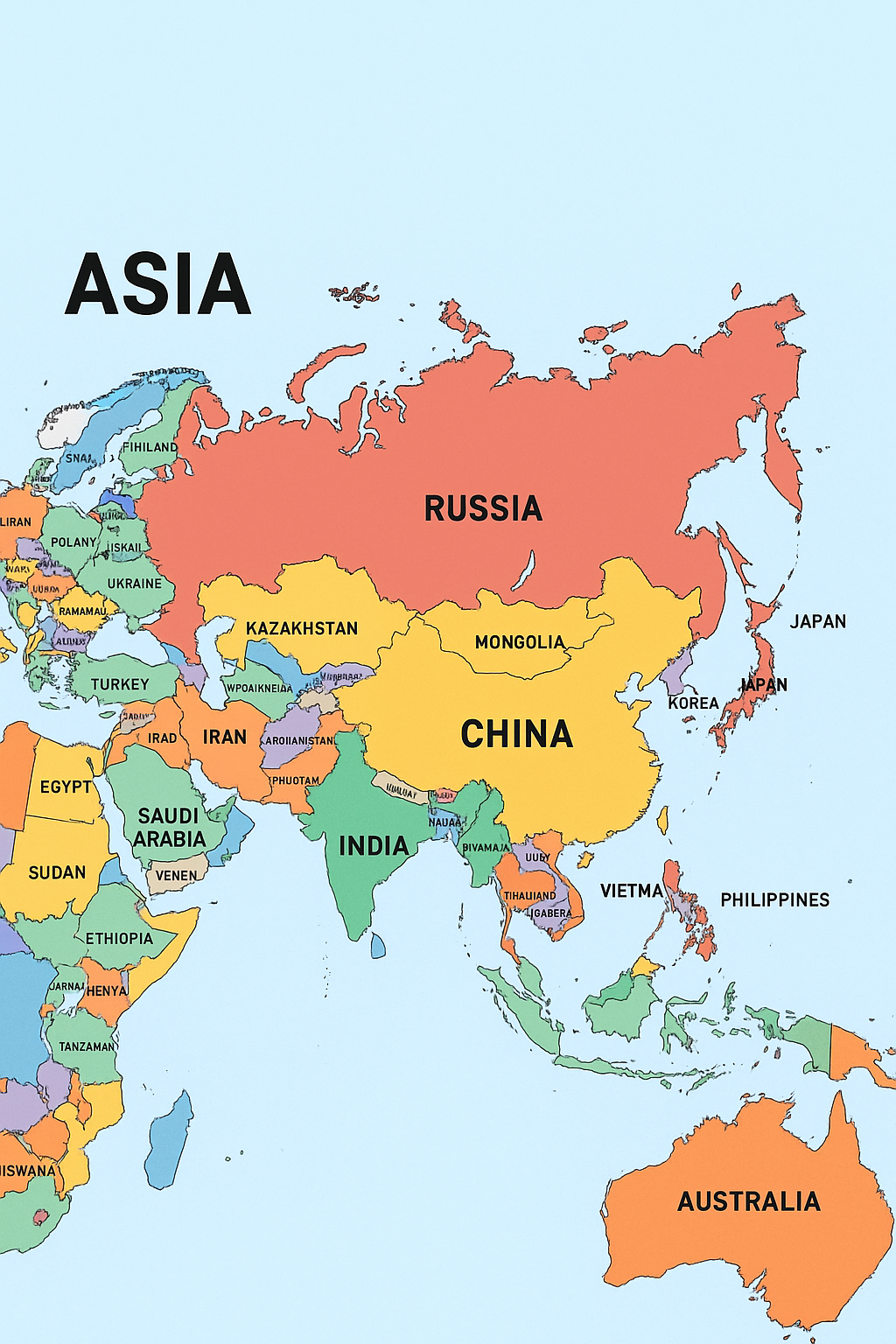
Rivers, lakes, and important mountain ranges may also be indicated to provide geographical references, but primary attention remains on political boundaries. Available in various formats such as PDF, they are designed for easy printing, which makes them ideal for classes, individual studies, or quick reference without the need for an internet connection. Some versions provide an empty outline for quizzes or labeling exercises.
| Country | Capital | Population (approx.) | Area (sq km) |
|---|---|---|---|
| China | Beijing | 1.41 billion | 9,596,961 |
| India | New Delhi | 1.40 billion | 3,287,263 |
| Indonesia | Jakarta | 278 million | 1,904,569 |
| Pakistan | Islamabad | 242 million | 881,913 |
| Bangladesh | Dhaka | 174 million | 147,570 |
| Russia* | Moscow | 146 million (partly in Asia) | 17,098,242 (whole) |
| Japan | Tokyo | 124 million | 377,975 |
| Philippines | Manila | 117 million | 300,000 |
| Vietnam | Hanoi | 99 million | 331,212 |
| Turkey* | Ankara | 86 million (partly in Asia) | 783,356 |
| Iran | Tehran | 89 million | 1,648,195 |
| Thailand | Bangkok | 70 million | 513,120 |
| Myanmar | Naypyidaw | 55 million | 676,578 |
| South Korea | Seoul | 52 million | 100,210 |
| Iraq | Baghdad | 44 million | 438,317 |
| Saudi Arabia | Riyadh | 36 million | 2,149,690 |
| Afghanistan | Kabul | 41 million | 652,230 |
| Uzbekistan | Tashkent | 36 million | 447,400 |
| Malaysia | Kuala Lumpur | 34 million | 330,803 |
| Nepal | Kathmandu | 31 million | 147,516 |
Map of Asia Political Labeled
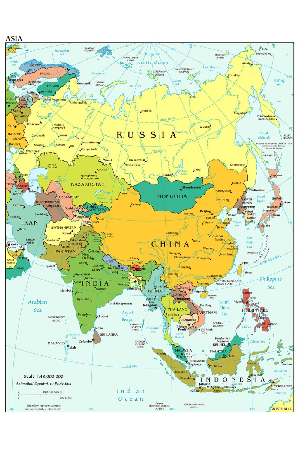
The Political Map with a label of Asia provides a clear and detailed visual representation of the geopolitical structure of the continent. It usually consists of the names of all sovereign countries, their capital cities, and often major administrative divisions or important urban centers.
These maps also demonstrate mainly international borders, often separating them with different colors or line styles for better clarity. Important geographical characteristics such as oceans, seas, and large lakes are also labeled, which helps users to understand the context of political boundaries. Such maps are essential tools required to identify and detect countries within education, international relations, and anyone within Asia.
![Blank Map of World [Free Printable Maps]](https://blankmapofworld.com/wp-content/uploads/2025/05/blank-map-logo-1.png)
