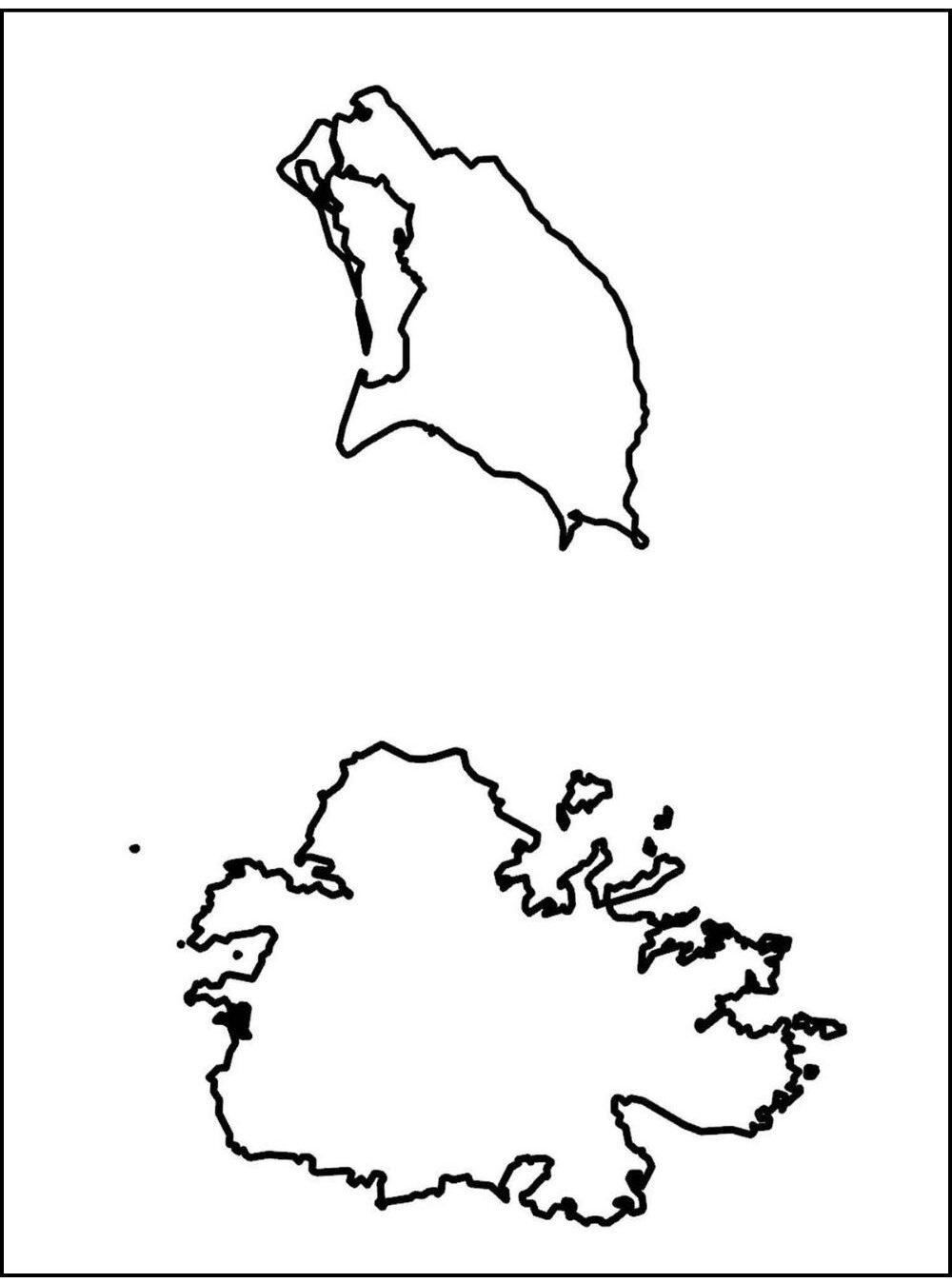
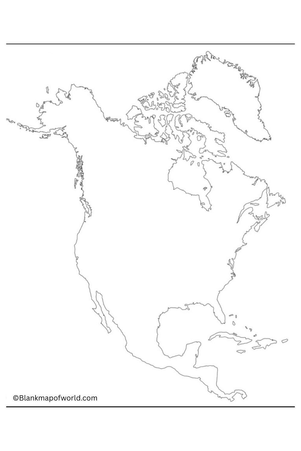
Blank Map of Antigua and Barbuda – Antigua and Barbuda serves as a valuable educational and reference tool. It represents the geographical outline of that island country with such clarity and simplicity that no letters or markings are necessary. This twin island nation is located on the eastern edge of the Caribbean Sea in Antigua and Barbuda. In addition, there are several tiny coral atolls.
The blank map enables the user to explore not only the physical shape but also the relative size and position within the Caribbean area of these various islands. Particularly useful to students, teachers, and researchers–a blank map could be your testing ground for geographic knowledge. Conduct spatial analysis. Or even make your data and mark it on the map for a unique result.
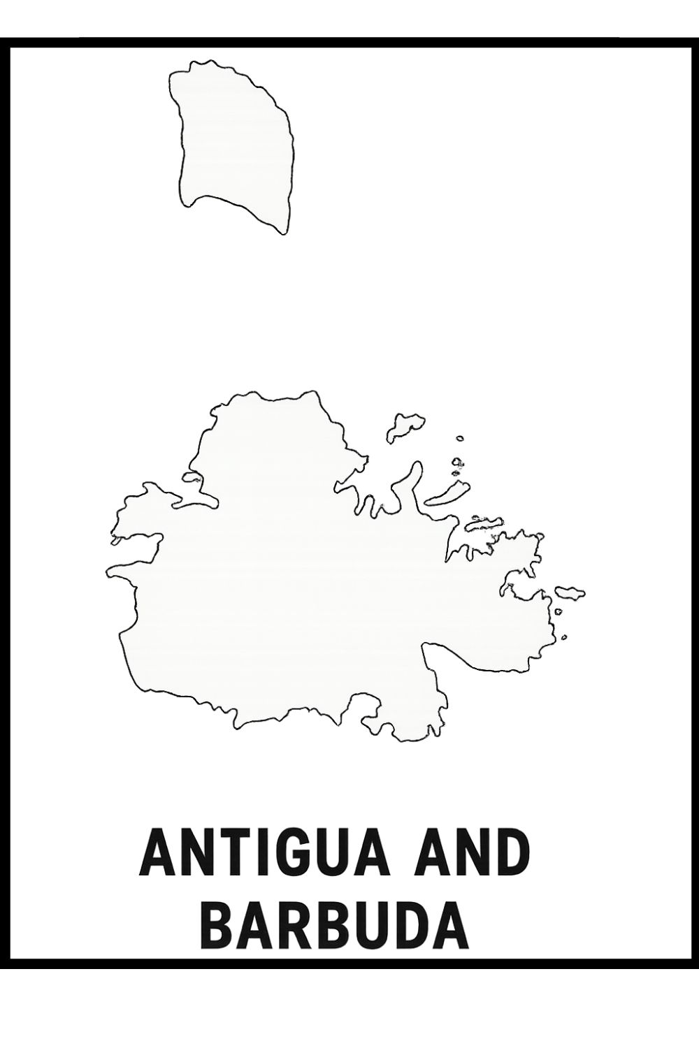
The larger of the two islands, Antigua, has many beaches and natural harbors; Barbuda is less heavily populated and covered in extensive coral reefs. Its wildlife reserves are internationally famed. As with many simple principles (including those of blank maps), a deeper understanding of the spatial layout of the country occurs and encourages active learning. For instance, textbooks can draw on such material with relief when they need to illustrate a location.
St. John’s, the capital, and the regional centers can be marked. Major roads and landmarks are outlined. Used in classrooms, tourist planning, or geographical studies, the blank map of Antigua and Barbuda may provide a versatile base for learning more about our unique and diverse country.
Free Blank Map of Antigua and Barbuda
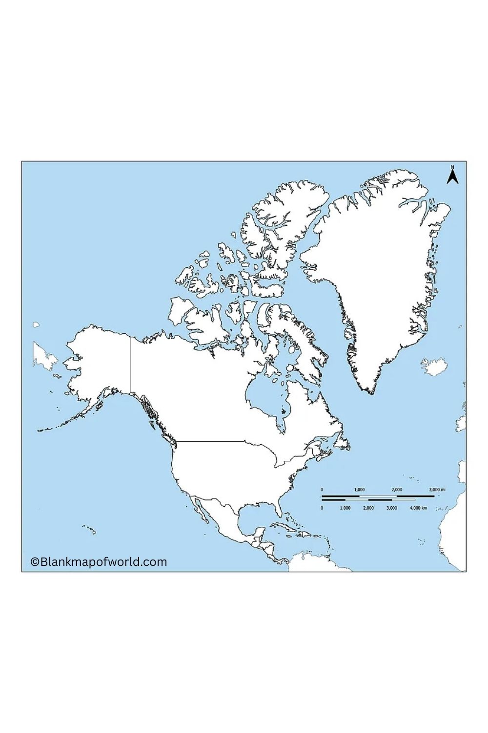
Antilles. The country is not only famous for its most beautiful beaches and the best chances of visiting coral reefs in the whole Caribbean, but also popular for its clear turquoise waters. That is Antigua, the largest of the two islands, and where the capital, St. John’s, is located. It plays host to a wealth of rich colonial history as well as its street culture. At the same time, though, more strikingly rural and peaceful Barbuda is known for its quiet pink sand beaches and as a bird sanctuary. The twin-island state of Antigua and Barbuda, which gained independence from Britain in 1981, is a member of the Commonwealth, having a parliamentary democracy and close ties with its Caribbean neighbors.
| No. | Parish/Dependency | Capital | Largest Settlement | Area (km²) | Population | Population Density (per km²) |
|---|---|---|---|---|---|---|
| 1 | Saint George | Fitches Creek | Piggotts | 24.41 | 8,055 | 329.99 |
| 2 | Saint John | St. John's | St. John's | 66.96 | 51,737 | 772.66 |
| 3 | Saint Mary | Old Road | Bolans | 63.55 | 7,341 | 115.16 |
| 4 | Saint Paul | Falmouth | Liberta | 45.27 | 8,128 | 179.54 |
| 5 | Saint Peter | Parham | All Saints | 32.37 | 5,325 | 164.50 |
| 6 | Saint Philip | St. Philip's | Willikies | 40.67 | 3,347 | 82.30 |
| 7 | Barbuda | Codrington | Codrington | 160.58 | 1,634 | 10.18 |
| 8 | Redonda | N/A | Uninhabited | 1.50 | 0 | 0 |
Blank Map of Antigua and Barbuda – worksheet
This worksheet is a breakdown of Antigua and Barbuda’s administrative districts, which include six parishes on Antigua, as well as two dependencies- Barbuda and Redonda. It gives the name of each division, what its capital and largest city are, square kilometers of area, population in thousands according to 2011 census calculations, as well as population density per square mile within highlight boxes.
Then we can observe in this worksheet the contrast between the showy,well-populated Saint John and Barbuda, and Redon, which has a few people at all. The division between more densely populated and less inhabited regions emerges as something living and breathing to our right before us, once more on screen for us at last.
This worksheet is a breakdown of Antigua and Barbuda’s administrative districts, which include six parishes on Antigua, as well as two dependencies- Barbuda and Redonda. It gives the name of each division, what its capital and largest city are, square kilometers of area, population in thousands according to 2011 census calculations, as well as population density per square mile within highlight boxes.
Then we can observe in this worksheet the contrast between the show,well-populated Saint John and Barbuda, and Redond, with few people at all. The division between more densely populated and less inhabited regions emerges as something living and breathing to our right, before once more on screen for us at last.
Transparent Antigua and Barbuda Map
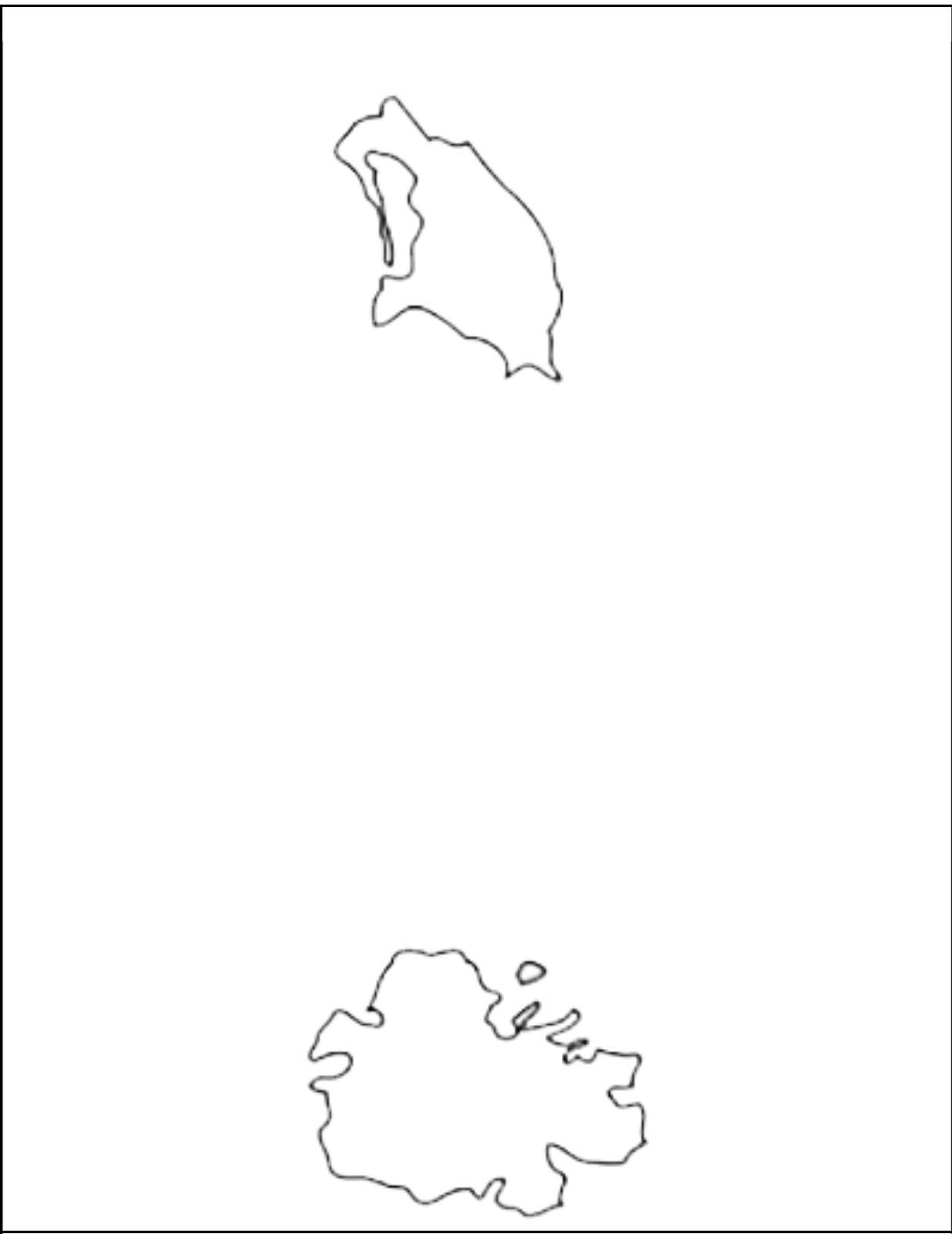
A transparent Antigua and Barbuda Map Caribbean has a clear, overlay-style representation of this twin-island nation. It exposes the geographical outline of the islands without any background, which makes the presentations, educational purposes and ideal for creative design projects. Transparent format allows easy integration in documents, websites, a nd graphic content.
It shows different shapes of Antigua, a large island, and Barbuda, with its small counterpart, and nearby islets. This type of map is useful for marking places while maintaining a clean and professional appearance suitable for various visual applications, planning travel routes, or painting geographical characteristics.
![Blank Map of World [Free Printable Maps]](https://blankmapofworld.com/wp-content/uploads/2025/05/blank-map-logo-1.png)
