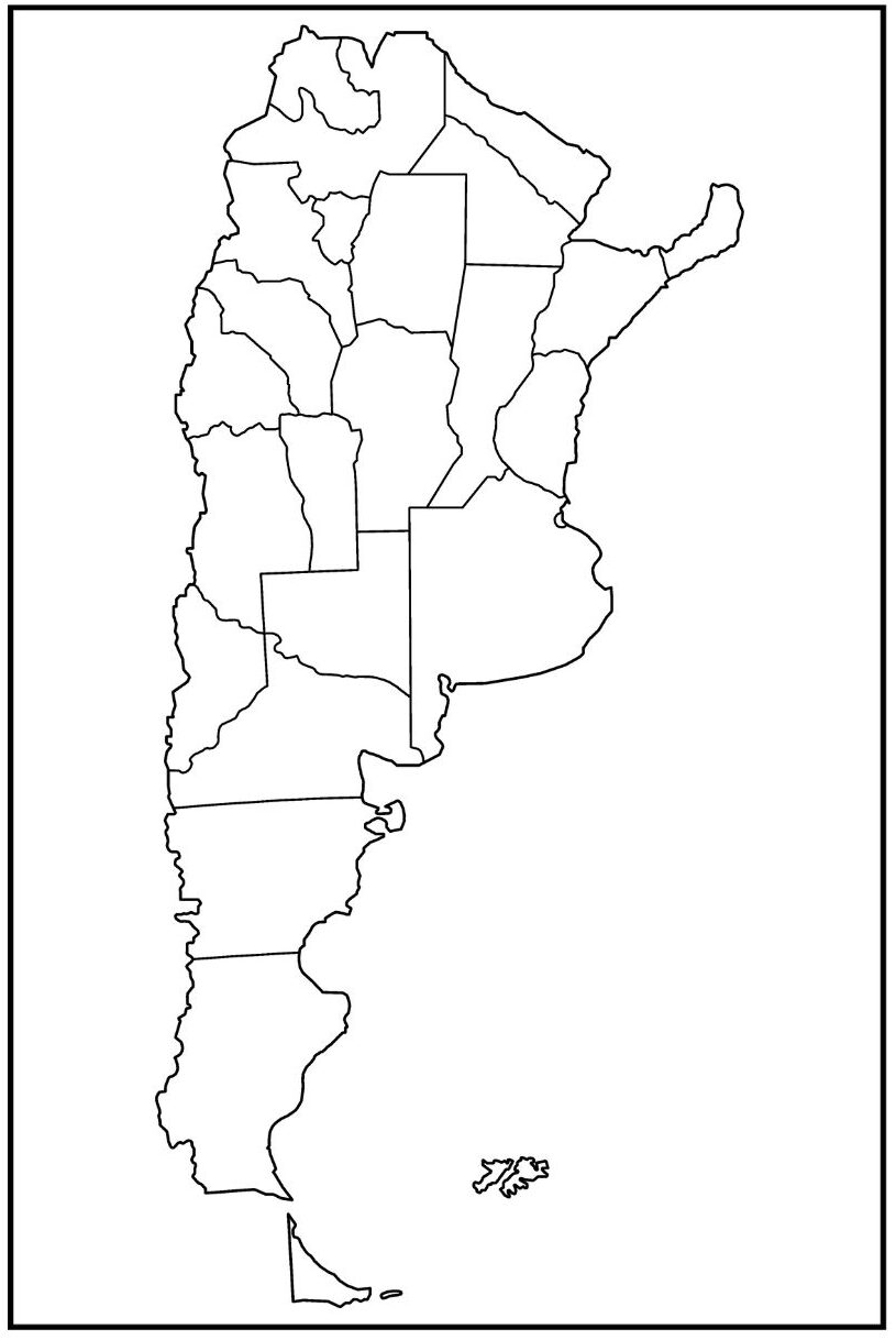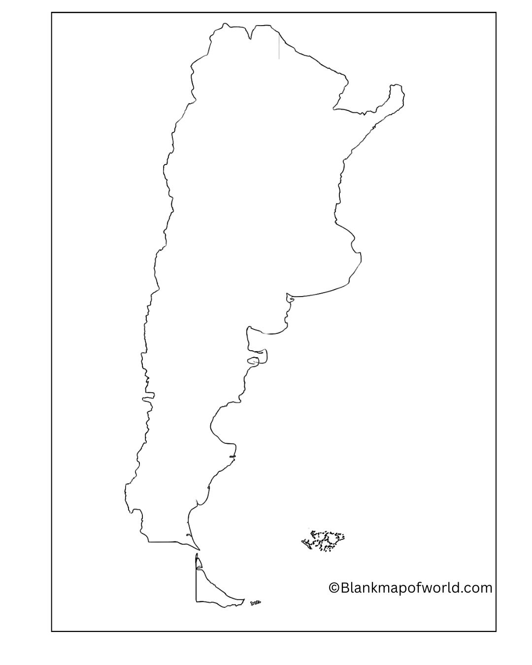
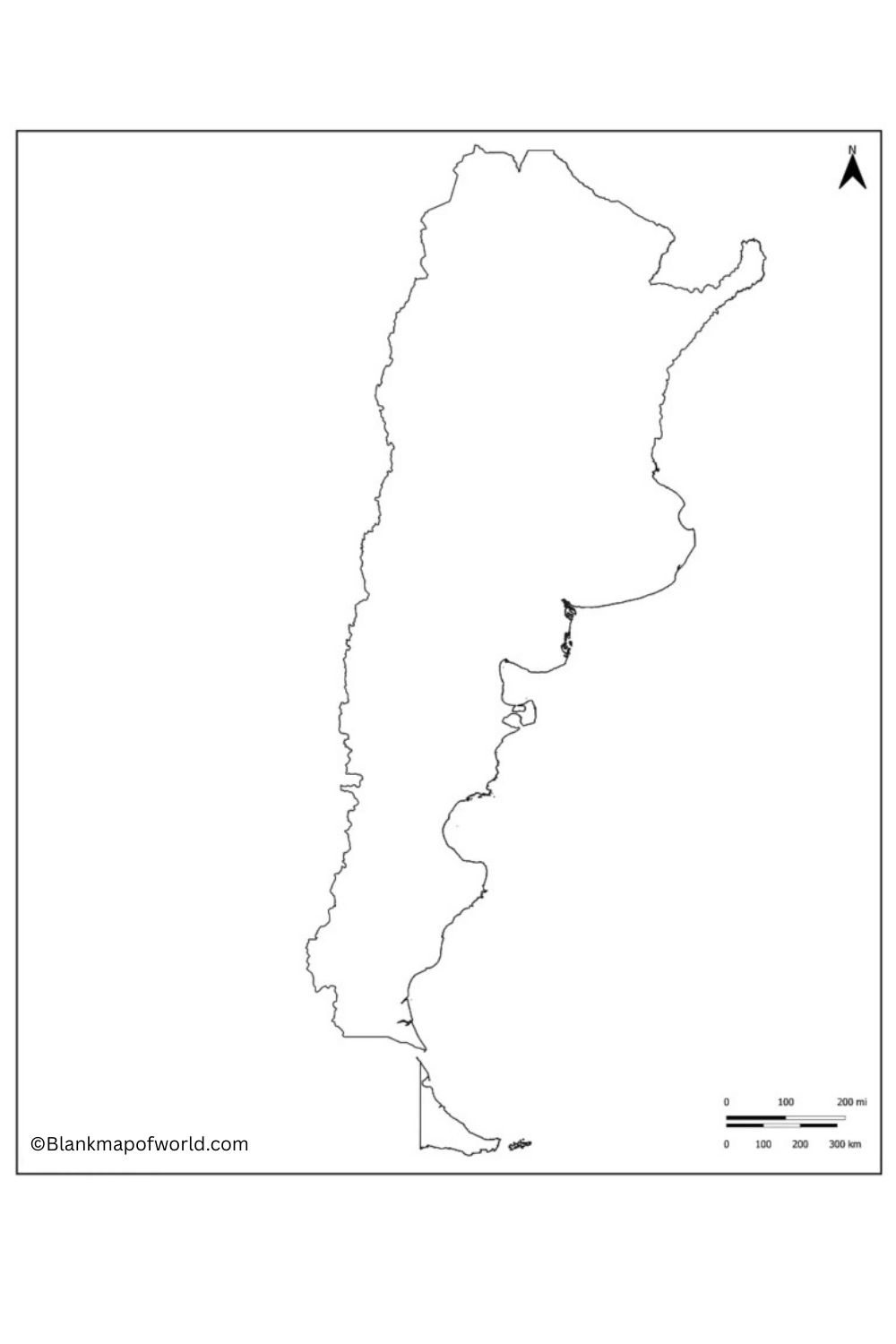
There is no information on the map, so anybody can place his/her information on the map. This comes out very handy in studying, in projects, or even for entertaining purposes, where you get to know more about Argentina in a very comfortable manner.
Free Blank Map of Argentina

Using a blank map, students or travelers can explore Argentina’s political divisions, including its 23 provinces and the autonomous city of Buenos Aires, by marking labels and details. This makes for an interactive experience, where people can mark on such things as big cities, and rivers like the Paraná and Uruguay, or point out particular landmarks—say, among others, Iguazú Falls located at the tri-border confluence of Brazil, Argentina, and Paraguay. A blank map can also be used to test geographical knowledge and train spatial intuition. Whether for academic purposes, as educational aids, or out of private interest, a blank map of Argentina is a truly very helpful tool aiding one’s grasp of that country’s anatomical structure and also its place within South America.
Blank Argentina Provinces Map
Here is a list of the 23 provinces of Argentina and their capital cities:
- Buenos Aires – La Plata
- Catamarca – San Fernando del Valle de Catamarca
- Chaco – Resistencia
- Chubut – Rawson
- Ciudad de Buenos Aires – Ciudad de Buenos Aires
- Cordoba – Cordoba
- Corrientes – Corrientes
- Entre Rios – Parana
- Formosa – Formosa
- Jujuy – San Salvador de Jujuy
- La Pampa – Santa Rosa
- La Rioja – La Rioja
- Mendoza – Mendoza
- Misiones – Posadas
- Neuquen – Neuquen
- Rio Negro – Viedma
- Salta – Salta
- San Juán – San Juán
- San Luis – San Luis
- Santa Cruz – Rio Gallegos
- Santa Fe – Santa Fe
- Santiago del Estero – Santiago del Estero
- Tierra del Fuego – Ushuaia
| Province / City | Capital City | Population (Approx.) | Region | |
|---|---|---|---|---|
| 1 | Buenos Aires (Province) | La Plata | 17,569,053 | Pampas |
| 2 | Catamarca | San Fernando del Valle | 429,556 | Northwest |
| 3 | Chaco | Resistencia | 1,142,963 | Northeast |
| 4 | Chubut | Rawson | 603,120 | Patagonia |
| 5 | Córdoba | Córdoba | 3,840,905 | Center |
| 6 | Corrientes | Corrientes | 1,197,553 | Northeast |
| 7 | Entre Rios | Parana | 1,426,426 | Pampas |
| 8 | Formosa | Formosa | 607,047 | Northeast |
| 9 | Jujuy | San Salvador de Jujuy | 797,955 | Northwest |
| 10 | La Pampa | Santa Rosa | 366,022 | Pampas |
| 11 | La Rioja | La Rioja | 383,865 | Northwest |
| 12 | Mendoza | Mendoza | 2,043,540 | Cuyo |
| 13 | Misiones | Posadas | 1,280,960 | Northeast |
| 14 | Neuquen | Neuquén | 726,590 | Patagonia |
| 15 | Río Negro | Viedma | 762,067 | Patagonia |
| 16 | Salta | Salta | 1,440,672 | Northwest |
| 17 | San Juan | San Juan | 818,234 | Cuyo |
| 18 | San Luis | San Luis | 540,998 | Cuyo |
| 19 | Santa Cruz | Río Gallegos | 337,226 | Patagonia |
| 20 | Santa Fe | Santa Fe | 3,556,522 | Pampas |
| 21 | Santiago del Estero | Santiago del Estero | 1,054,028 | Northwest |
| 22 | Tierra del Fuego | Ushuaia | 190,641 | Patagonia |
| 23 | Tucuman | San Miguel de Tucuman | 1,703,186 | Northwest |
| 24 | Buenos Aires (Autonomous) | Buenos Aires City | 3,120,612 | Capital District |
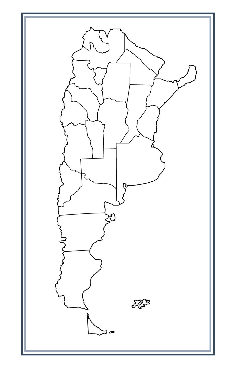
It contains many kinds of geographical varieties: western plains around Buenos Aires, Andes peaks, glaciers on the edge of Patagonia, and even at one time other parts of countries such as Paraguay and Bolivia. A map enables users to mark important features of the territory in a way that they find handy. The provinces, cities with major universities such as Buenos Aires University or the National University of La Plata, for example, and natural wonders, all can be highlighted in this manner. It is a great help to those who wish to know where something is. A blank map piques interest and stimulates thought on Argentina’s location and regional divisions, as well as drawing attention to such important features of the map as different provinces and districts.
Printable Map of Argentina – worksheet
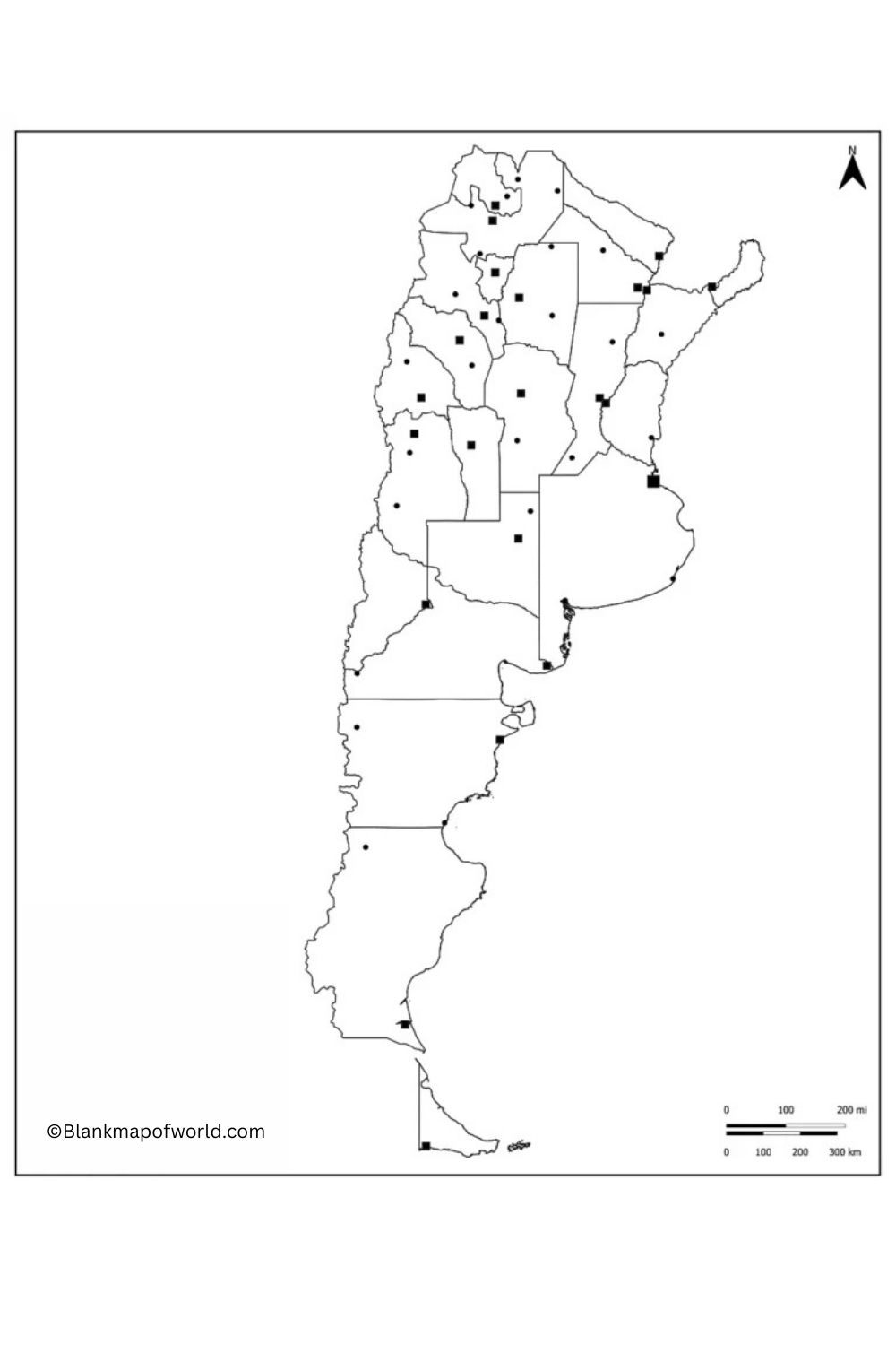
This worksheet contains an in-depth chart of the Argentinian provinces. What distinguishes it from other publications is detailing the province’s capital, the population (almost no decimals as it is possible to count), and the geographic region (to complete these data, infra the map below). It is an excellent tool for students, teachers, and geographers to learn more about explaining the in-classroom public demographic mainframe of Argentina.
Its clear format makes it suitable not only for map-labeling exercises in the seminar where public learning is not one’s only option, but also relates perfectly to use in classroom activities and homework. By studying this worksheet, users can gain a better understanding of population distribution, regional diversity, and important urban centers in Argentina. On both levels of geographic knowledge and spatial awareness, it enhances both by providing a clear overall picture together with more detailed information at all levels according to demand.

Blank Map of Argentina – Outline
Argentina Blank Map with Cities
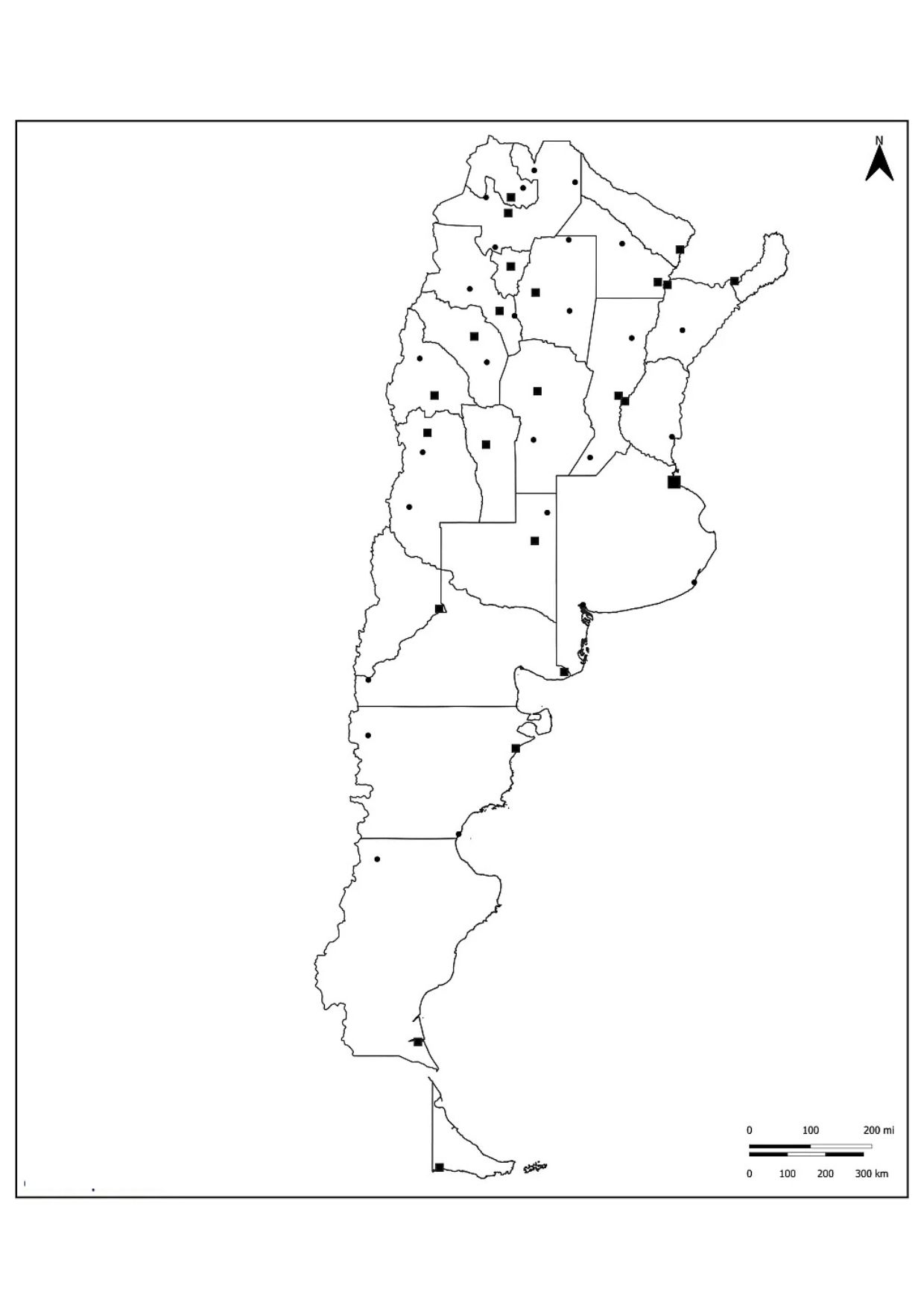
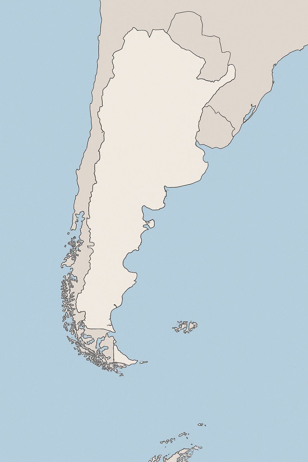
The Blank Map of Argentina with cities represents the country’s outline without blind internal administrative boundaries. Major urban centers such as Buenos Aires (Rajdhani), Cordoba, Rosario, and Mendoza are marked, which provides geographical reference points. These maps highlight the distribution of population and major hubs in various landscapes of Argentina, from the Andes to the Vizcachas Pampa and Patagonia in the west.
![Blank Map of World [Free Printable Maps]](https://blankmapofworld.com/wp-content/uploads/2025/05/blank-map-logo-1.png)
