Blank Map of Australia is a simple and vivid presentation of the country’s geographical distribution, illustrating its gigantic landmass but not identifying geographical landmarks, cities, or states. It is the sixth-largest country in the world by total area. Australia is a unique island continent surrounded by the Indian and Pacific Oceans. A blank map is an important tool for learning.
With a clean view, students, researchers, and tourists can fill in all of Australia’s key geographical features, including its states, territories, coastlines, and major landmarks, at leisure. It delineates the rough shape and size of Australia, with further cultivation to include its major external territories, such as Tasmania, in the southeast.
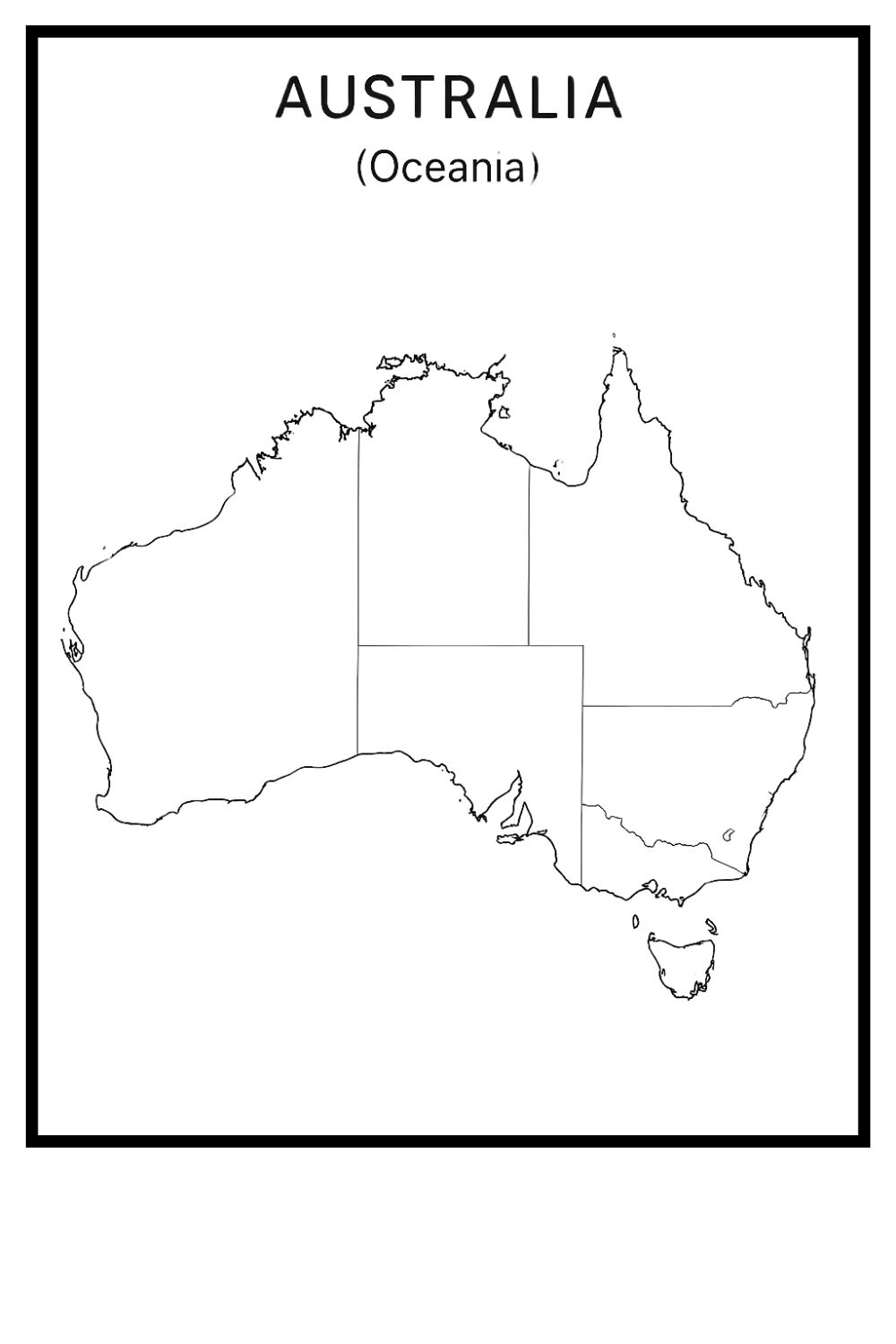
This map entices people to learn through publication. Users can demarcate political borders, investigate physical geography, or chart their journeys across the varied Australian landscape from the dry Outback to vibrant coastal cities, or from lush tropical rainforests on the cusp of deciduous forests.
Maps of this kind are very flexible in terms of application; since they lack specific data or topographical details, amateurs have many ways to adapt them for all sorts of other academic, cartographic, and art purposes. This map leads people to explore Australia at a deeper level and offers a multitude of exercises and quizzes, such as coloring exercises and spatial analyses, that help to support greater knowledge about the country.
Free Blank Map of Australia
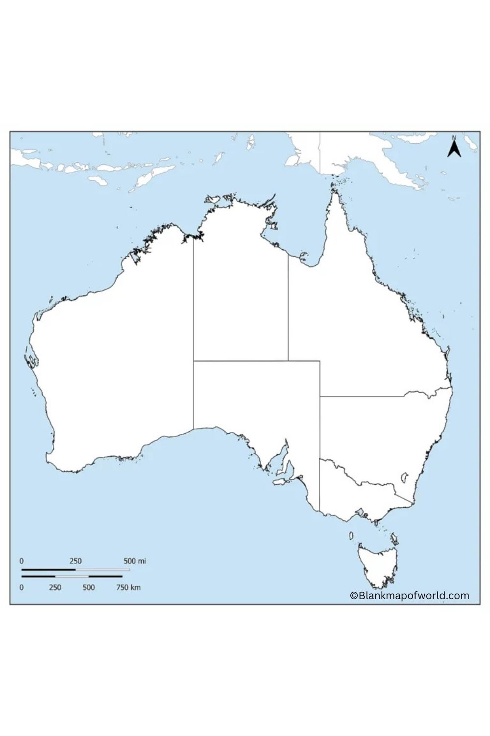
An Australian blank map with no labels is a great tool for both education and practical purposes. The shape of the Australian continent, with its six states and two major territories, plus surrounding waters, is shown without names or other particulars. This is the perfect map for learning geography — putting names to all the points of land and sea on your list map. Using such map types like this promotes interactive learning and imagination. It can be put to use in classrooms, quizzes, or travel planning quite a lot. The blank map helps users to better understand the dimensions of Australia, its location, and distribution.
| State/Territory | Population (Mar 2024) | % of National Population | Capital City |
|---|---|---|---|
| New South Wales | 8,469,600 | 31.2% | Sydney |
| Victoria | 6,959,200 | 25.6% | Melbourne |
| Queensland | 5,560,500 | 20.5% | Brisbane |
| Western Australia | 2,951,600 | 10.9% | Perth |
| South Australia | 1,873,800 | 6.9% | Adelaide |
| Tasmania | 575,700 | 2.1% | Hobart |
| Australian Capital Territory | 472,800 | 1.7% | Canberra |
| Northern Territory | 254,300 | 0.9% | Darwin |
Printable Blank Map of Australia – Worksheet
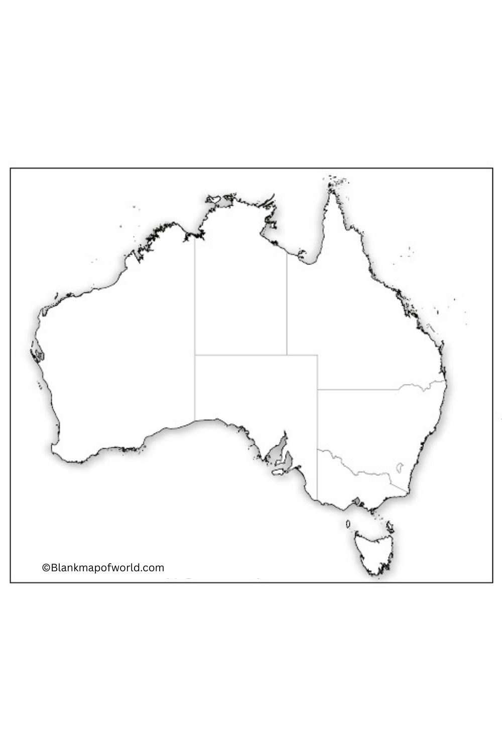
A blank map of Australia, the work sheet is an educational resource. It could let students learn about this country through geographic studies. It can also be used to identify and label the six states and two major territories, their capital cities, surrounding waters. The worksheet promotes interactive learning through tasks like coloring regions, marking landmarks, or tracing borders. This makes it an ideal resource for geography lessons, quizzes, and revision tasks. As learners interact with the map, their understanding of Australia’s layout becomes clearer. Therefore, there is a practical educational function to be gained both in classroom knowledge and for home learning.
Blank Map of Australia – Outline
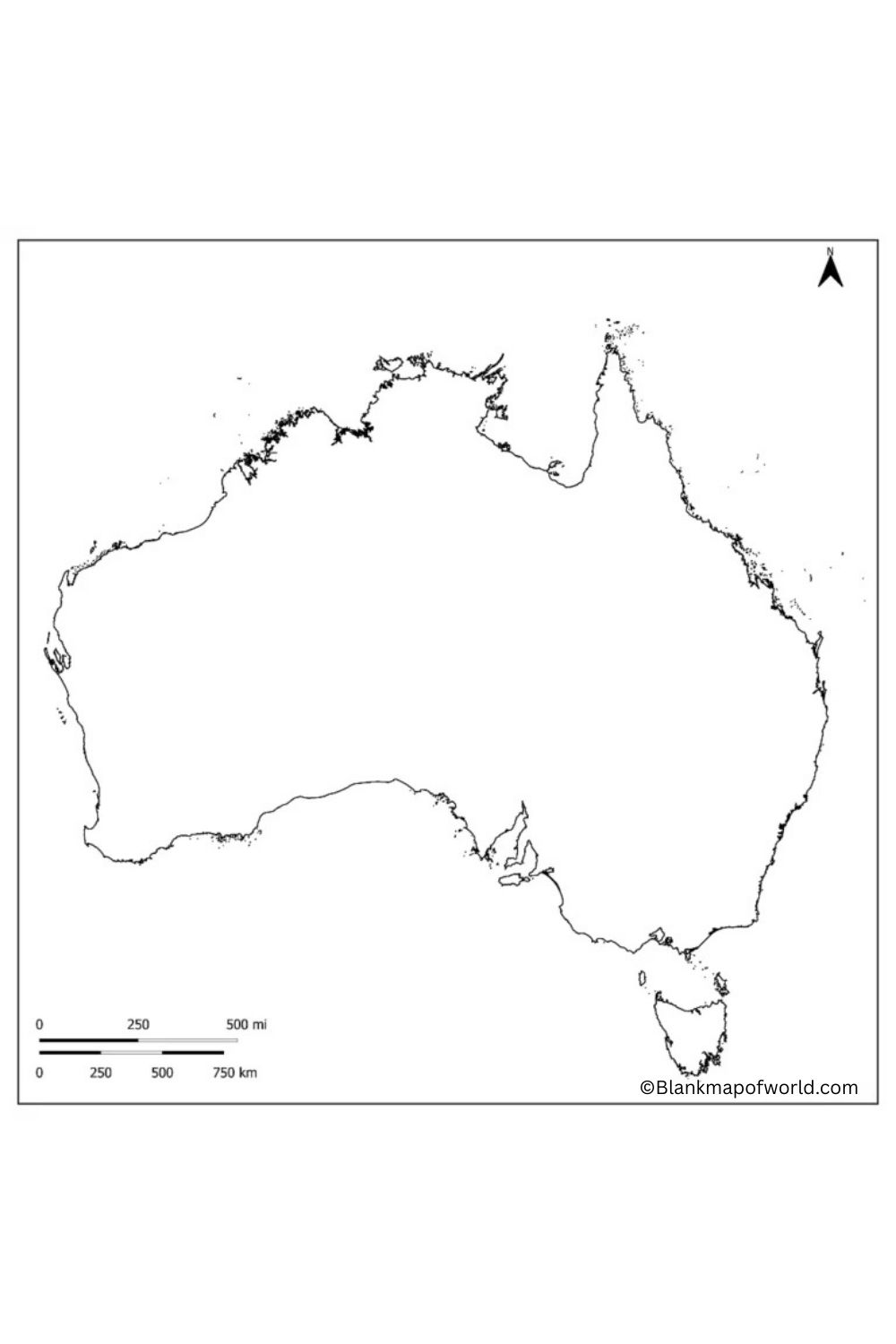
The outline map of Australia is a simplified representation that only shows the general location and borders, leaving out all other details. It shows the country’s extensive coastline, adjacent oceans, and mainland divisions, which include states rather than political boundaries, such as rivers or mountain ranges. This map is a versatile learning aid, ideal for geography lessons, labeling exercises, and student projects. It can be used in location marking, marking physical features, or with colored regions to help learn by association. With its simple design, students can become involved and achieve a greater understanding of the geography of Australia. Whether for use in lessons or private study in your room, an outline map makes learning visual and spatial.
Australia Map Outline with States and Capitals
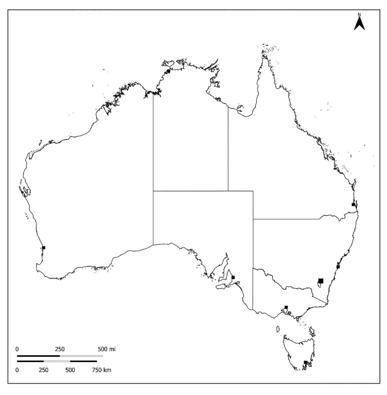
The Outline of the Australia Map with states and capitals clearly shows the country’s major divisions and important cities. This includes six states -New South Wales, Victoria, Queensland, South Australia, Western Australia, and Tasmania -Uttari region and the Australian Capital Region as well. Each state and region has been rolled for easy recognition of borders. The map also highlights major capitals including Canberra, Sydney, Melbourne, Brisbane, Perth, Adelaide, Darwin, and Hobart. This map is ideal for learning, travel reference, and a better understanding of Australia’s political fields and geographical layout.
Blank Australia Map with Cities

The Map of Blank Australia with Cities provides a simplified view of the country, which exposes major urban areas without additional details such as terrain or political borders. It shows places in major cities such as Sydney, Melbourne, Brisbane, Perth, Adelaide, Darwin, Canberra, and Hobart. This type of map is useful to mark educational activities, geography practice, and specific places. Its clean, uncontrolled design makes students, travelers, or researchers to easily identify and label important Australian cities.
![Blank Map of World [Free Printable Maps]](https://blankmapofworld.com/wp-content/uploads/2025/05/blank-map-logo-1.png)