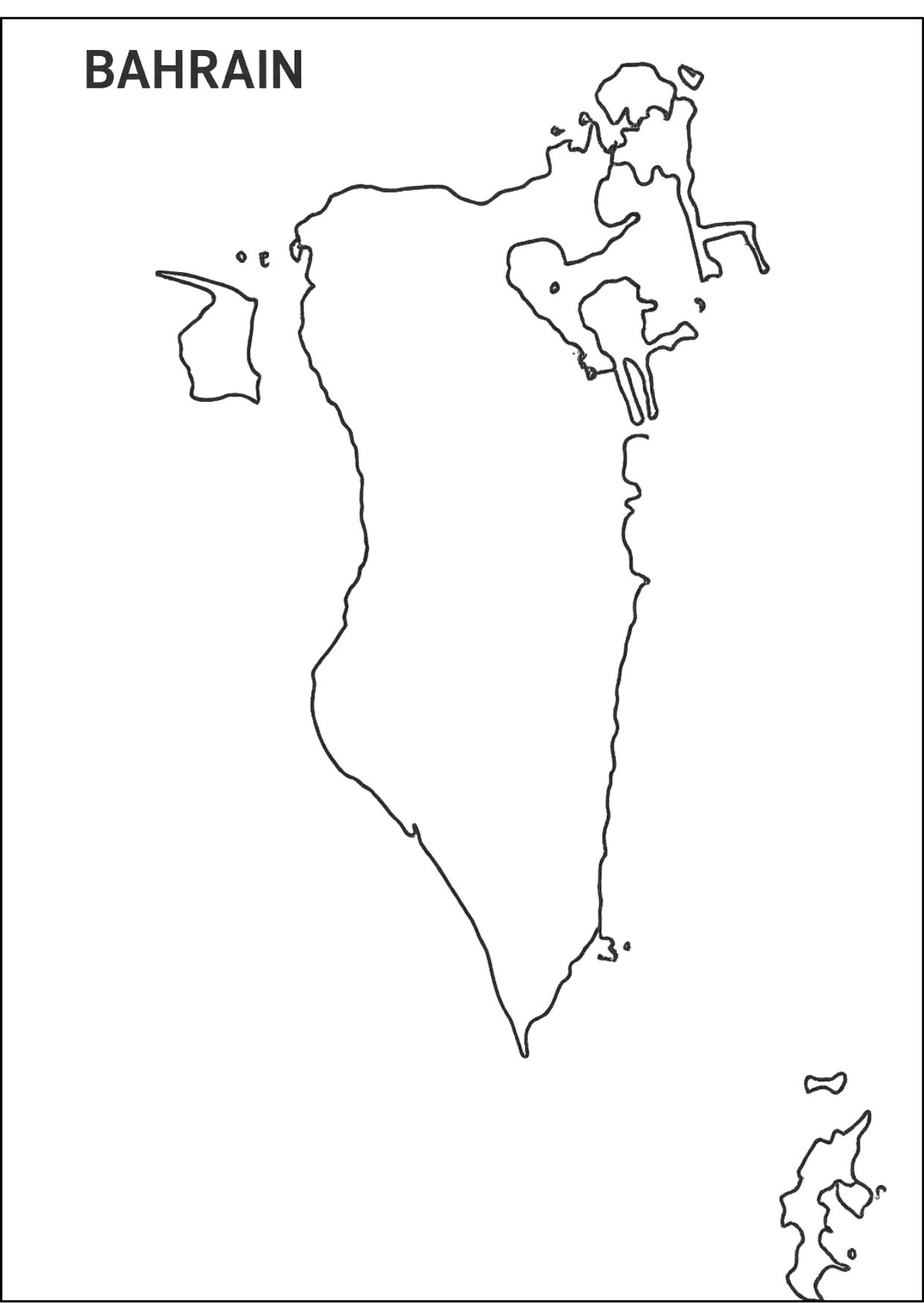
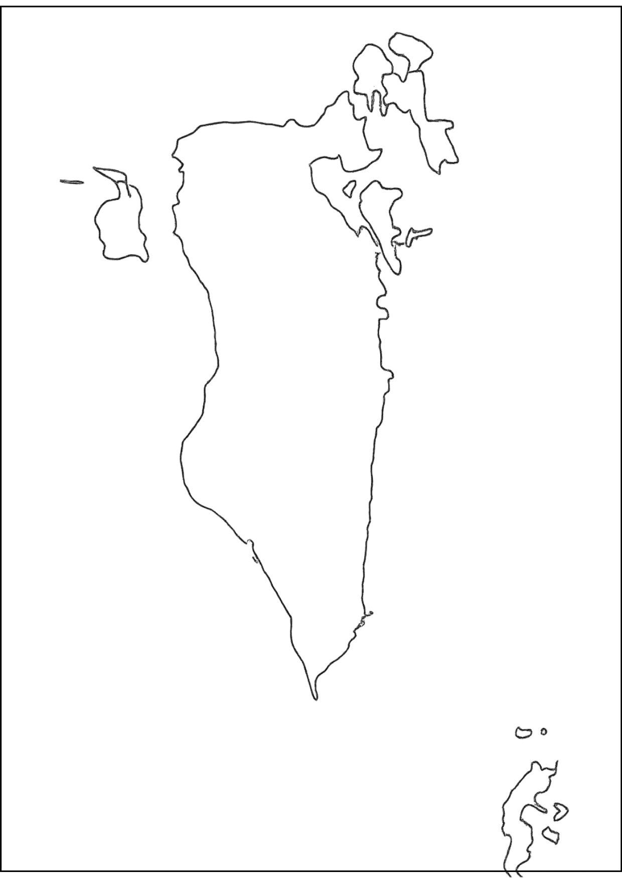
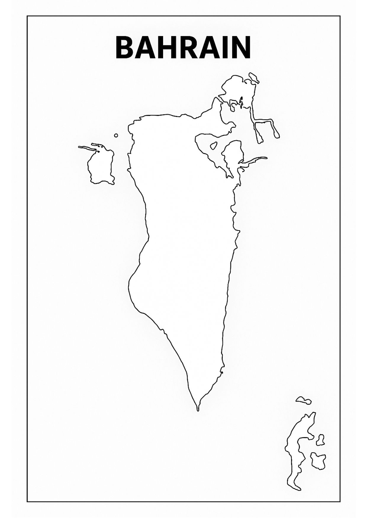
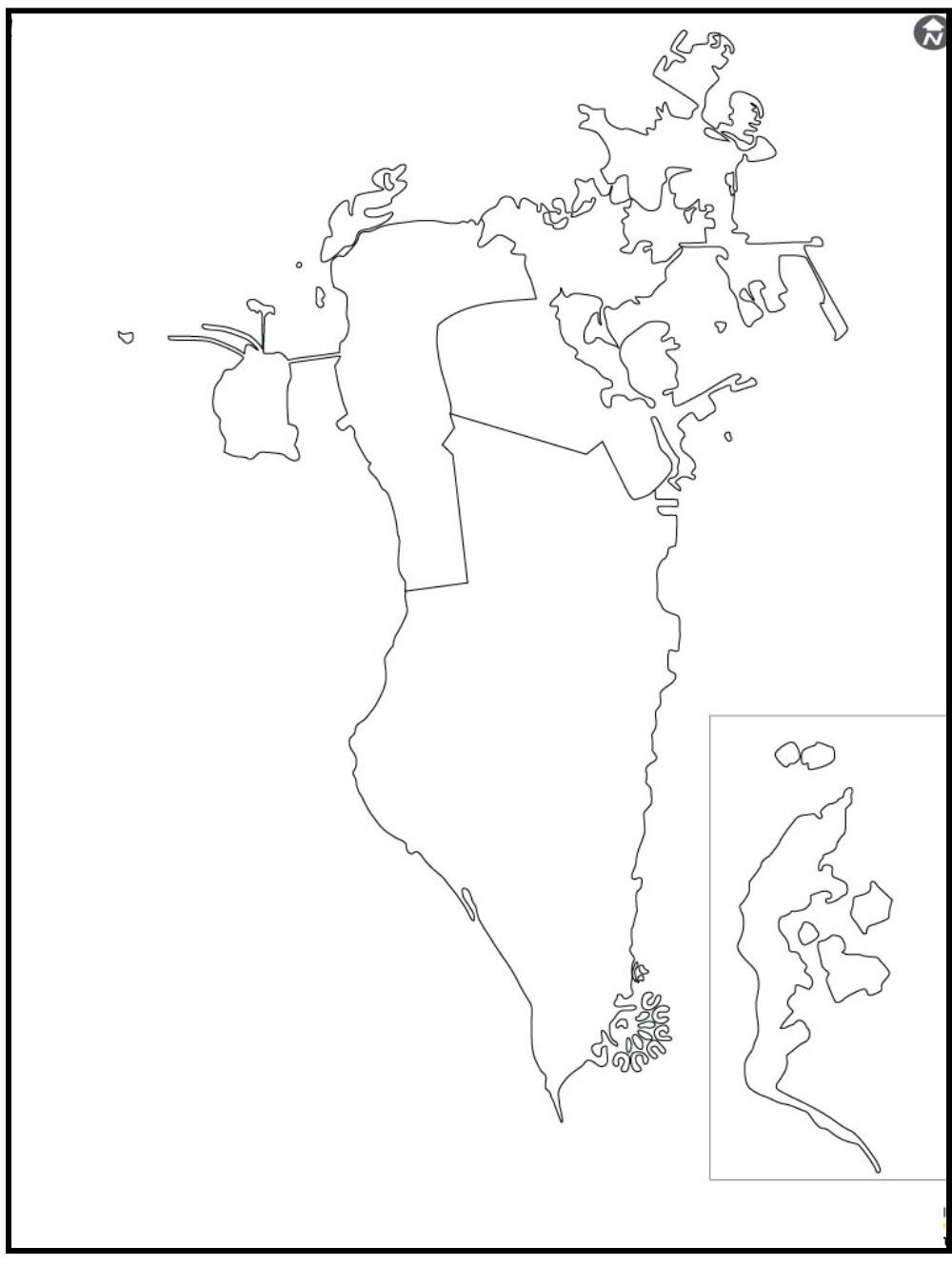
A simple map would be a Blank map of Bahrain, which only displays the shape of the country and its islands without any names, labels, or details on the map. Bahrain is a tiny cluster of islands in the Persian Gulf, near Saudi Arabia and Qatar, and a blank map will help you see where it is and how it is spread out. On blank maps, people study the country, such as the location of the cities, towns, or coasts, or label places on their own.

It also comes in handy when students in school need practice, quizzes, or projects. It can be used by even those who are traveling or studying in the country more. To put it in a word, a map of Bahrain with no details in it is a simple and helpful resource that can be used by everyone who wants to learn the geography of the country in a straightforward, uncomplicated manner.
Related Post:
- Blank Map of Belgium
- Blank Map of Chile
- World Religion Map
- World River Map
- World Temperature Map
- World Time Map
- World Population Map
- Blank Map of Armenia
- Blank Map of Andorra
Free Blank Map of Bahrain

This is a blank map of Bahrain, where the tiny island nation in the Persian Gulf is quite distinct. On it you the main island of Bahrain and its small surrounding islands are shown, such as Muharraq and Sitra. Compact geography is the focus here; the country is sandwiched between Saudi Arabia and Qatar.
No labels make it useful as a teaching tool for geographical boundaries, island groups, and learning some basic general information. Bottom of Form. For classroom activities or research, the blank map allows users to study Bahrain’s location on a global scale. Coasts and layout. It provides a simple but effective means for analyzing the nation’s geographic character with regional collaboration.
| Governorate | Area (km²) | Population (2020) | Population Density (per km²) | Key Cities/Towns |
|---|---|---|---|---|
| Capital | 78.71 | 548,345 | ~6,967 | Manama, Jid Ali, Ras Rumman |
| Northern | 145 | 379,637 | ~2,619 | Hamad Town, A'ali, Budaiya, Diraz |
| Southern | 488.85 | 305,547 | ~625 | Riffa, Awali, Zallaq, Hawar Islands |
| Muharraq | 64.8 | 268,106 | ~4,137 | Muharraq, Al Hidd, Arad, Busaiteen |
Printable Blank Map of Bahrain

It was designed as a supplementary learning tool for students and geography teachers. This environmental map shows Bahrain, the main island. Its simplicity allows users to actively participate in learning the names of cities and governorates. The map island has been named forward, and cities are simply painted onto the map. Its simplicity and user-friendliness make it highly suited for quizzes, regional studies, and political or physical atlas exercises. Such simplicity encourages hands-on exploration of how Bahrain is laid out, what it looks like, and where exactly it is located within the Persian Gulf. Suitable for class study or self-study at home, the use of this worksheet will further develop map-reading skills and deepen knowledge about Bahrain’s geography.
Blank Map of Bahrain Outline

The outline map of Bahrain offers the same map without the titles and symbolic representational signs present in a general topographic survey map, It only focuses on the country’s shape as well as its boundaries.
This blank map shows that Bahrain is an island archipelago in the Persian Gulf. From the main island to all its small satellites and between. However, it may come in handy as a resource for education and training. After all, you can mark such important landmarks as towns, governorates
You can cover a wide range of topics with the outline format. Anything from map labeling exercises and quizzes to geography lessons on specific regions by this means it is a spectacular microcomputer, providing the answers to spatial puzzles about Bahrain, as well as its regional relations with the other countries around.
![Blank Map of World [Free Printable Maps]](https://blankmapofworld.com/wp-content/uploads/2025/05/blank-map-logo-1.png)
