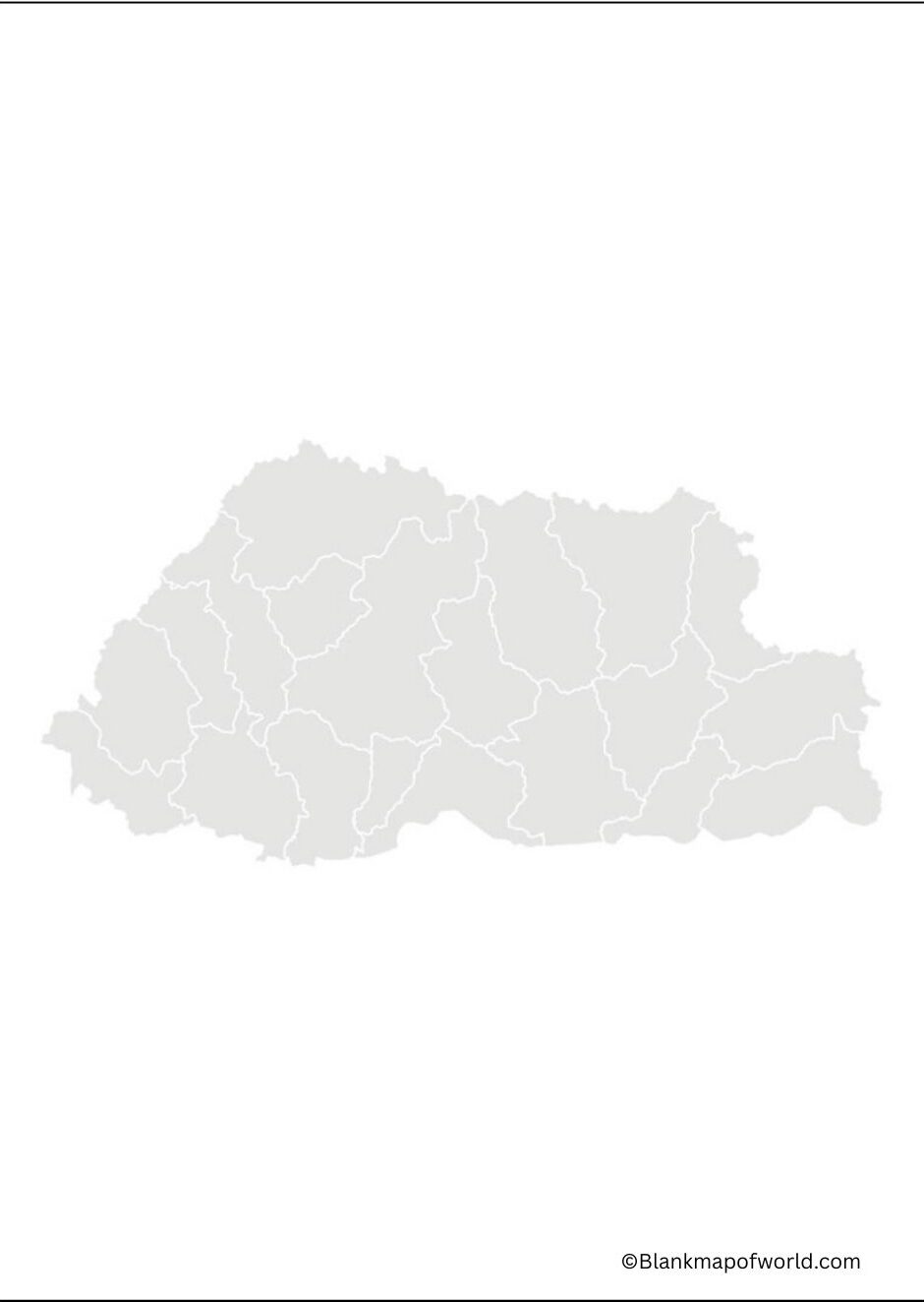
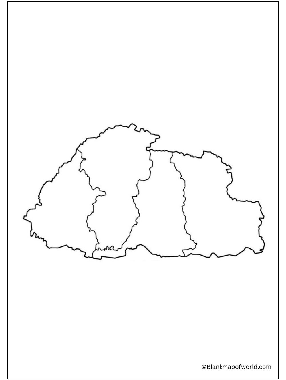
A Blank Map of Bhutan is a sketch map without any location, name, or details, which illustrates the geographical profile and map frontier of the country. It is a very effective learning, teaching, and practicing tool in an easy and interactive manner, as far as geography is concerned. It could be used in classrooms by the students to mark the important cities, rivers, mountains, or landmarks on the blackboard and by the teachers in the form of quizzes and assignments.
Table of Contents
Free Blank Map of Bhutan

An empty map can also serve the purpose of travelers, researchers, and learners as to where Bhutan is and what other nations are its neighbors. There is no pre-printing information, so one can add details according to the requirement, making it versatile both for educational references and personal uses. A blank map of Bhutan comes in handy in terms of school projects, especially on Bhutan competitiveness exam preparations and general knowledge. It promotes active learning and makes geography fascinating, as well as easy to comprehend.
| Bumthang | Jakar | 2,667 | 17,820 | |
|---|---|---|---|---|
| Chhukha | Chukha | 1,880 | 68,966 | |
| Dagana | Dagana | 1,713 | 24,965 | |
| Gasa | Gasa | 2,951 | 3,952 | |
| Haa | Haa | 1,905 | 13,655 | |
| Lhuentse | Lhuentse | 2,851 | 14,437 | |
| Mongar | Mongar | 1,940 | 37,150 | |
| Paro | Paro | 1,287 | 46,316 | |
| Pemagatshel | Pemagatshel | 1,022 | 23,632 | |
| Punakha | Punakha | 1,110 | 28,740 | |
| Samdrup Jongkhar | Samdrup Jongkhar | 1,877 | 35,079 | |
| Samtse | Samtse | 1,256 | 62,590 | |
| Sarpang | Sarpang | 1,655 | 46,004 | |
| Thimphu | Thimphu | 1,792 | 138,736 | |
| Trashigang | Trashigang | 2,198 | 45,518 | |
| Trashiyangtse | Trashiyangtse | 1,447 | 17,300 | |
| Trongsa | Trongsa | 1,814 | 19,960 | |
| Tsirang | Damphu | 638 | 22,376 | |
| Wangdue Phodrang | Wangdue Phodrang | 3,977 | 42,186 | |
| Zhemgang | Zhemgang | 2,416 | 17,763 |
Printable Blank Map of Bhutan

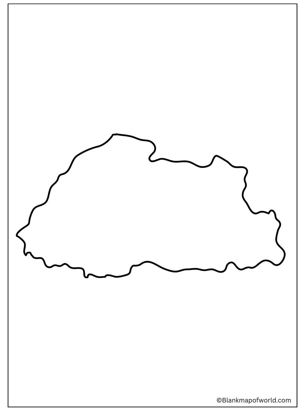
Printable blank map of Bhutan is a basic outline map, which features the shape of a country and its borders, but nothing more: no labels, no details, etc. It is one of the best sites that students, teachers, and learners can use in studying the geography of Bhutan in a comfortable manner. One can print this kind of map, use it in school work, quizzes, practice, such as circling the cities, rivers, and mountains. It also assists the travelers researchers on the location of Bhutan and the surrounding nations. The map is in its blank form, hence any user can use the map to write or even draw on it as required, and therefore isng flexible, interactive, and an interactive way of learning geography.
Outline Map of Bhutan

Outline Map of Bhutan is a basic map presenting the general outline and boundary of a country without names or labels, or supplementary information. It is predominantly used to learn, teach, and practice. On it, students can put marks that identify essential places, including Thimphu, the river, and the mountains, as well as the neighboring countries.
Assignments, quizzes, and projects are easily featured in schools by the master therapists. The outline map can also be applied by the traveler as well as the researcher who would like to know the location of Bhutan in Asia. It is simple and flexible; therefore, it can be personalized to a wide range of applications. Hence, geography is interactive and easy.
![Blank Map of World [Free Printable Maps]](https://blankmapofworld.com/wp-content/uploads/2025/05/blank-map-logo-1.png)