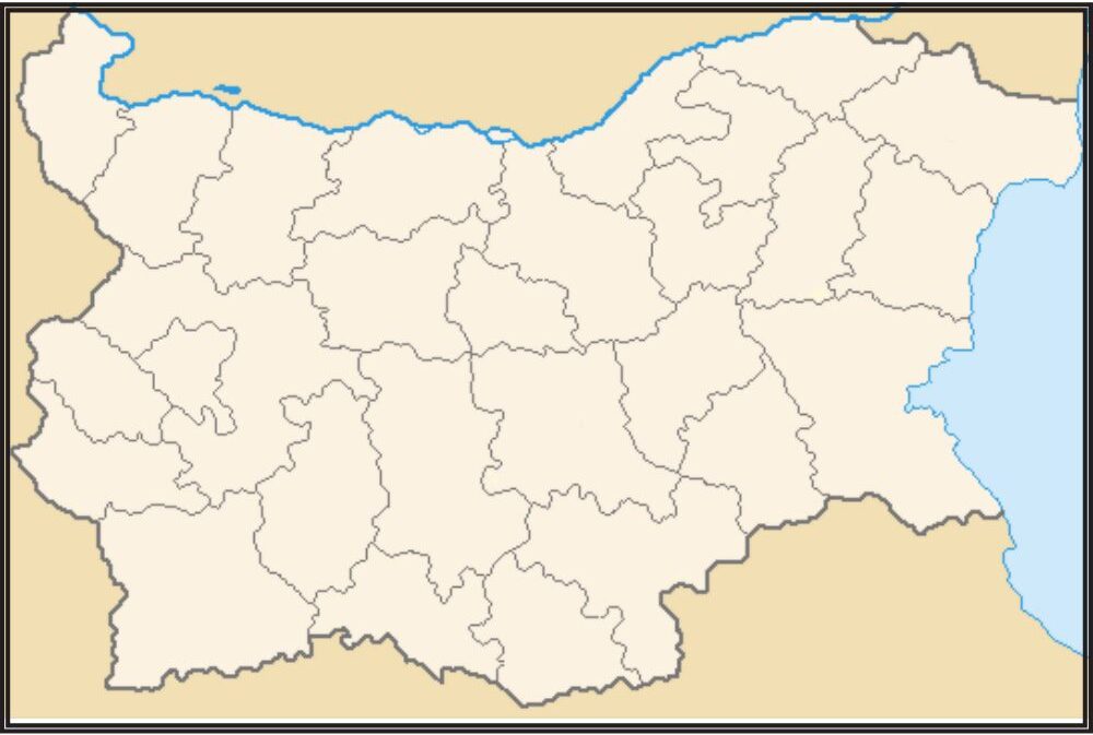
A blank map of Bulgaria can serve as a simplified reproduction of the country’s shape, without any bordering regions laid down or named. In Southeastern Europe, on the Balkan Peninsula, Bulgaria is surrounded by Romania to its north; Serbia/North Macedonia (formerly Yugoslavia but today two states) to its west; Greece and Turkey in southern directions; and the Black Sea off the coast in the Eastern direction.
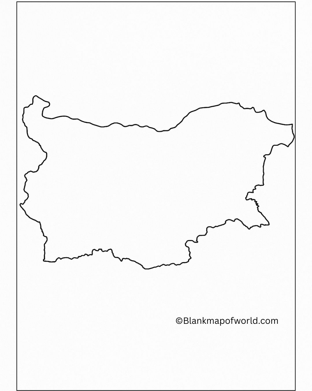
A blank map is a useful educational tool for students, scholars, and anyone who wants to get an introductory glimpse of this new terrain, without being distracted by place names or political boundaries visible on it. It can also be used to test one’s knowledge about regions, rivers, mountains, or cities in Bulgaria, or it can be used as an individualized map for school and professional journey uses.
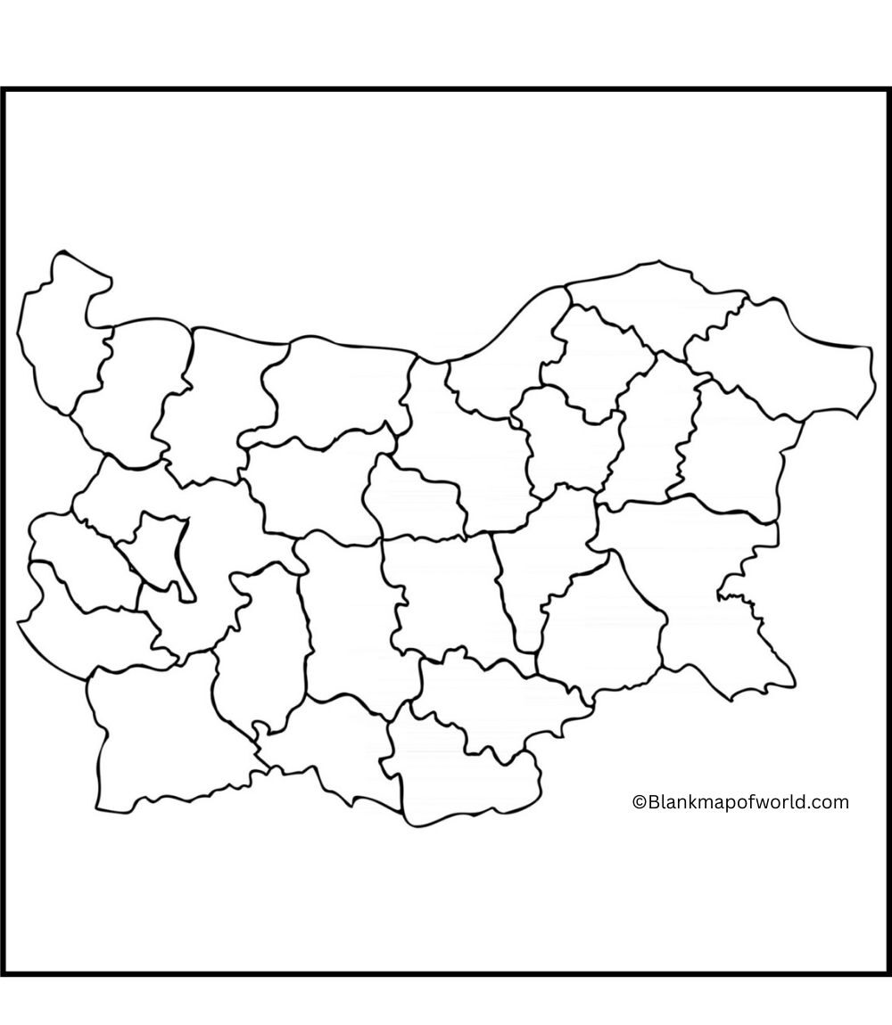
Free Blank Map of Bulgaria with Provinces
| Province (Oblast) | Capital City | Population (Approx.) | Area (km²) | Notes |
|---|---|---|---|---|
| Blagoevgrad | Blagoevgrad | 290,000 | 6,449 | Located in southwestern Bulgaria |
| Burgas | Burgas | 410,000 | 7,748 | Coastal province on the Black Sea |
| Dobrich | Dobrich | 160,000 | 4,719 | Known for agriculture |
| Gabrovo | Gabrovo | 105,000 | 2,023 | Central region with mountain terrain |
| Haskovo | Haskovo | 210,000 | 5,543 | Borders Greece and Turkey |
| Kardzhali | Kardzhali | 150,000 | 3,209 | Ethnically diverse population |
| Kyustendil | Kyustendil | 120,000 | 3,084 | Close to the western border |
| Lovech | Lovech | 120,000 | 4,128 | North-central Bulgaria |
| Montana | Montana | 130,000 | 3,635 | Northwestern region |
| Pazardzhik | Pazardzhik | 250,000 | 4,456 | Agricultural and mountainous areas |
| Pernik | Pernik | 110,000 | 2,390 | Near Sofia, industrial heritage |
| Pleven | Pleven | 240,000 | 4,653 | Historical city in the north |
| Plovdiv | Plovdiv | 670,000 | 5,972 | Second most populous province |
| Razgrad | Razgrad | 115,000 | 2,639 | Northeast region with mixed population |
| Ruse | Ruse | 200,000 | 2,803 | Danube River port city |
| Shumen | Shumen | 170,000 | 3,390 | Historical and cultural region |
| Silistra | Silistra | 100,000 | 2,846 | Northeastern border province |
| Sliven | Sliven | 180,000 | 3,544 | Known for textile industry |
| Smolyan | Smolyan | 100,000 | 3,192 | Rhodope Mountains, scenic region |
| Sofia-City | Sofia | 1,300,000 | 1,348 | Capital and largest city |
| Sofia Province | Sofia (not city) | 230,000 | 7,059 | Surrounds Sofia-City |
| Stara Zagora | Stara Zagora | 320,000 | 5,151 | Industrial and cultural hub |
| Targovishte | Targovishte | 110,000 | 2,558 | Agricultural region |
| Varna | Varna | 470,000 | 3,820 | Major port city on the Black Sea |
| Veliko Tarnovo | Veliko Tarnovo | 220,000 | 4,662 | Historic capital of the Second Empire |
| Vidin | Vidin | 80,000 | 3,032 | Northwestern, along the Danube |
| Vratsa | Vratsa | 160,000 | 3,619 | Diverse terrain, including mountains |
| Yambol | Yambol | 115,000 | 3,355 | Southeastern region near Turkey |
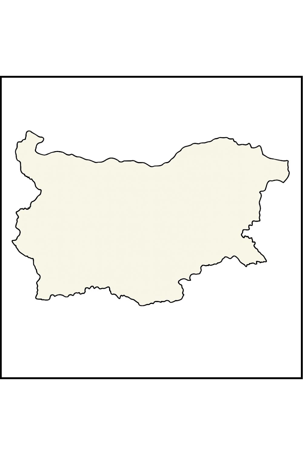
Visitors, scholars, or just persons interested in Bulgaria can look at it easily to acquire the idea of how the country is subdivided. It is blank and therefore people are free to personalize it the way they want, by inserting labels, routes, or marking important places, etc. It is simple, easy to read, and assists in studying as well as in practical applications.
Here is a list of Bulgaria’s provinces (also called “oblasts”), which you can label on a Blank Map of Bulgaria with Provinces:
-
Blagoevgrad
-
Burgas
-
Dobrich
-
Gabrovo
-
Haskovo
-
Kardzhali
-
Kyustendil
-
Lovech
-
Montana
-
Pazardzhik
-
Pernik
-
Pleven
-
Plovdiv
-
Razgrad
-
Ruse
-
Shumen
-
Silistra
-
Sliven
-
Smolyan
-
Sofia (City)
-
Sofia Province
-
Stara Zagora
-
Targovishte
-
Varna
-
Veliko Tarnovo
-
Vidin
-
Vratsa
-
Yambol
Printable Map of Bulgaria – worksheet
A worksheet with a blank map of Bulgaria is a convenient learning tool for children who want to learn something about geography. Users can add their labels for provinces or cities to the map, designating mountain ranges, rivers, and other features. You can use it in your classroom activities, prep homework, and organize geography quizzes–or simply give one as a short exercise, leaving the rest to your students! By omitting labels and marked-out areas, this kind of layout encourages active learning.
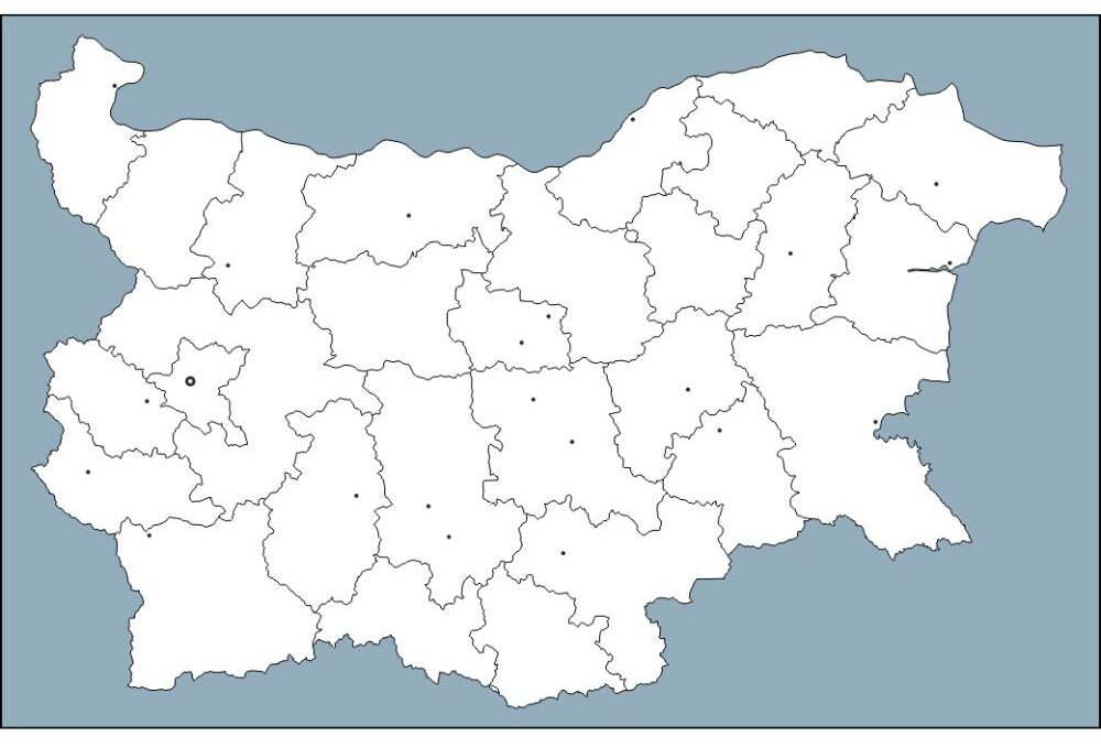
Students must think for themselves to fill in the blanks. In this way of learning, students can see, all during the process, just what they have learned and where they should focus their future studies. This kind of worksheet can help supplement visual learning since it not only reinforces the knowledge but also takes root in students themselves. Whether it’s educated entertainment or simply introducing other countries to an interested Wikipedia eye, briefly take a few minutes to check their location in Europe, major cities, major river systems, and bordering countries.
Blank Bulgaria Map – Outline
Blank Map of Bulgaria with Cities and Capital
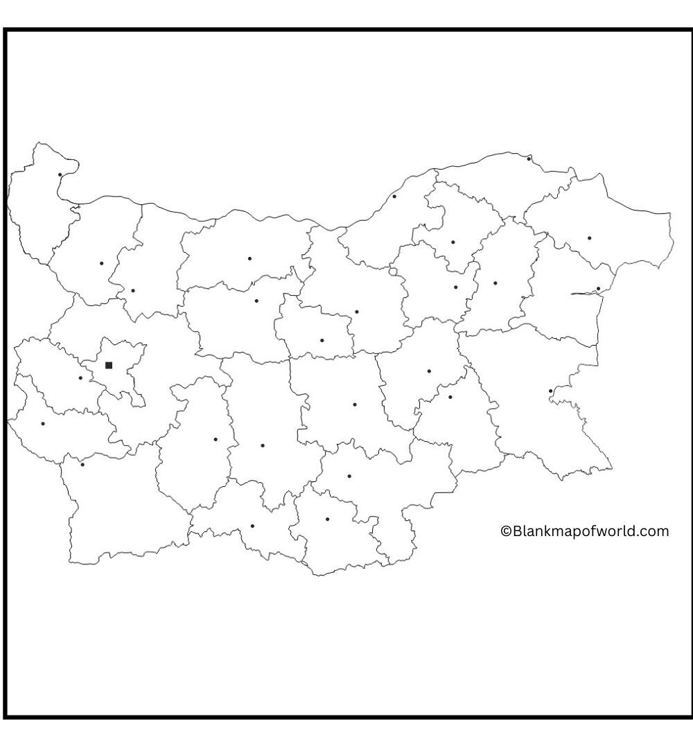
A Blank Map of Bulgaria with cities and the capital offers a clear outline of the country’s geographical layout. It highlights major cities such as Sophia (Rajdhani), Plovedives, Verna, Bergas, and Ruge, among others, marked with dots or labels. The map usually reflects regional boundaries, rivers, and mountain ranges like the Balkan Mountains and the Rhodope Mountains.
It provides a useful tool for learning Bulgarian geography, traveling routes, or educational purposes. The simplicity of the blank map allows users to explore cities and practice spatial relations within Bulgaria, making it equally an effective resource for students and passengers.
![Blank Map of World [Free Printable Maps]](https://blankmapofworld.com/wp-content/uploads/2025/05/blank-map-logo-1.png)
