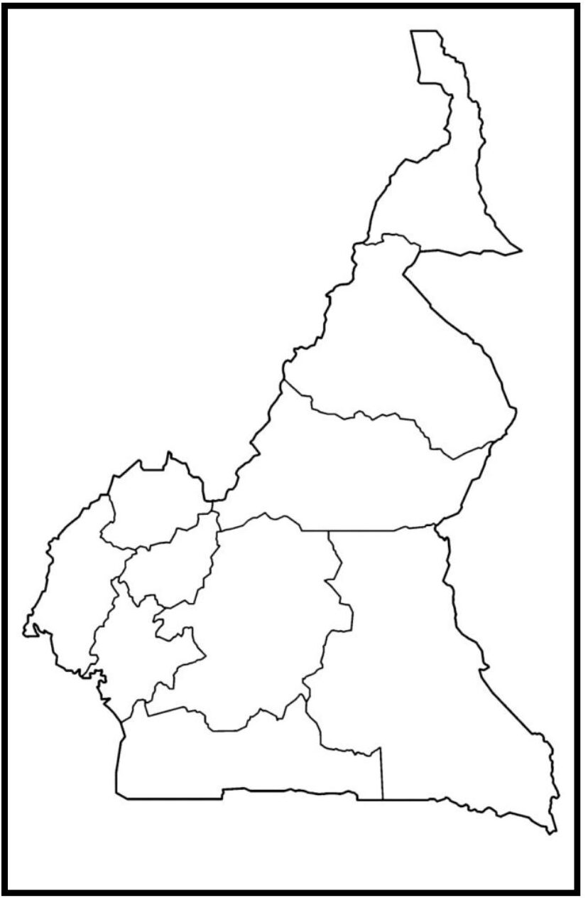
A Blank Map of Cameroon, located in Central Africa, is a dynamic and culturally diverse nation that is famous for its various landscapes and rich traditions. Often called “Africa in miniature,” the country includes many atmospheres, including Atlantic beaches, dense rainforests, huge savannahs, and volcanic mountains.
With over 250 ethnic groups, each with different languages and customs, Cameron claims a vibrant multicultural society. Or the cities of Inguu and Daula work as political and economic centers, respectively, while the economy mainly depends on agriculture, oil, and the manufacturing sectors.

Related post:

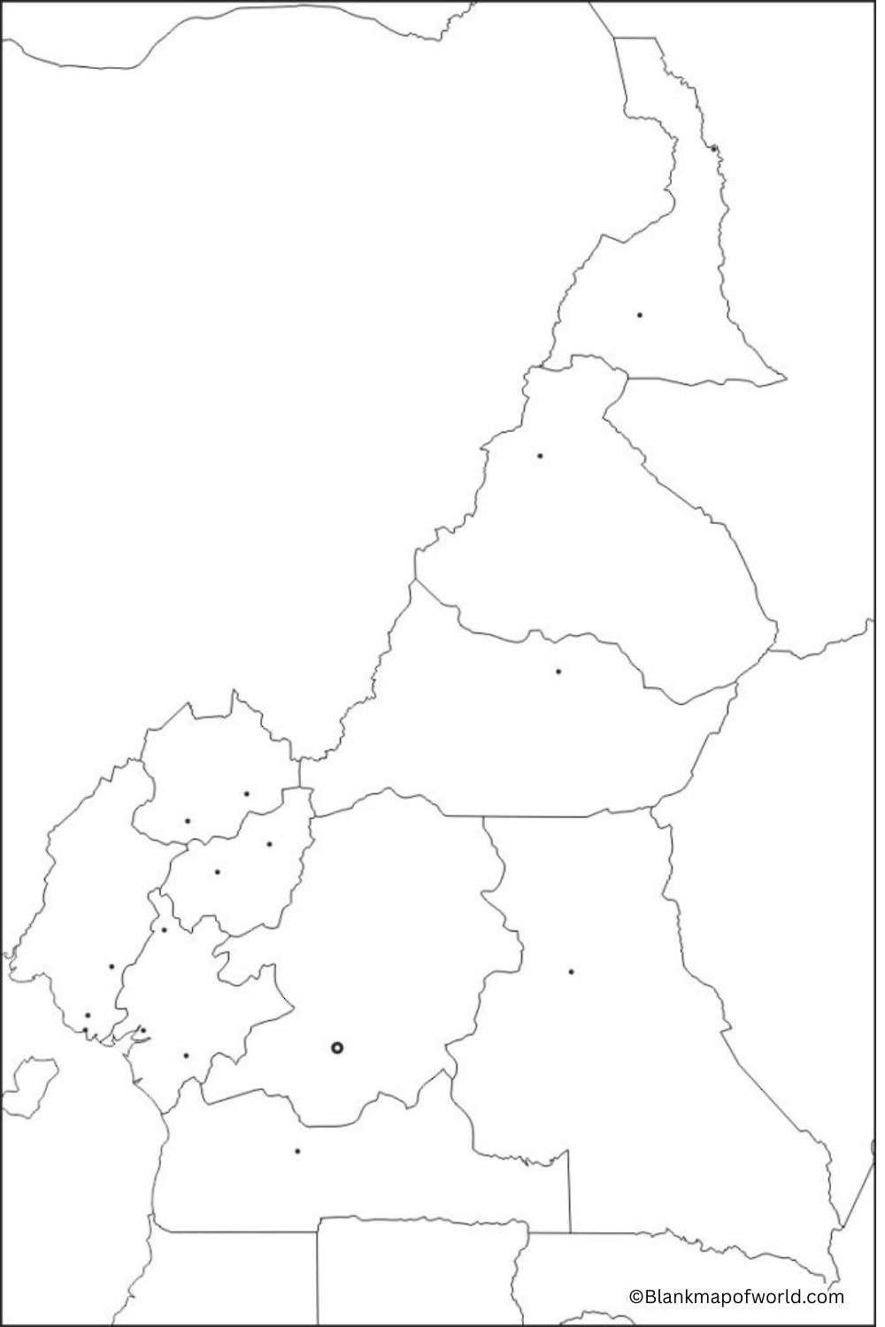
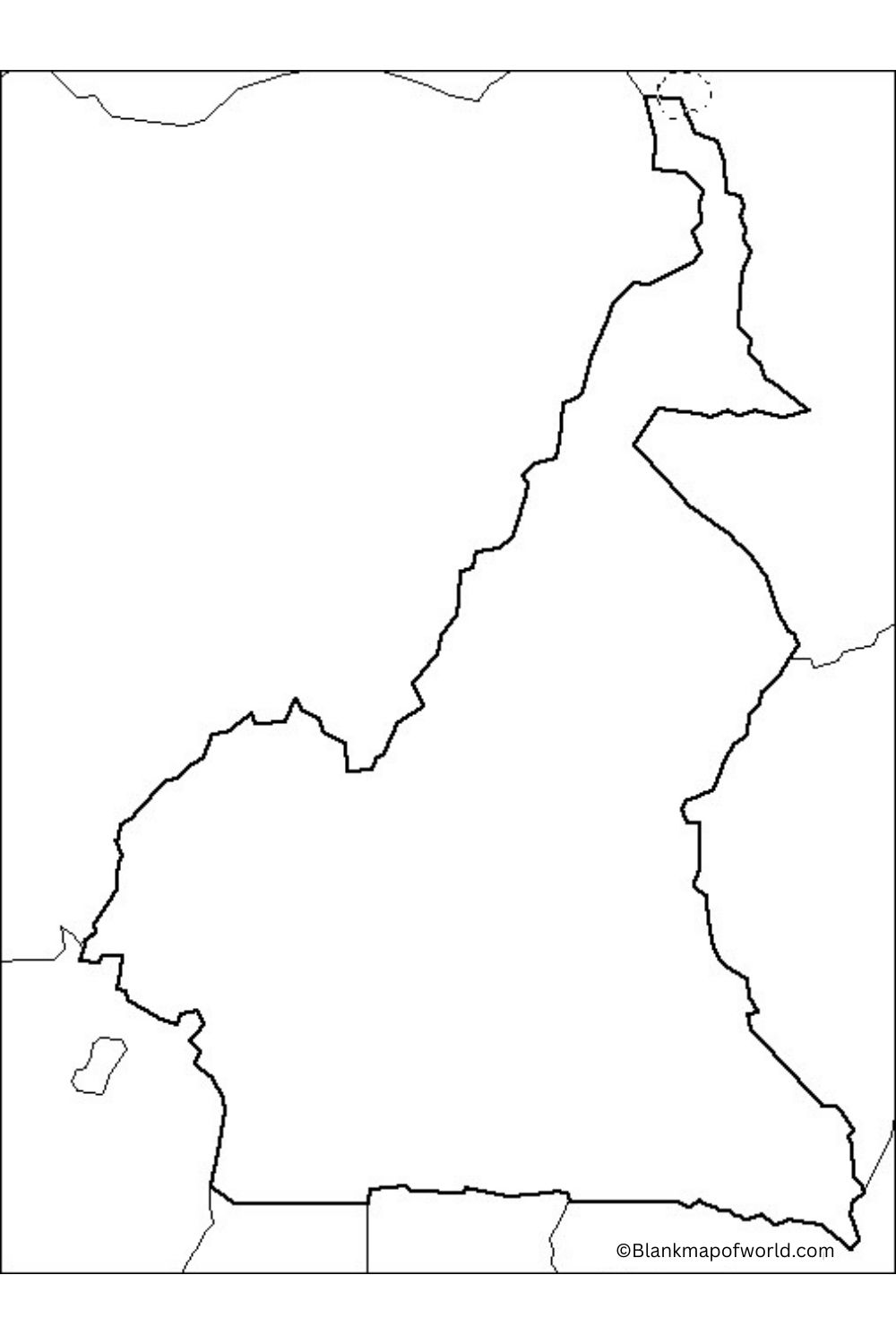
A free blank map of Cameroon is an advantage to students, teachers, travelers, and researchers. It depicts the profile of Cameroon without names, which makes it perfect in teaching student geography or in a quiz or homework. This blank map assists learners with naming and locating major features on the map, including cities, rivers, mountains, and countries that border each other.
Cameroon is a country in Central Africa and is characterized by varied topographies such as a beach, rainforests, and savannas. The map may be printed and utilized in coloring activities or a trip plan. It is an easy but effective study and learning tool on the geography of Cameroon.
| Region | Capital | Population (2022 est.) | Area (km²) | Population Density (per km²) |
|---|---|---|---|---|
| Centre | Yaoundé | 3,905,000 | 68,953 | 56.6 |
| Far North | Maroua | 3,796,000 | 34,263 | 110.8 |
| Littoral | Douala | 3,178,000 | 20,248 | 157.0 |
| North | Garoua | 2,297,000 | 66,090 | 34.8 |
| Northwest | Bamenda | 1,906,000 | 17,300 | 110.2 |
| West | Bafoussam | 1,875,000 | 13,892 | 135.0 |
| Southwest | Buéa | 1,503,000 | 25,410 | 59.2 |
| Adamawa | Ngaoundéré | 1,124,000 | 63,701 | 17.6 |
| East | Bertoua | 830,000 | 109,002 | 7.6 |
| South | Ebolowa | 773,000 | 47,191 | 16.4 |
Printable Blank Map of Cameroon – Worksheet

This Cameroon map, which is blank without names of regions or cities to enable the country’s natural borders can be seen clearly to the eye. It is an important tool for students, teachers, or researchers to grasp the physical geography of Cameroon. The map helps users name the country’s ten regions and uncover rivers, major cities such as Yaoundé or Douala, or landforms like Mount Cameroon.
It provides opportunities for interactive learning in the form of map puzzles or colorable maps that users can color in themselves. Useful for either classroom use or private study, this blank map can help people remember where they are. The map shows both its regional structure and various landscapes, which are typical of the entire region in central Africa.
Blank Map of Cameroon Outlines

The blank map of Cameroon outlines its external borders only, without internal markings or labels. It is a versatile educational resource used for teaching and testing as well as for investigating Cameroon’s geography. With this map, people can identify areas, cities, rivers, mountains, and other features of a geographical or political natureRegioned in Central Africa, Cameroon has a varied topography consisting of coastlines, savannas, rainforests, and highlands.
The outline map gives learners a visual understanding of the country’s shape and position on the African continent. It is ideal for school projects, classroom exercises, and interactive learning about Cameroon.
![Blank Map of World [Free Printable Maps]](https://blankmapofworld.com/wp-content/uploads/2025/05/blank-map-logo-1.png)