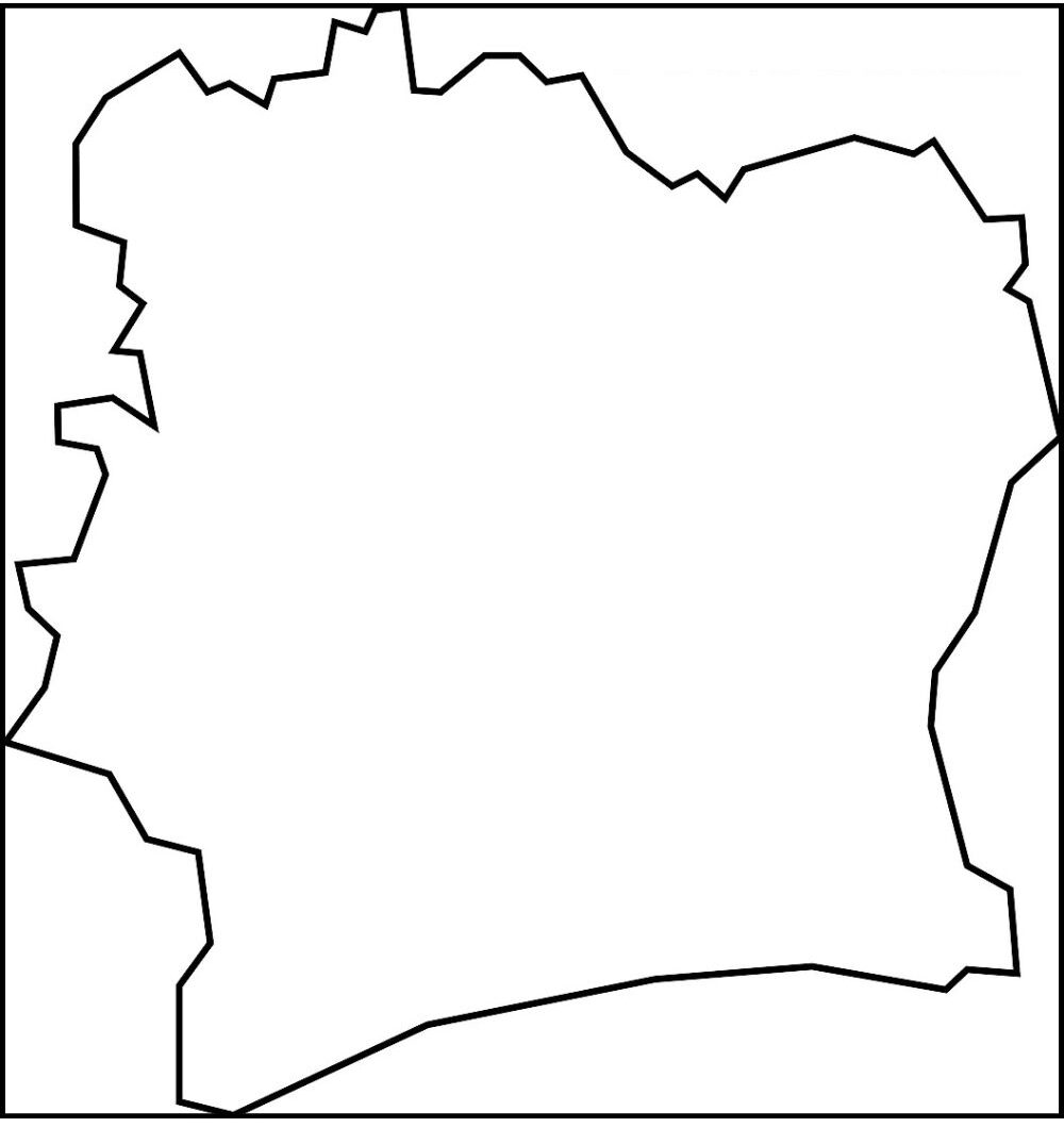
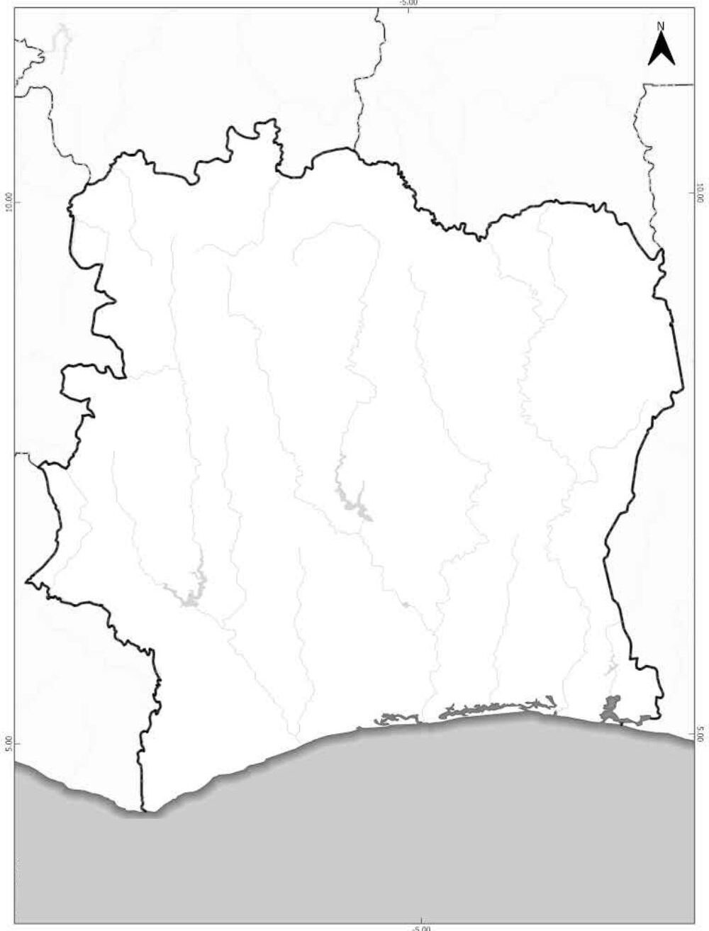
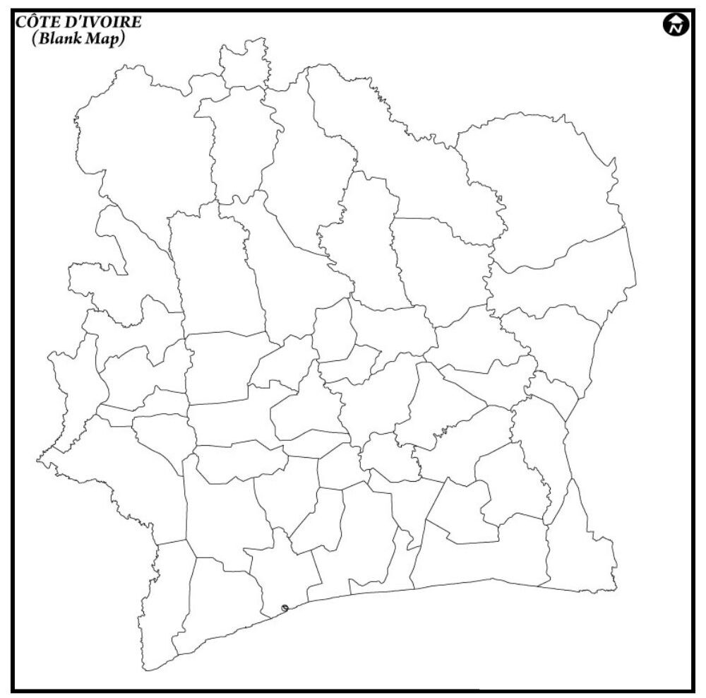
A Blank Map of Cote d’Ivoire (Ivory Coast) is a simple outline map that does not indicate any names, labels, or additional information in the map, just the shape and border of the country. It is quite helpful as a learning and teaching tool, as individuals can learn how to mark significant locations such as cities, rivers, and regions. Côte d’Ivoire is a West African nation, which is bordered by Liberia, Guinea, Mali, Burkina Faso, Ghana, and the Atlantic Ocean to the south.

This type of map is ideal for school tests, quizzes, or travel guides since it helps people know the location of things. You can also draw or color it, or create your version of the map. Anyone can use a blank map of Cote d’Ivoire to learn and study the geography of the country in the easiest and entertaining manner.
Free Blank Map of Côte d’Ivoire
The Côte d’Ivoire (Ivory Coast) map gives a clear picture of the population and landscapes of the country, and the main places in the country. It aids in explaining the whereabouts of such big cities as Abidjan and Yamoussoukro, and such important rivers as Bandama and Comoé.
Various areas and boundaries are also marked on the map, which makes it useful to research the culture and economy of the countCôteCote d’Ivoire is a cocoa producer, has national parks as well as coastlines which can easily be located on a map. It is a valuable educational, traveling, and geographical research tool.
| Region No. | Region Name | Regional Capital | Approx. Population (2021 est.) | |
|---|---|---|---|---|
| 1 | Abidjan (Autonomous District) | Abidjan | 5,200,000 | |
| 2 | Yamoussoukro (Autonomous District) | Yamoussoukro | 350,000 | |
| 3 | Bagoué | Boundiali | 650,000 | |
| 4 | Bafing | Touba | 300,000 | |
| 5 | Béré | Mankono | 500,000 | |
| 6 | Bounkani | Bouna | 400,000 | |
| 7 | Cavally | Guiglo | 600,000 | |
| 8 | Folon | Minignan | 200,000 | |
| 9 | Gbêkê | Bouaké | 1,200,000 | |
| 10 | Gôh | Gagnoa | 900,000 | |
| 11 | Gontougo | Bondoukou | 800,000 | |
| 12 | Grands-Ponts | Dabou | 700,000 | |
| 13 | Guémon | Duékoué | 850,000 | |
| 14 | Hambol | Katiola | 500,000 | |
| 15 | Haut-Sassandra | Daloa | 1,100,000 | |
| 16 | Iffou | Daoukro | 400,000 | |
| 17 | Indénié-Djuablin | Abengourou | 700,000 | |
| 18 | Kabadougou | Odienné | 400,000 | |
| 19 | La Mé | Adzopé | 600,000 | |
| 20 | Loh-Djiboua | Divo | 1,000,000 | |
| 21 | Marahoué | Bouaflé | 600,000 | |
| 22 | Mé | Alépé | 450,000 | |
| 23 | Moronou | Bongouanou | 500,000 | |
| 24 | N’Zi | Dimbokro | 350,000 | |
| 25 | Nawa | Soubré | 1,000,000 | |
| 26 | Poro | Korhogo | 1,000,000 | |
| 27 | San Pedro | San Pedro | 1,100,000 | |
| 28 | Sud-Comoé | Aboisso | 700,000 | |
| 29 | Tchologo | Ferkessédougou | 600,000 | |
| 30 | Tonkpi | Man | 1,200,000 | |
| 31 | Worodougou | Séguéla | 700,000 |
Printable Blank Map of Cote d’Ivoire

Printable blank map of theCôtee d’Ivoire (Ivory Coast) is a simple outline map of the country that can easily be printed to study and practice. It does not include names or any other markers, and the borders and shape of the country, but it is perfect for schoolwork, quizzes, geography projects, etc.
This kind of map assists students and teachers in identifying these (city, river, mountain, and region) during study. Côte d’Ivoire is a West African country with Liberia, Guinea, Mali, Burkina Faso, Ghana, and the Atlantic Ocean to the south. Simple, convenient, and ideal to do coloring or labeling activities, printable maps.
Outline Map of Cote d’Ivoire
An outline map of the Côte d’Ivoire (Ivory Coast) is a map of the country with the borders and shape only, not including any additional information such as names of cities and other landmarks.
Côte d’Ivoire is a country in West Africa, and it borders Liberia, Guinea, Mali, Burkina Faso, Ghana, and the Atlantic Ocean to the south. It also makes the layout and location of the country easy to understand for the people.
![Blank Map of World [Free Printable Maps]](https://blankmapofworld.com/wp-content/uploads/2025/05/blank-map-logo-1.png)
