Blank Map of Croatia – Croatia, a panoramic country with the amazing Adriatic Sea, is famous for its rich history, diverse scenery, and vibrant cultural heritage. Slovenia, Hungary, Serbia, Bosnia and Herzegovina, Montenegro, and Croatia have claimed a strategic position in South-East Europe. Its picturesque coast is characterized by more than a thousand islands, attractive coastal cities, and ancient beaches, a popular destination for sun and sea-loving travelers.

The historical site of the country, including the ancient city of Dubrovnik, often called the “pearl of the Adriatic”, demonstrates its medieval architecture and stores the past. Croatia is also known for its natural beauty, with stunning national parks such as Plitvice Lakes offering breathtaking waterfalls and crystal-clear lakes.

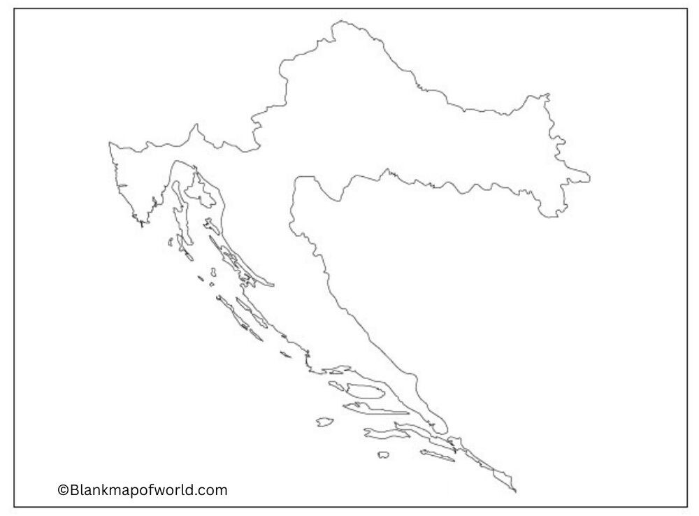
Free Blank Map of Croatia is a simple, outline map of the country that depicts the shape and outline of Croatia without any names, coloring, or additional information. It vividly depicts the presence of a long coastline and numerous islands in the Adriatic Sea, which Croatia possesses.
| County Name | Administrative Seat | Area (km²) | Population (2021) | |
|---|---|---|---|---|
| Bjelovar-Bilogora | Bjelovar | 2,640 | 101,879 | |
| Brod-Posavina | Slavonski Brod | 2,030 | 130,267 | |
| Dubrovnik-Neretva | Dubrovnik | 1,781 | 115,564 | |
| Istria | Pazin | 2,813 | 195,237 | |
| Karlovac | Karlovac | 3,626 | 112,195 | |
| Koprivnica-Križevci | Koprivnica | 1,748 | 101,221 | |
| Krapina-Zagorje | Krapina | 1,229 | 120,702 | |
| Lika-Senj | Gospić | 5,353 | 42,748 | |
| Međimurje | Čakovec | 730 | 105,250 | |
| Osijek-Baranja | Osijek | 4,155 | 258,026 | |
| Požega-Slavonia | Požega | 1,823 | 64,084 | |
| Primorje-Gorski Kotar | Rijeka | 3,588 | 265,419 | |
| Sisak-Moslavina | Sisak | 4,468 | 139,603 | |
| Split-Dalmatia | Split | 4,540 | 423,407 | |
| Šibenik-Knin | Šibenik | 2,984 | 96,381 | |
| Varaždin | Varaždin | 1,262 | 159,487 | |
| Virovitica-Podravina | Virovitica | 2,024 | 70,368 | |
| Vukovar-Srijem | Vukovar | 2,454 | 143,113 | |
| Zadar | Zadar | 3,646 | 159,766 | |
| Zagreb County | Zagreb | 3,060 | 299,985 | |
| City of Zagreb* | Zagreb | 641 | 767,131 |
Such a map is excellent when doing school work, or learning geography, or making quizzes, since one can write the names of cities on it, color the various regions, or draw the routes of travels. It is also convenient to present or plan trips. Because it is free of charge, everyone, including students, teachers, or travelers, can easily use it to either study or work with Croatian geography in a basic and clear manner.
Printable Blank Map of Croatia

A blank map worksheet of Croatia is highly helpful as an instructive resource for students to learn about the country’s geographical data. This blank map features an outline of Croatia but with no names. This allows young people to identify and mark down such essential things as cities, regions, rivers, and adjoining countries. This tool is suitable for classroom day, homework, and test practice, offering active learning with its labeling and coloring.
The house click reinforces learners’ knowledge of Croatia’s 20 counties and its distinctive coastline along the Adriatic Sea, along with the capital, Zagreb. The worksheet lays out Croatia’s physical and political features in a manner that is clear and makes it easier to understand for the visual learner.
Outline Map of Croatia
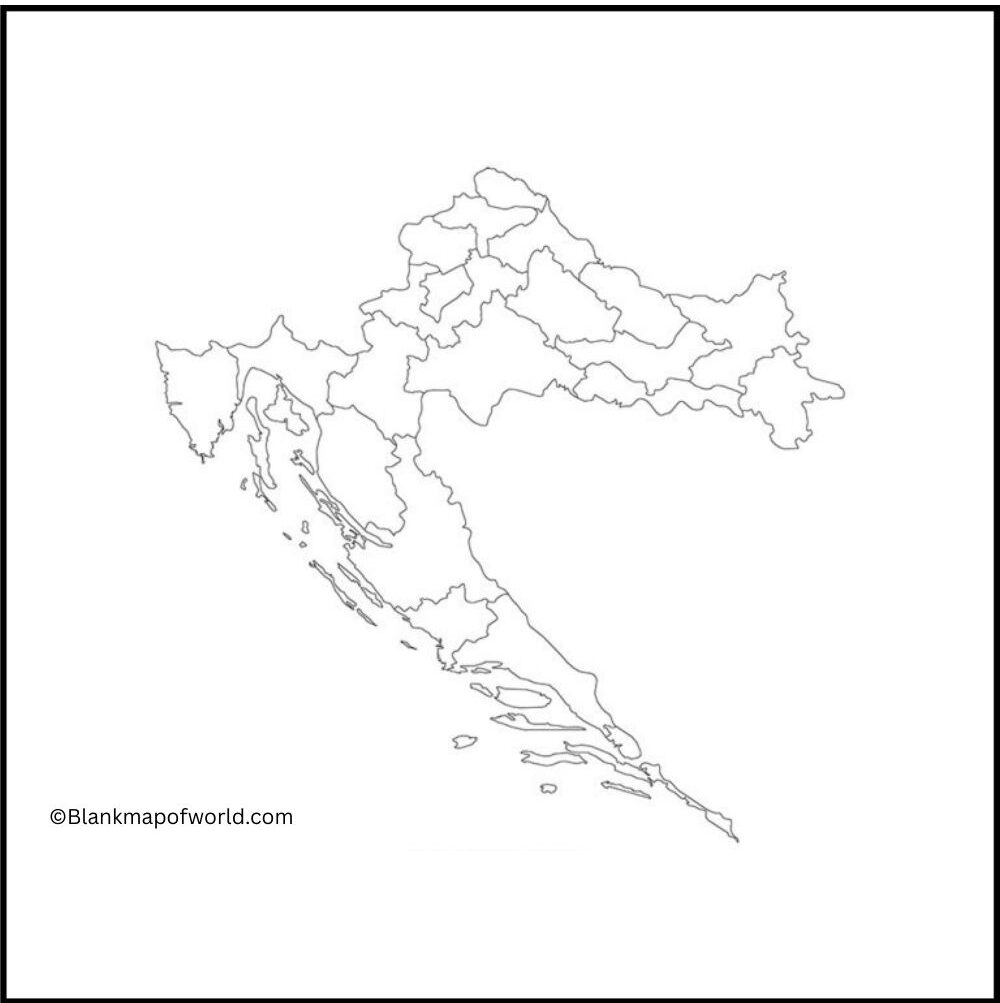

An outline map or blank map of Croatia shows the shape and outline of the country without any internal markings, labels, or details. It is here that one can see how to identify Eastern Europe from other parts of the continent. The map also sets out the country’s long Adriatic coast and many islands; this type of map is ideal for educational purposes, allowing students to name major cities, regions, and landmarks. It gives students a visual experience they can share.
It promotes active learning, facilitating the understanding of Croatia’s topography, political demarcation, and relations with neighboring countries through a series of direct practices such as paint-by-numbers, attaching names to stations on the scale map, which is cut into pieces after every seven even-odd integers along its length or width.