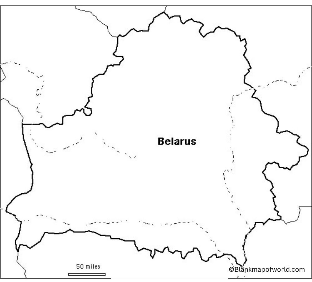
Blank Map of Belarus is the map of this country, which depicts only its outline. It does not contain city or river names or names of the roads, which makes it straightforward to use for a variety of purposes. Belarus refers to a nation in Eastern Europe, bordering Russia, Ukraine, Poland, Lithuania, and Latvia. Blank maps are widely used in educational institutions where they make students learn geography by putting their labels, coloring various parts ofthe map, or identifying important sites.
Also valuable is to use it in quizzes, projects, and presentations. Since it does not depict all of the features of the country, individuals are able to utilize it in various forms according to what they desire to know or teach. This is why the blank map of Belarus is a convenient tool that can assist anyone in learning where the country is located and what its outline is, understandably and simply.
Related Post:
Table of Contents
Free Blank Map of Belarus

A Free Blank Map of Belarus is a simple map that does not give any content at all; rather, it just gives the outline of the country. No names of cities, rivers, or roads, thereby it is convenient to use it during learning or childish games. Belarus is a state in Eastern Europe, and on the blank map, you can observe in detail its shape and boundaries with Russia, Ukraine, Poland, Lithuania, and Latvia.
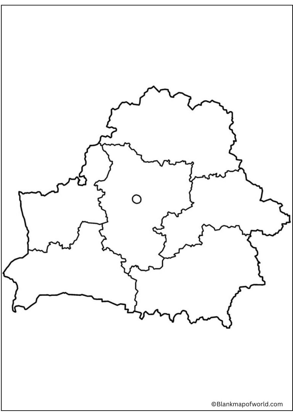
| Region (Voblast) | Administrative Center | Area (km²) | Estimated Population (2024) | |
|---|---|---|---|---|
| Brest | Brest | 32,800 | ~1,315,000 | |
| Gomel | Gomel | 40,400 | ~1,370,000 | |
| Grodno | Grodno | 25,000 | ~1,010,000 | |
| Mogilev | Mogilev | 29,000 | ~980,000 | |
| Minsk Region | Minsk (Region) | 39,900 | ~1,480,000 | |
| Vitebsk | Vitebsk | 40,100 | ~1,080,000 | |
| Minsk City* | Minsk | 350 | ~2,000,000 |
This kind of map can be useful when students and teachers want to denote locations, label names, or color in various territories. It is basic, straightforward, and accommodating, and thus it is good to learn geography or carry out projects with it.
Printable Blank Map of Belarus

Belarus Printable Blank Map is one of the simplest forms of a map that can be easily downloaded and printed to study or use in a project. It indicates the definite form and frontiers of Belarus with no additional features as cities, rivers, places of fundamental communication, etc. This applies to students, teachers, or even travellers who need an application to pin important places, practice labeling, or play quiz games and other classes.
Belarus is an Eastern European country and borders Russia, Ukraine, Poland, Lithuania, and Latvia. A printable version can be easily accessed so that everyone can use it to learn, color, or conveniently present something.
Outline Map of Belarus

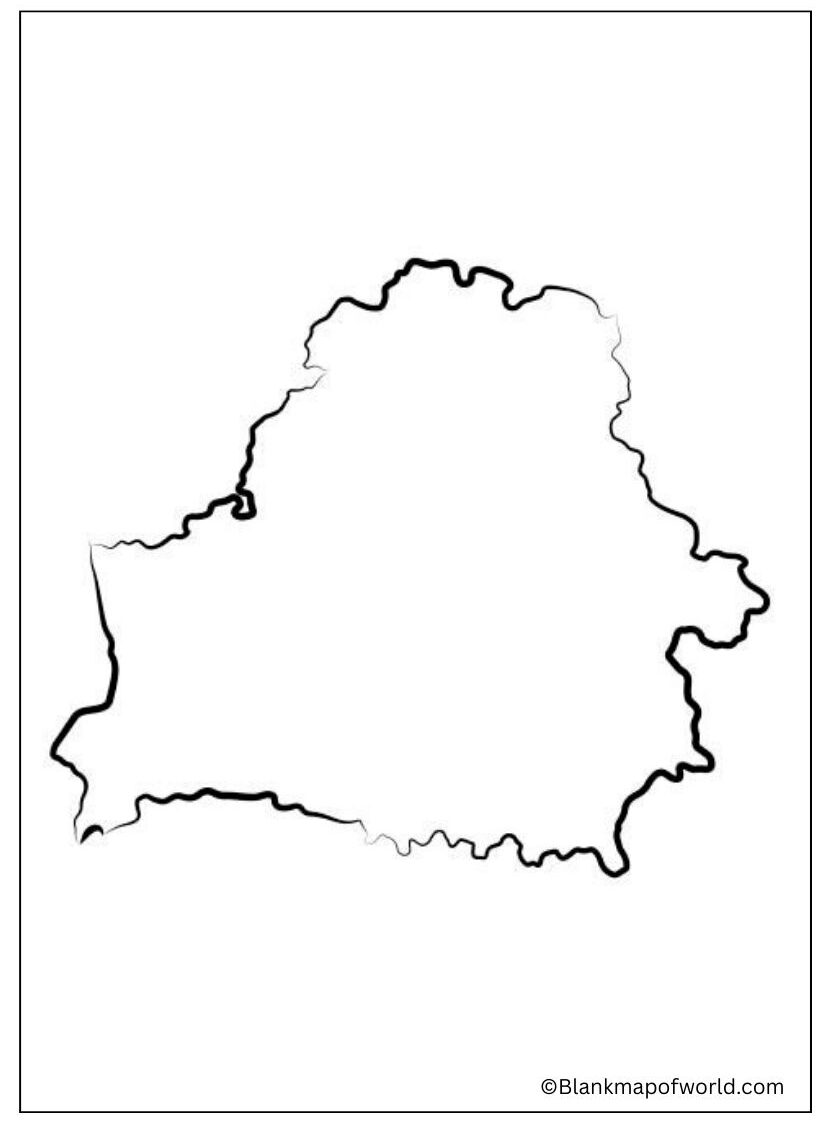
An Outline Map of Belarus is a very simplistic map and just gives the outer contour of the country. It contains no city, river, or road names. This type of map is commonly utilised in schools so that children can be taught geography by using it to draw, colour, and even to write names on it.
It can also be used in projects, quizzes, or presentations as the borders of the country and its shape appear well. An outline map will neatly enable any person to know where Belarus is located and what it appears to be like.
![Blank Map of World [Free Printable Maps]](https://blankmapofworld.com/wp-content/uploads/2025/05/blank-map-logo-1.png)