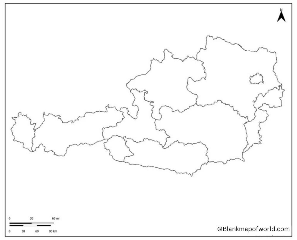
A Blank Map of Austria is an extremely simple map where the map only indicates the outline or the shape of the country. On it, there are no city names, names of rivers, or states. It is likely to have this sort of map: learning, practice, or projects. Austria is a nation located in Central Europe, and it has numerous other neighbouring countries such as Germany, Italy, Switzerland, and Hungary, among others. The shape of Austria is very easily identifiable since it has numerous mountains, the Alps to be precise.
Students can use a blank map to place important locations such as Vienna, Salzburg, and other cities.
It is also used in classrooms by teachers when teaching children about geography since they are able to fill the gaps present, giving them a chance to learn. Such maps also enable travelers to know the location of Austria, as well as the countries bordering this country. Concisely, the blank map of Austria is similar to the blank page on which you can insert the information whenever necessary. It is not so difficult, straightforward, and extremely practical when studying or teaching about the country skillfully.
Related Post:
- Blank Map of North America
- Blank Map of China
- Blank Map of Asia
- Blank Map of Brazil
- Blank Map of Albania
- Blank Map of Antarctica
Table of Contents
Free Blank Map of Austria

| State (German Name) | Capital | Area (km²) | Population (2022) | Population Density (people/km²) |
|---|---|---|---|---|
| Vienna (Wien) | Vienna | 415 | 1,931,593 | 4,654 |
| Lower Austria (Niederosterreich) | Sankt Pölten | 19,180 | 1,698,796 | 89 |
| Upper Austria (Oberosterreich) | Linz | 11,983 | 1,505,140 | 126 |
| Styria (Steiermark) | Graz | 16,399 | 1,252,922 | 76 |
| Tyrol (Tirol) | Innsbruck | 12,648 | 764,102 | 60 |
| Carinthia (Kärnten) | Klagenfurt | 9,537 | 564,513 | 59 |
| Salzburg | Salzburg | 7,155 | 560,710 | 78 |
| Vorarlberg | Bregenz | 2,602 | 401,647 | 154 |
| Burgenland | Eisenstadt | 3,965 | 297,583 | 75 |
Printable Blank Map of Austria

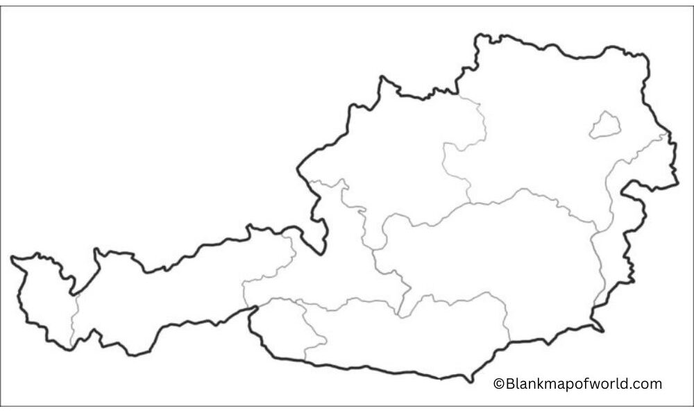
A blank printable map of Austria is a plain map that simply indicates the shape of the nation and its borders. There are no names of cities, rivers, or states, thereby making it easy and simple to use. You could copy it and paste it and use it in school or projects, or as a learning activity.
The country is Austria, and it is a Central European country surrounded by such lands as Germany, Italy, Switzerland, and Hungary. The shape of the map is recognizable since the country has numerous mountains. This type of map will assist the students to practice the form of marking important places or any other person interested in knowing the geography of Austria in a simplified form.
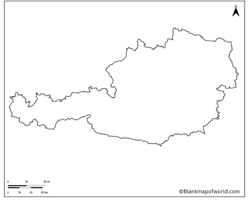
Outline Map of Austria

A very simple map is an outline map of Australia, which contains the external outline of the country. It lacks names, labels, and other details. This type of map can be useful to learn since you can add information to it yourself. Austria is located in Central Europe and borders countries such as Germany, Italy, Switzerland, and Hungary.
Using an outline map, the students could highlight significant cities, such as Vienna or Salzburg, or they could draw rivers, or they could indicate the Alps, etc. It has found application in schools, projects, or practice works; this is because learning becomes easy and quite evident.
![Blank Map of World [Free Printable Maps]](https://blankmapofworld.com/wp-content/uploads/2025/05/blank-map-logo-1.png)