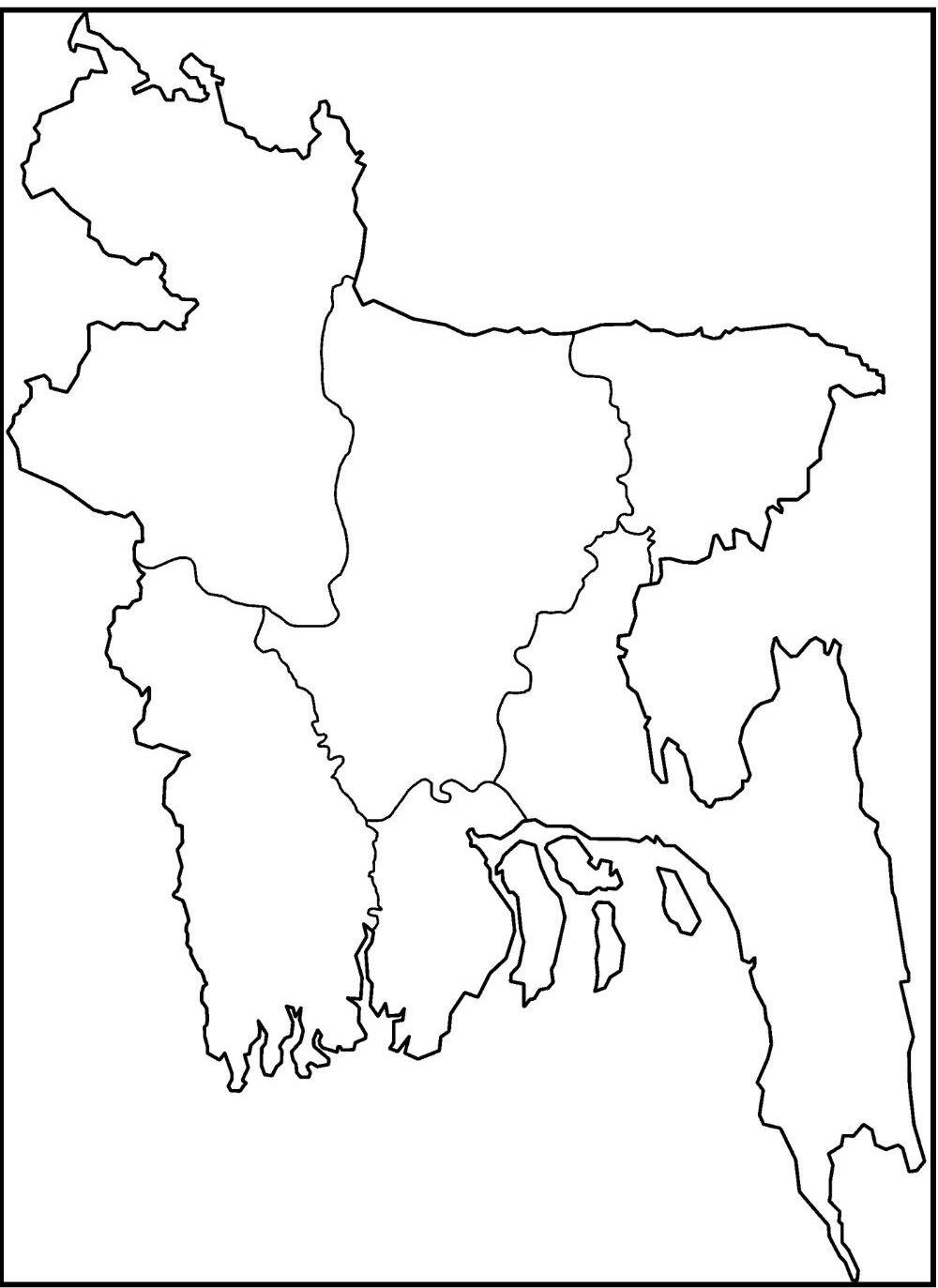
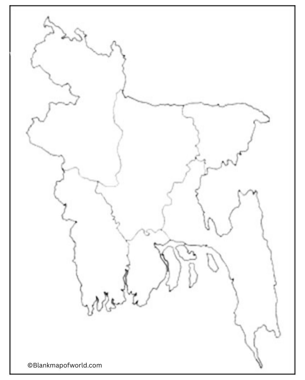
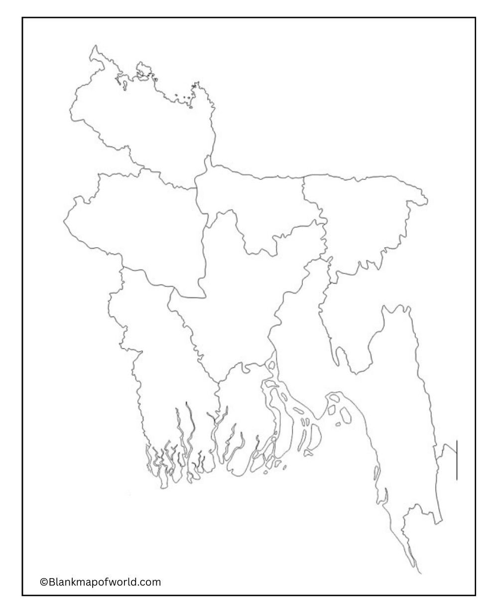
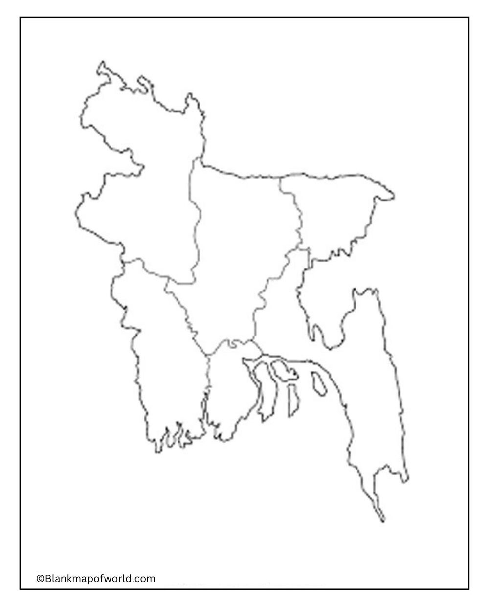
Blank Map of Bangladesh – A country in South Asia, famous for its vibrant cultural heritage, traditions, and diverse natural landscapes. Located on the eastern part of the Indian subcontinent, it shares the Bay of Bengal in the southeast with West, North, and East Myanmar and with India. With a population of over 160 million, Bangladesh ranks among the most densely populated countries worldwide.

Its scenario features fertile grounds and numerous rivers that flow through the region, particularly in areas such as rice and jute farming, which are major aspects of its economy. The capital city, Dhaka, is a busy, rich center of commerce and culture. Despite facing obstacles such as climate change and economic challenges, Bangladesh has made remarkable progress in the development of education, healthcare, and infrastructure. Its rich history, diverse cultural landscape, and flexible population contribute to its dynamic identity as it continues to develop and create its identity on the global platform.
Free Blank Map of Bangladesh

The simplicity of a blank map of Bangladesh, with just an outline and no notations, makes it an ideal learning tool for any student or teacher alike. It shows the shape of and borders around Bangladesh, just them. This way, users can add their labels for divisions, districts, rivers, and other features. Located in South Asia, Bangladesh is surrounded by India, Myanmar (Burma), and the Bay of Bengal.
The land is very fertile, and here you can find many rivers. A country of this nature cannot but be rich in rivers. The blank map lets researchers, educators, and students look at and annotate the geography, politics, and other characteristics of the region quickly in such a way as to learn something new about it every time they do not only for one-time use by themselves but also to share that information with others as well.
| Division | Capital | Estimated Population (2022) | Area (km²) | Population Density (per km²) |
|---|---|---|---|---|
| Dhaka | Dhaka | 44,500,000 | 31,051 | 1,432 |
| Chattogram | Chattogram | 34,000,000 | 33,771 | 1,007 |
| Rajshahi | Rajshahi | 20,300,000 | 18,174 | 1,117 |
| Khulna | Khulna | 15,700,000 | 22,285 | 705 |
| Barisal | Barisal | 9,100,000 | 13,644 | 667 |
| Sylhet | Sylhet | 12,000,000 | 12,558 | 955 |
| Rangpur | Rangpur | 17,600,000 | 16,185 | 1,088 |
| Mymensingh | Mymensingh | 12,200,000 | 10,584 | 1,153 |
Printable Blank Map of Bangladesh

This worksheet contains an empty map of Bangladesh; it is designed for students, teachers, and researchers who may wish to record Bengali divisions. The country’s outline is linear, but it has no labels to clutter it up. Hence, you are urged to mark in deshbhandus, districts, and main rivers yourselves on this map. The worksheet is also suitable for geography questions, quizzes, exercises, and projects of any kind interacting with maps.
It encourages people to learn by doing and helps them acquire map-reading and memorization skills. Here its users can test their knowledge of Bangladesh’s regions, lines, and physical features. The blank layout suits various activities, such as putting in titles and coloring. In sum, it’s a handy tool for visual and hands-on exploration of Bangladesh.
Outline Blank Map of Bangladesh

Bangladesh’s outline map, also known as a blank map, is neat and simple. That is to say, its borders are depicted clearly and without requiring internal labels or identification marks of any kind. This type of map is widely used in education to help students learn about Bangladesh’s geographical features, rivers, and landmarks through coloring exercises and labeling tasks.
![Blank Map of World [Free Printable Maps]](https://blankmapofworld.com/wp-content/uploads/2025/05/blank-map-logo-1.png)