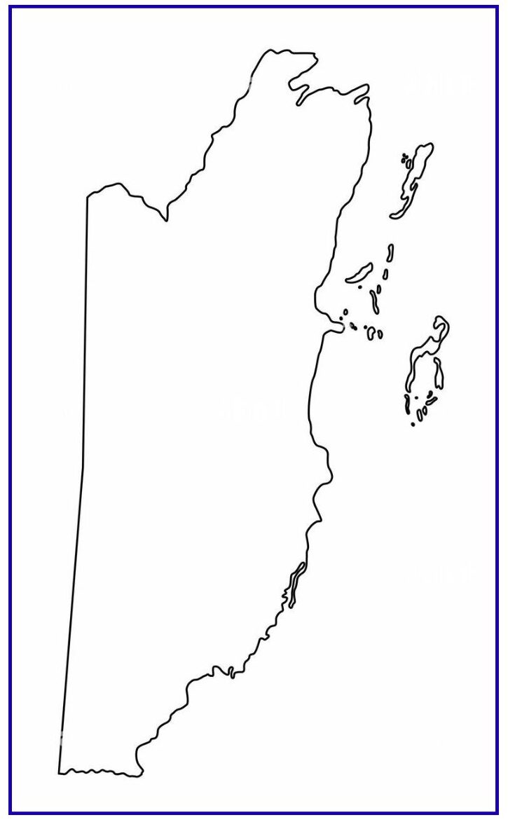
A Blank Map of Belize is a simple map that only shows the outline or shape of the country. It does not have names of cities, rivers or places marked on it. This type of map is used mostly by students, teachers, and passengers to find out where Belize is located and what it looks like.
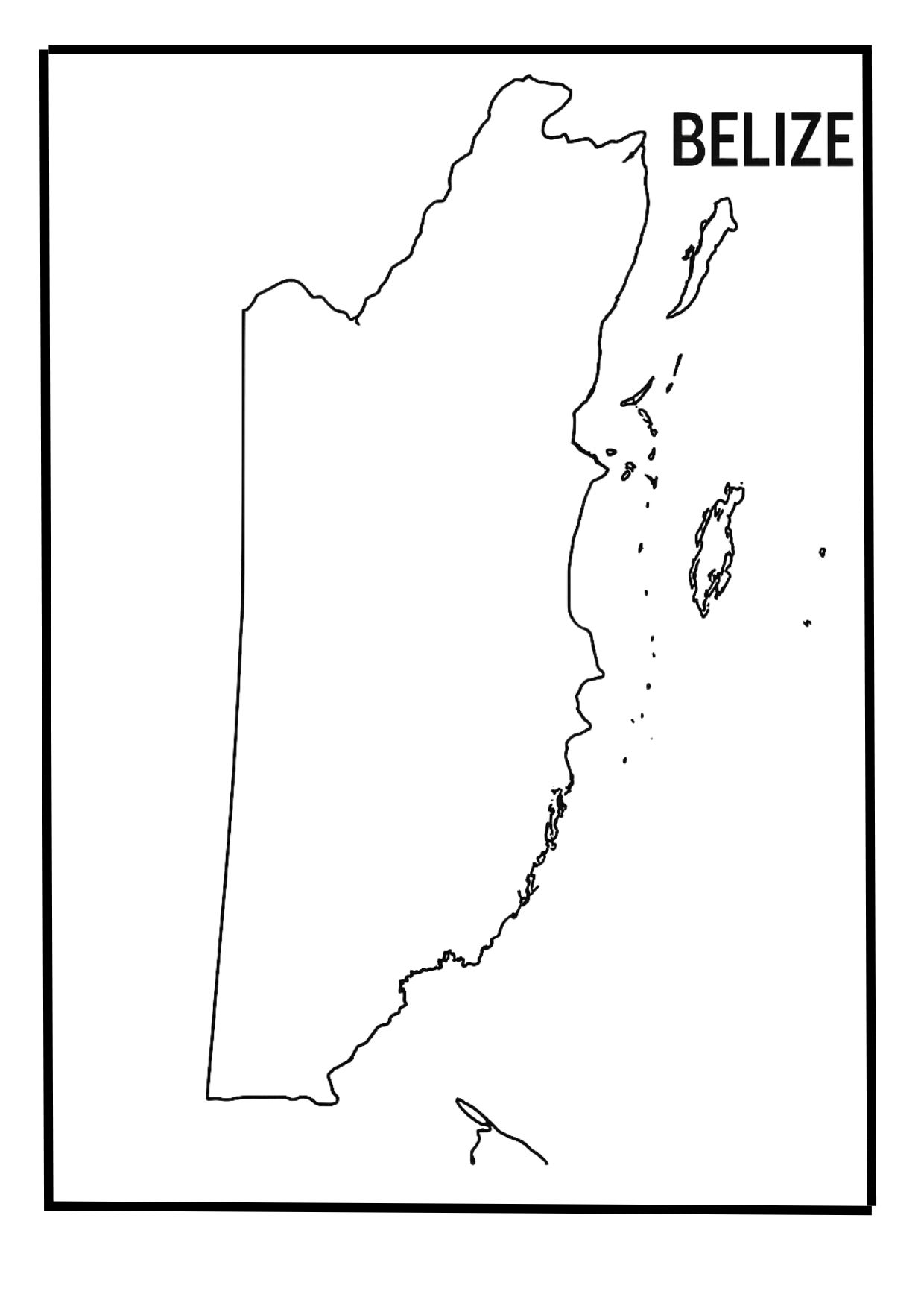
Since there are no labels, people can write in their knowledge, such as the names of places or for school projects or quiz. Belize is a small country in Central America. It is also a fun way to test your knowledge by filling yourself in details. In short, it is a useful and easy tool for learning and finding the geography of Belize.
Related Post:
- Blank Map of Australia (Oceania)
- Blank USA Map
- Blank Map of Chile
- Blank Map of Azerbaijan
- Blank Map of Armenia
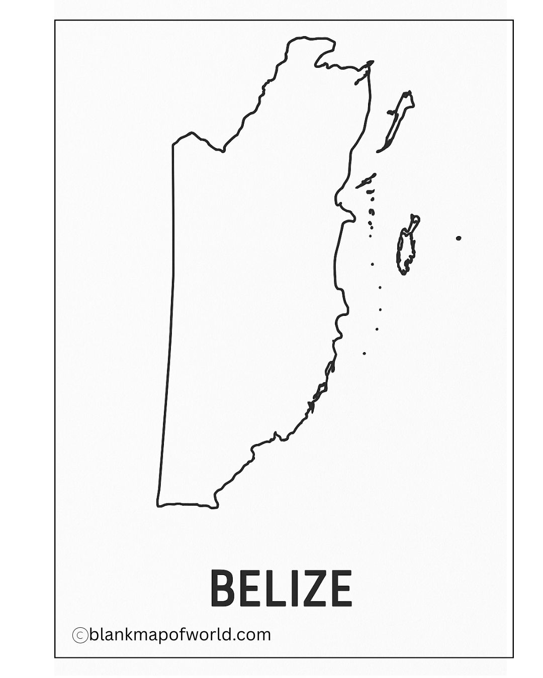
Free Blank Map of Belize
A free empty map of Belize is a plain outline map that reflects the size and boundaries of the country. It does not have names or details. Such a map is useful to mark school projects, geography learning, or fun for fun or study.
| District | Capital | Area (km²) | Population (2022 Estimate) | |
|---|---|---|---|---|
| Belize | Belize City | 4,307 | 116,914 | |
| Cayo | San Ignacio | 5,196 | 103,413 | |
| Corozal | Corozal Town | 1,860 | 46,071 | |
| Orange Walk | Orange Walk Town | 4,636 | 55,622 | |
| Stann Creek | Dangriga | 2,554 | 50,640 | |
| Toledo | Punta Gorda | 4,413 | 38,259 |
Printable Map of Belize – worksheet
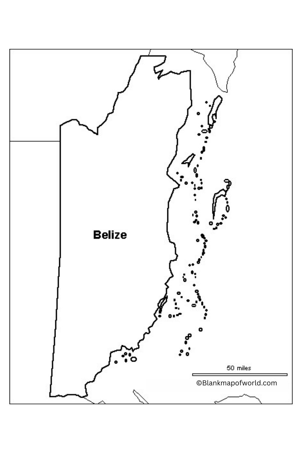
A worksheet containing a blank map of Belize is a suitable educational tool for students and people who want to know more about the geography of this tropical country. It usually only marks out, without writing out, districts as well as major cities and geographical features of Belize.
On the as yet unlabeled blank map, several different activities can be carried out. You can use it to label districts, specify major geographical forms (such as the Belize Barrier Reef), and observe the distribution of populations throughout the country. It is perfect for physical geography exercises, geography teaching, or even just a mechanical attempt to see how Belize fits together with the natural world. The blank map enhances the understanding of Belize’s unique location and structure and stimulates interaction as well.
Blank Belize Map – Outline
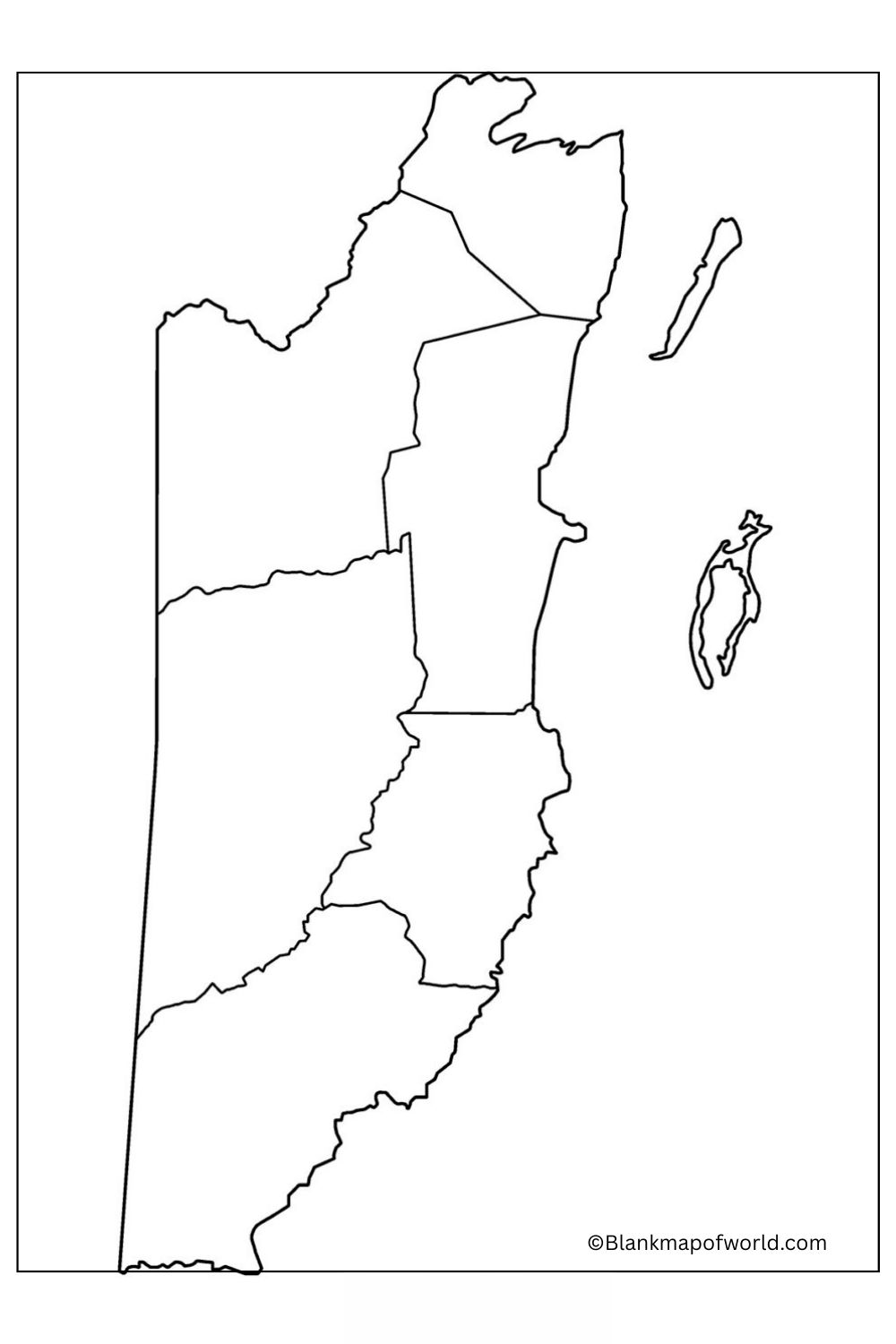
A blank map of Belize is an outline version country. Its internal detailed labels or colors show borders and major physical features only on all parts included within parentheses. The map spotlights Belize’s location on the Central American mainland, surrounded by Mexico, Guatemala, and the Caribbean Sea.
The island nation consists of six regions with their shapes drawn in outline form as shown here. This type of blank map is used in schools or other such occasions for geographic exercises, for example, labeling places, rivers, or mountain ranges. It just makes sense. The layout of research and texts showing one such example is in it. These blank maps of Belize may provide students (and teachers) with a more intuitive understanding of the country’s geographic structure.
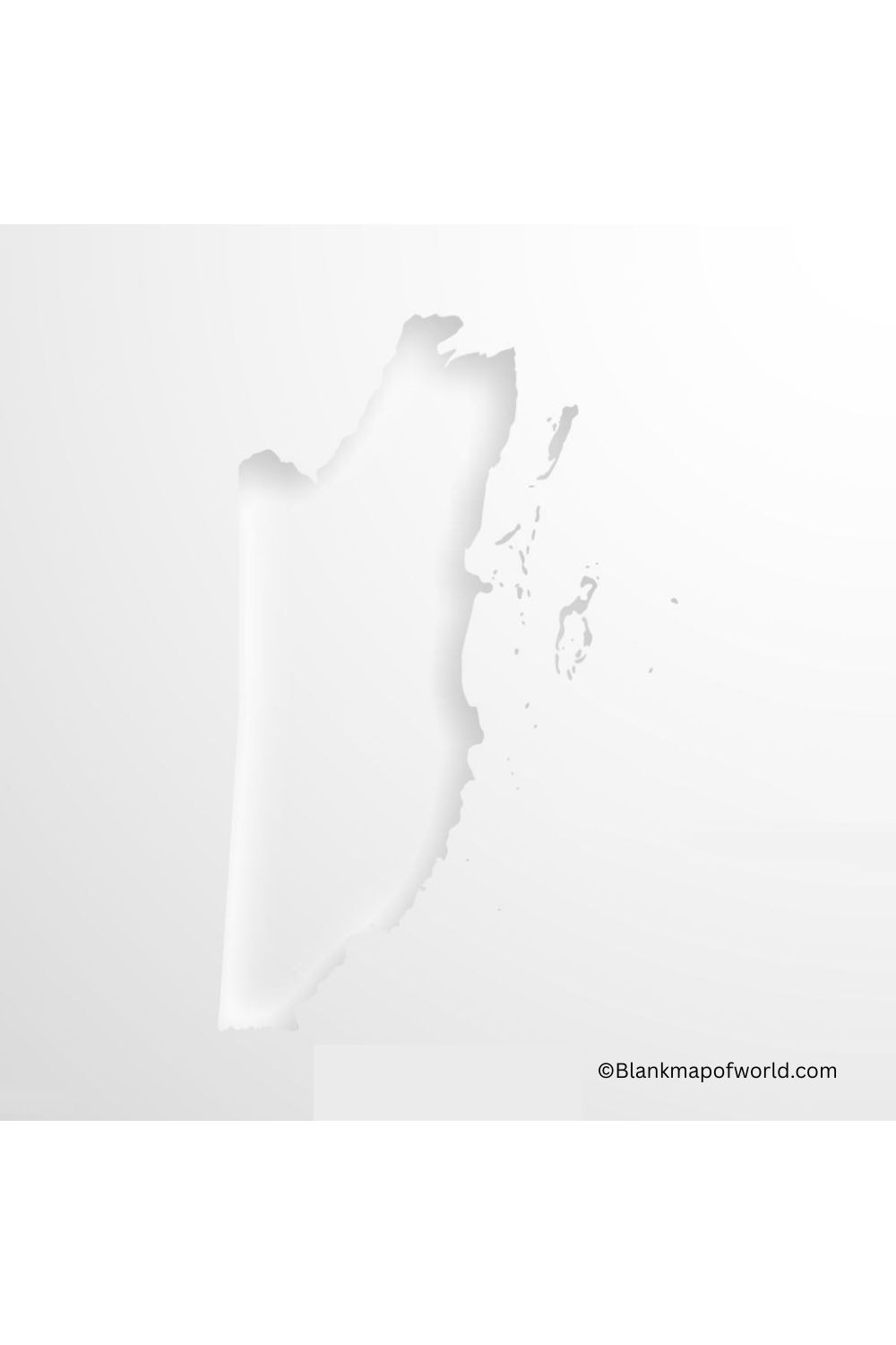
Transparent Belize Map
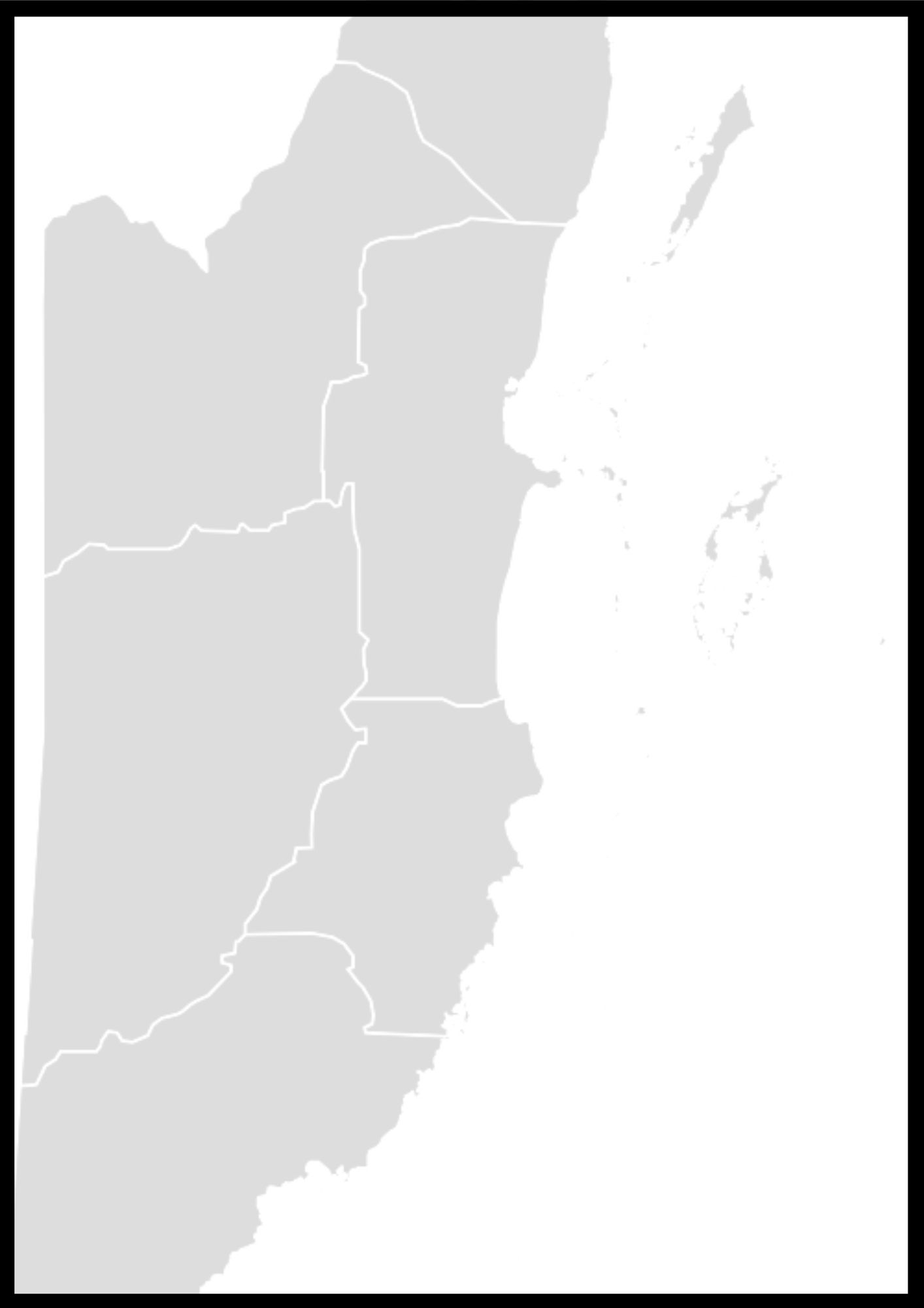
Transparent Belize Map provides a clear and detailed view of the geography of the country, which displays its various landscapes and areas. Located in Central America, Belize is known for its dense rainforests, vibrant coral reefs, and ancient May archaeological sites. The map has transparent layers that display roads, towns, natural parks, and waterways, which make navigation straightforward.
Its design highlights environmental sites, cultural sites, and conservation areas, which encourages awareness about the natural and cultural heritage of Belize. Overall, a transparent belly map is equally a valuable resource for travelers, researchers, and residents, which helps them to detect and appreciate the rich diversity of the country.
![Blank Map of World [Free Printable Maps]](https://blankmapofworld.com/wp-content/uploads/2025/05/blank-map-logo-1.png)
